Santiago de Querétaro in Querétaro, Mexico — The Central Highlands (North America)
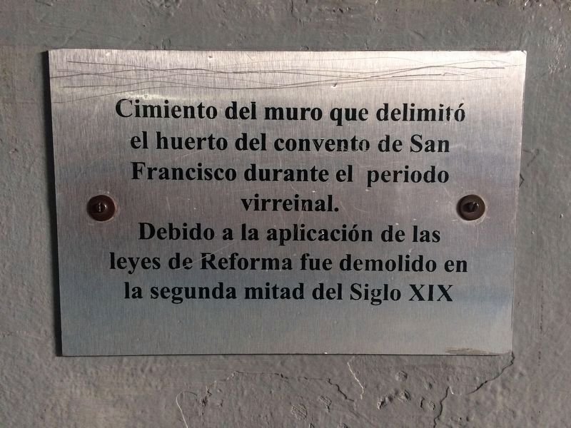
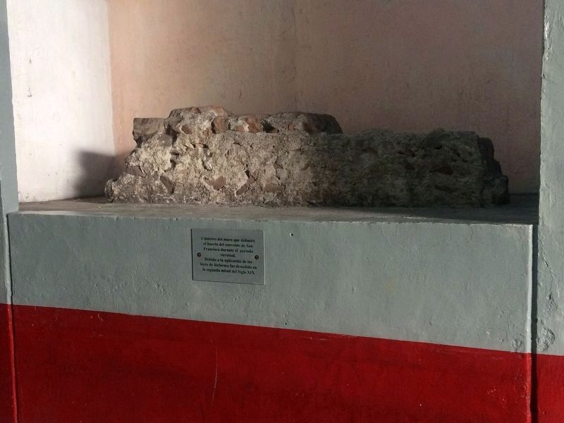
Foundations of the Convent of San Francisco
Inscription.
Topics. This historical marker is listed in these topic lists: Churches & Religion • Colonial Era • Man-Made Features.
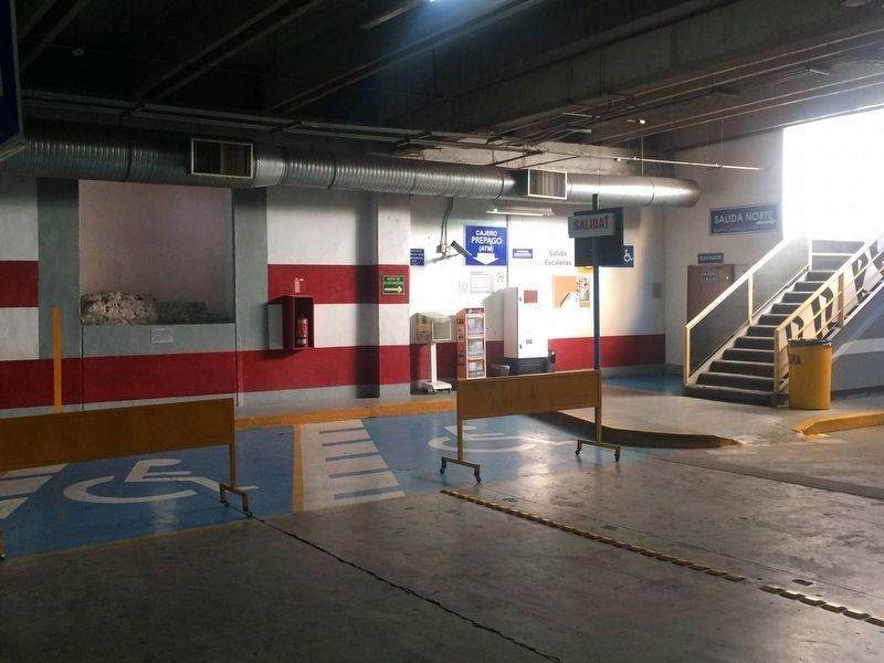
Location. 20° 35.505′ N, 100° 23.505′ W. Marker is in Santiago de Querétaro, Querétaro. Marker can be reached from Calle Benito Juárez just south of Calle Francisco I. Madero, on the right when traveling south. The marker is near the northwest entrance to an underground parking lot, indicating that the foundation walls were at least 3 to 4 meters deep. The parking lot is just south of the Gran Hotel underneath the Plaza de la Constitución. Touch for map. Marker is in this post office area: Santiago de Querétaro QUE 76000, Mexico. Touch for directions.
Other nearby markers. At least 8 other markers are within walking distance of this marker. The Great Convent of San Francisco (within shouting distance of this marker); José M. Arteaga (within shouting distance of this marker); Mexico's Ratification of the Treaty of Guadalupe-Hidalgo (about 90 meters away, measured in a direct line); The Royal Inland Road (about 90 meters away); Church and Former Convent of San Francisco (about 150 meters away); The House of the Marquesa (about 180 meters away); The Flor Baja Fountain (about 180 meters away); Residence of Epigmenio and Emeterio González (about 180 meters away). Touch for a list and map of all markers in Santiago de Querétaro.
Credits. This page was last revised on March 5, 2019. It was originally submitted on November 25, 2017, by J. Makali Bruton of Accra, Ghana. This page has been viewed 138 times since then and 8 times this year. Photos: 1, 2, 3. submitted on November 25, 2017, by J. Makali Bruton of Accra, Ghana.


