Near Waimea in Hawaii County, Hawaii — Hawaiian Island Archipelago (Pacific Ocean)
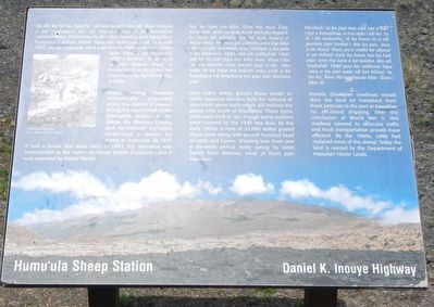
Humu'ula Sheep Station
Daniel K. Inouye Highway
Photographed by Barry Swackhamer, August 31, 2017
1. Humu'ula Sheep Station Marker
How many sheep grazed these lands? In 1890, Japanese laborers built the network of prominent stone walls which still enclose the grassy area south of Maunakea. These stone walls were built to last, though some sections were covered by the 1935 lava flow. By the early 1900s, a herd of 23,000 sheep grazed these lands along with several hundred head of cattle and horses. Shearing was done over a six-weeks period every spring by ranch hands from Waimea, most of them part-Hawaiian.
Paniolo (Hawaiian cowboys) would drive the herd on horseback from these pastures to the port of Kawaihae for off-island shipping. After the conclusion of World War II, this roadway opened to vehicular traffic and truck transportation prove more efficient. By the
this page online
Topics. This historical marker is listed in this topic list: Agriculture. A significant historical year for this entry is 1873.
Location. 19° 41.328′ N, 155° 27.99′ W. Marker is near Waimea, Hawaii, in Hawaii County. It is at the intersection of Daniel K. Inouye Highway (Saddle Road) (Hawaii Route 200 at milepost 28) and Mauna Kea Access Road, on the right when traveling east on Daniel K. Inouye Highway (Saddle Road). Touch for map. Marker is in this post office area: Kamuela HI 96743, United States of America. Touch for directions.

Regionally, this marker is on the Kona Coast and in the Volcanic Hawaii. Globally, it is in North America, in Polynesia, in the Pacific Ocean, in North Pacific, on the Pacific Rim, in the Western Hemisphere, in the Western World, and in the Anglosphere.
Other nearby markers. At least 6 other markers are within 15 miles of this marker, measured as the crow flies: Pu'uhuluhulu (here, next to this marker); Humu'ula and Kala''i'ehā (approx. 1.2 miles away); Pu'u'ō'ō - Volcano Trail
Photographed by Barry Swackhamer, August 31, 2017
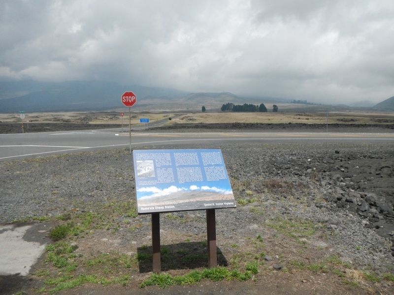
2. Humu'ula Sheep Station Marker
Credits. This page was last revised on March 20, 2022. It was originally submitted on November 28, 2017, by Barry Swackhamer of Brentwood, California. This page has been viewed 1,104 times since then and 71 times this year. Photos: 1, 2. submitted on November 28, 2017, by Barry Swackhamer of Brentwood, California.
