Near Waimea in Hawaii County, Hawaii — Hawaiian Island Archipelago (Pacific Ocean)
Pu'uhuluhulu
Daniel K. Inouye Highway
Inscription.
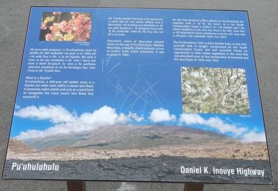
What is a kīpuka?
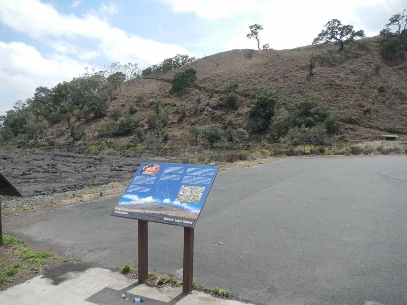
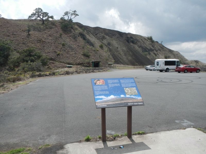
Pu'uhuluhulu, a 500-year old patter cone, is a kīpuka ( an older oasis within a newer lava flow). It preserves native plants and acts as a seed bank to revegetate the more recent lava flows that surround it.
Panoramic views of Maunaloa reward hikers at the top of Pu'uhuluhulu. Massive Maunaloa, a basaltic shield volcano, is one of the earth's most active volcanoes. It last erupted in 1984.
The Pu'uhuluhulu Trail, a short double loop, is just over one-half mile in length. Constructed by the Youth Conservation Corps, this trail provides hikers an opportunity to view native vegetation in the area that was abundant prior t the introduction of livestock and the lava flows of 1843 and 1935.
Topics. This historical marker is listed in this topic list: Natural Features.
Location. 19° 41.328′ N, 155° 27.99′ W. Marker is near Waimea, Hawaii, in Hawaii County. Marker is at the intersection of Daniel K. Inouye Highway (Saddle Road) (Route 200 at milepost 28) and Mauna Kea Access Road, on the right when traveling east on Daniel K. Inouye Highway (Saddle Road). Touch for map. Marker is in this post office area: Kamuela HI 96743, United States of America. Touch for directions.
Other nearby markers. At least 6 other markers are within 15 miles of this marker, measured as the crow flies. Humu'ula Sheep Station (here, next to this marker); Humu'ula and Kala''i'ehā (approx. 1.2 miles away); Pu'u'ō'ō - Volcano Trail (approx. 5.4 miles away); Saddle House - Hale Noho Lio (approx. 5.9 miles away); Hilo -- Pu'u'ō'ō Trail (Ka'ūmana Trail) (approx. 8 miles away); Once in their lifetime, silverswords erupt in flowers (approx. 14.6 miles away).
Credits. This page was last revised on March 20, 2022. It was originally submitted on November 28, 2017, by Barry Swackhamer of Brentwood, California. This page has been viewed 192 times since then and 13 times this year. Photos: 1, 2, 3. submitted on November 28, 2017, by Barry Swackhamer of Brentwood, California.


