Near Hilo in Hawaii County, Hawaii — Hawaiian Island Archipelago (Pacific Ocean)
Pu'u'ō'ō - Volcano Trail
Daniel K. Inouye Highway
Inscription.
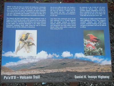
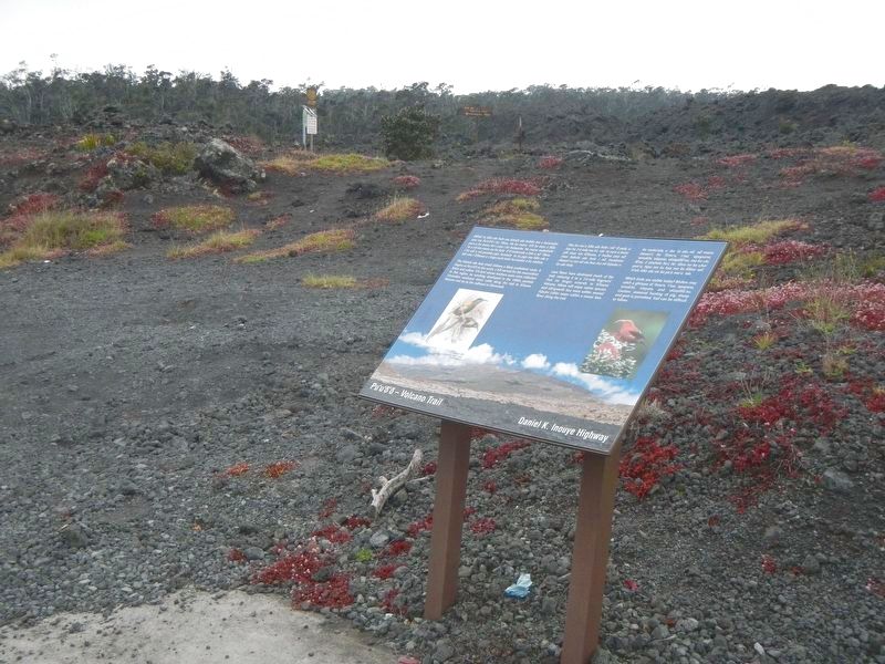
The historic ala hele (trail) follows a likely prehistoric route. It begins a Pu'u'ō'ō to the north, a hill named for the now-extinct black and yellow 'ō'ō bird who's feathers were once collected in this region. As ranching developed in the 1900s, paniolo (Hawaiian cowboys) drove cattle along the trail to Kīlauea Volcano and on to the railhead at Glenwood.
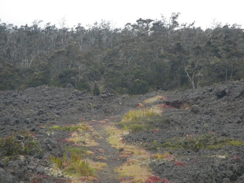
Lava flows have destroyed much of the trail, reducing it to a 7.4-mile fragment that no longer extends to Kīluea Volcano. Hikers will enjoy native species and old-growth koa trees within several kīpuka (older oases within a newer lava flow) along the trail.
Which birds are visible today? Birders may catch a glimpse of 'ōma'o, and 'akiapōlā'au. Caution: seasonal hunting of pig, sheep and goat is permitted. Trail can be difficult to follow.
Topics. This historical marker is listed in this topic list: Roads & Vehicles.
Location. 19° 40.622′ N, 155° 23.061′ W. Marker is near Hilo, Hawaii, in Hawaii County. Marker is on Daniel K. Inouye Highway (Saddle Road) (Hawaii Route 200 at milepost 24), on the right when traveling east. Touch for map. Marker is in this post office area: Hilo HI 96720, United States of America. Touch for directions.
Other nearby markers. At least 6 other markers are within 13 miles of this marker, measured as the crow flies . Saddle House - Hale Noho Lio (approx. half a mile away); Hilo -- Pu'u'ō'ō Trail (Ka'ūmana Trail) (approx. 2.6 miles away); Humu'ula and Kala''i'ehā (approx. 4.2 miles away); Humu'ula Sheep Station (approx. 5.4 miles away); Pu'uhuluhulu (approx. 5.4 miles away); Once in their lifetime, silverswords erupt in flowers (approx. 12.8 miles away).
Credits. This page was last revised on November 30, 2017. It was originally submitted on November 30, 2017, by Barry Swackhamer of Brentwood, California. This page has been viewed 271 times since then and 19 times this year. Photos: 1, 2, 3. submitted on November 30, 2017, by Barry Swackhamer of Brentwood, California.


