Near Hilo in Hawaii County, Hawaii — Hawaiian Island Archipelago (Pacific Ocean)
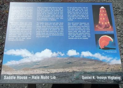
Saddle House - Hale Noho Lio
Daniel K. Inouye Highway
Photographed by Barry Swackhamer, September 5, 2017
1. Saddle House - Hale Noho Lio Marker
Captions: (top right) 'Ahu'ula (cape); (bottom right) Mahiole (helmet) ca. 1810.
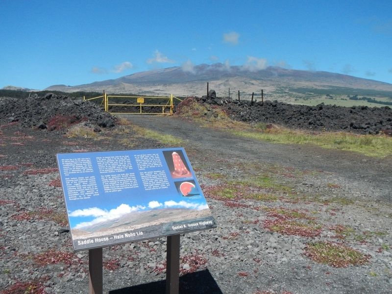
The Saddle House was built after World War II by Shipman's Pu'u'ō'ō Ranch. Initially, Saddle House was just one room used for cooking and storing saddles. Later it was enlarged to its present size and served as the main ranch house. In 1974, Saddle House was returned to the state's Waiākea Forest Reserve. Authorized access only via yellow gate.
How did ancient Hawaiians use bird feathers? Bird Catchers captured their prey in the land of the Humu'ula Saddle. 'Ua'u, nēnē and koloa was hunted as a food source while other birds were valued for their colorful feathers. These bright feathers were used to craft glorious cloaks and helmets worn by ali'i (royalty).
Topics. This historical marker is listed in these topic lists: Agriculture • Religion & Religious Structures.
Location. 19° 40.572′ N,
this page online

Regionally, this marker is on Hilo and East Hawaii and in the Volcanic Hawaii. Globally, it is in North America, in Polynesia, in the Pacific Ocean, in North Pacific, on the Pacific Rim, in the Western Hemisphere, in the Western World, and in the Anglosphere.
Other nearby markers. At least 6 other markers are within 13 miles of this marker, measured as the crow flies: Pu'u'ō'ō - Volcano Trail (approx. half a mile away); Hilo -- Pu'u'ō'ō Trail (Ka'ūmana Trail) (approx. 2 miles away); Humu'ula and Kala''i'ehā (approx. 4.7 miles away); Humu'ula Sheep Station (approx. 5.9 miles away); Pu'uhuluhulu (approx. 5.9 miles away); Once in their lifetime, silverswords erupt in flowers (approx. 12.7 miles away).
Additional keywords. ranching,
Photographed by Barry Swackhamer, September 5, 2017
2. Saddle House - Hale Noho Lio Marker
Mauna Kea in the background
Credits. This page was last revised on December 6, 2017. It was originally submitted on December 6, 2017, by Barry Swackhamer of Brentwood, California. This page has been viewed 1,080 times since then and 91 times this year. Photos: 1, 2. submitted on December 6, 2017, by Barry Swackhamer of Brentwood, California.
