Near Lompoc in Santa Barbara County, California — The American West (Pacific Coastal)
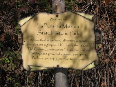
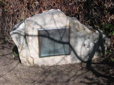
La Purisima Mission State Historic Park
Topics and series. This historical marker is listed in these topic lists: Charity & Public Work • Churches & Religion • Colonial Era • Settlements & Settlers. In addition, it is included in the Civilian Conservation Corps (CCC), and the National Historic Landmarks series lists. A significant historical year for this entry is 1934.
Location. 34° 40.241′ N, 120° 25.253′ W. Marker is near Lompoc, California, in Santa Barbara County. Marker can be reached from the intersection of Purisima and Mission Gate Road. Marker is located at the entrance to the La Purisima Mission State Historic Park, north of the parking lot. Touch for map. Marker is in this post office area: Lompoc CA 93436, United States of America. Touch for directions.
Other nearby markers. At least 8 other markers are within 4 miles of this marker, measured as the crow flies. La Purisima Mission (approx. 1.1 miles away); a different marker also named La Purisima Mission (approx. 2.9 miles away); Lompoc's Mission Vieja (approx. 3.1 miles away); Lompoc Carnegie Library (approx. 3.1 miles away); Italian Stone Pines (approx. 3.1 miles away); Lompoc World War I Monument (approx. 3.1 miles away); First Successful Cement Job (approx. 3.2 miles away); Original Site of Mission de La Purisima Concepcion de Maria Santisima (approx. 3.4 miles away). Touch for a list and map of all markers in Lompoc.
Also see . . . La Purisima Mission State Historic Park. (Submitted on September 6, 2008, by Syd Whittle of Mesa, Arizona.)
Additional commentary.
1. National Historic Landmark - Statement of Significance (as of designation-April 15, 1970)
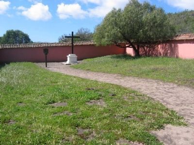
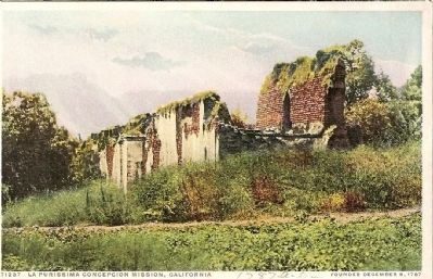
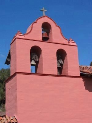
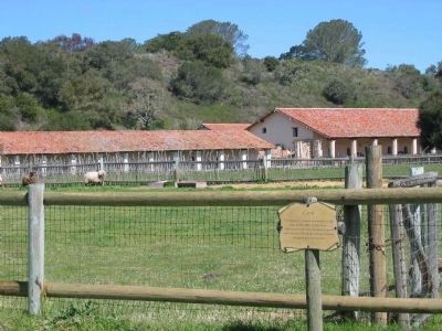
This is an outstanding example of a detailed restoration of a representative mission complex and gardens in an unaltered rural setting. The first mission, founded in 1787, was destroyed by an earthquake in 1812; the present buildings are a reconstruction (1935-42) of a second mission which fell into disrepair after secularization in 1834.
— Submitted September 27, 2008, by Syd Whittle of Mesa, Arizona.
Credits. This page was last revised on September 19, 2022. It was originally submitted on September 6, 2008, by Syd Whittle of Mesa, Arizona. This page has been viewed 3,018 times since then and 15 times this year. Photos: 1. submitted on September 6, 2008, by Syd Whittle of Mesa, Arizona. 2. submitted on September 19, 2008, by Syd Whittle of Mesa, Arizona. 3, 4, 5, 6. submitted on September 6, 2008, by Syd Whittle of Mesa, Arizona. • Kevin W. was the editor who published this page.
