Near Temple Bar Marina in Mohave County, Arizona — The American Mountains (Southwest)
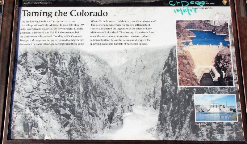
Taming the Colorado
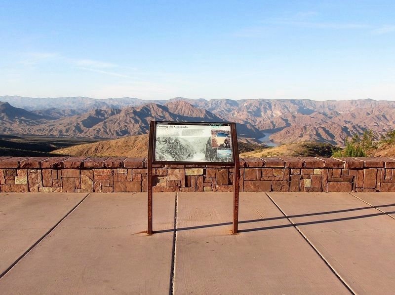
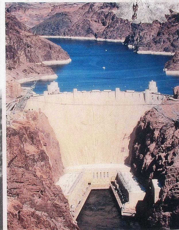
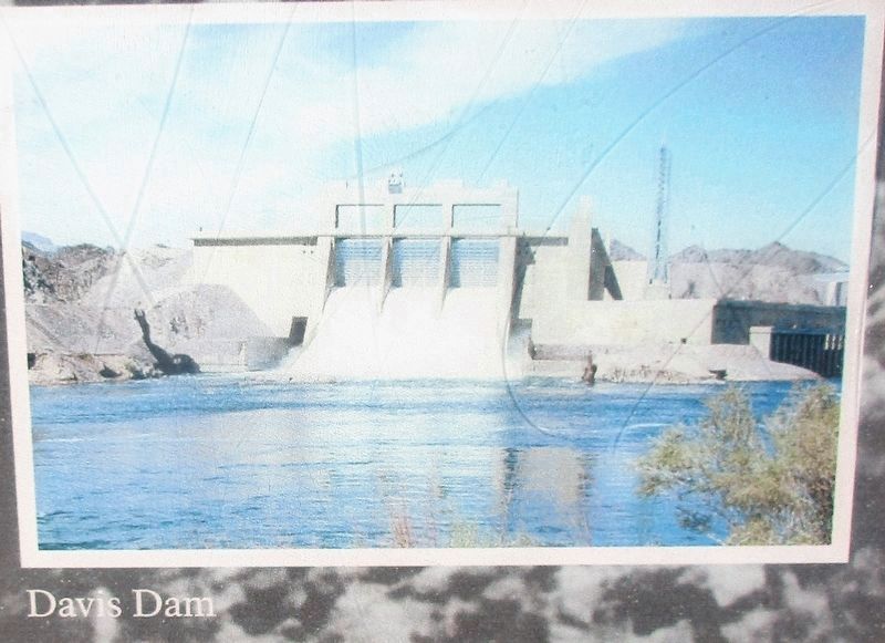
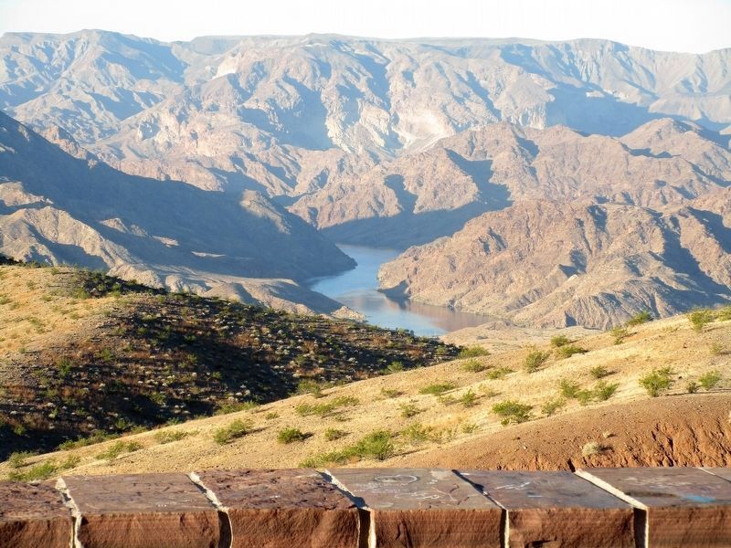
You are looking into Black Canyon and a narrow, river-like portion of Lake Mohave. To your left, about 59 miles downstream, is Davis Dam. To your right, 11 miles upstream, is Hoover Dam. The U.S. Government built the dams to tame the periodic flooding of the Colorado River, provide irrigation during dry periods, and generate electricity. The dams essentially accomplished these goals.
What effects, however, did they have on the environment? The deeper and wider waters attracted different bird species and altered the vegetation at the edges of Lake Mohave and Lake Mead. The slowing of the river’s flow made water temperature more constant, reduced sediment buildup below the dams, and disrupted the spawning cycles and habitats of native fish species.
Erected by National Park Service, U.S. Department of the Interior.
Topics. This historical marker is listed in these topic lists: Environment • Waterways & Vessels.
Location. 35° 52.927′ N, 114° 36.92′ W. Marker is near Temple Bar Marina, Arizona, in Mohave County. Marker can be reached from U.S. 93 at milepost 13 when traveling north. The marker is located at the Lake Mead Scenic View pull off. Touch for map. Marker is in this post office area: Temple Bar Marina AZ 86443, United States of America. Touch for directions.
Other nearby markers. At least 8 other markers are within 12 miles of this marker, measured as the crow flies. Explore Lake Mead (about 700 feet away, measured in a direct line); Anson Smith (approx. 11.4 miles away); Hoover Dam (approx. 11˝ miles away in Nevada); Dr. Elwood Mead (approx. 11.6 miles away in Nevada); They Died to Make the Desert Bloom (approx. 11.6 miles away in Nevada); They Laboured that Millions might see a Brighter Day (approx. 11.6 miles away in Nevada); a different marker also named Dr. Elwood Mead (approx. 11.6 miles away in Nevada); Hoover Dam and Lake Mead (approx. 11.6 miles away in Nevada).
Credits. This page was last revised on August 16, 2020. It was originally submitted on December 8, 2017, by Rev. Ronald Irick of West Liberty, Ohio. This page has been viewed 562 times since then and 47 times this year. Photos: 1, 2, 3, 4, 5, 6. submitted on December 8, 2017, by Rev. Ronald Irick of West Liberty, Ohio. • Syd Whittle was the editor who published this page.
