Bandera in Bandera County, Texas — The American South (West South Central)
Camp Montel C.S.A. / Texas Civil War Frontier Defense
Inscription.
(side 1)
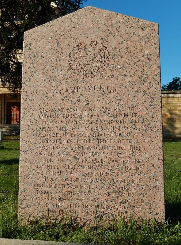
Camp Montel C.S.A.
Site 25 mi. West on Hy. 470, 1 mi. South. Established 1862 as part of Red River-Rio Grande defense line. Named for Captain Charles DeMontel, surveyor and colonizer of Bandera, leader of county defenses. Occupied by troops of Texas frontier regiment who furnished their own guns and mounts but often lacked food, clothing, supplies. In 1860 Bandera County's population was 399. Although all the men were needed to defend the county from Indians, many joined the Confederate and State troops. Some went to protect the Texas Coast from Union invasion. Many were assigned to defend the frontier in this region. Scouting parties and patrols managed to effectively curb Indian raids until war's end.
(side 2)
Texas Civil War Frontier Defense
Texas had 2,000 miles of coastline and frontier to defend from Union attack; Indian raids, marauders, bandits from Mexico & Defense lines were set to give maximum protection with the few men left in the State. One line stretched from El Paso to Brownsville. Another, including Camp Montel, had stations a day's horseback ride apart from Red River to Rio Grande. Former U.S. forts used by scouting parties lay in a line between & behind these lines and to the east organized militia, citizens' posses from settlements backed the Confederate and State troops.
who served the Confederacy
Erected 1964 by State of Texas. (Marker Number 668.)
Topics. This historical marker is listed in these topic lists: Forts and Castles • Settlements & Settlers • War, US Civil. A significant historical year for this entry is 1862.
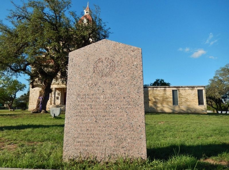
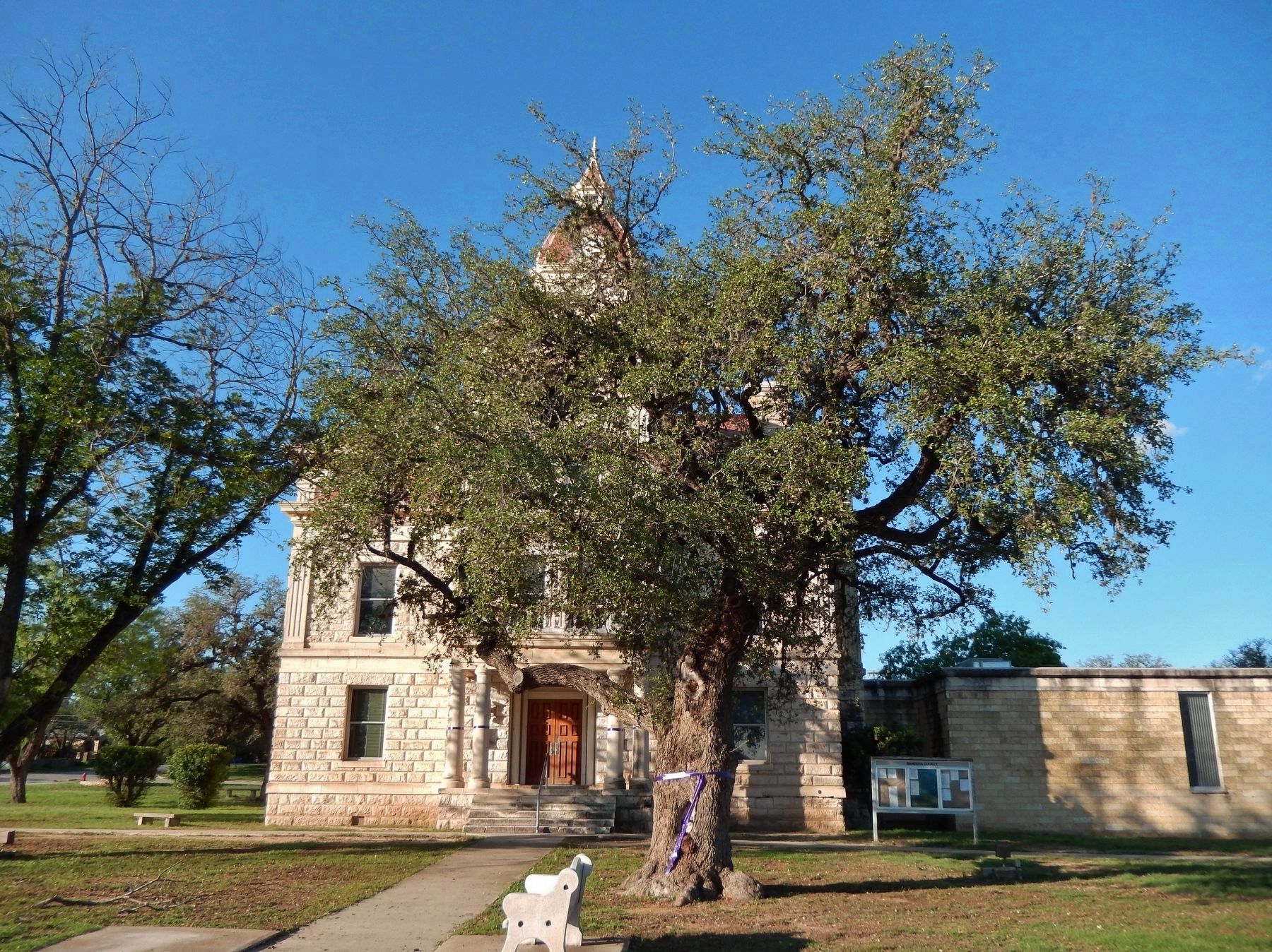
Location. 29° 43.584′ N, 99° 4.364′ W. Marker is in Bandera, Texas, in Bandera County. Marker is on Main Street (State Highway 173) north of Hackberry Street, on the right when traveling north. Marker is located in front of the Bandera County Courthouse. Touch for map. Marker is at or near this postal address: 504 Main Street, Bandera TX 78003, United States of America. Touch for directions.
Other nearby markers. At least 8 other markers are within walking distance of this marker. Bandera County War Memorial (a few steps from this marker); Tribute to Valor (a few steps from this marker); Amasa Clark (a few steps from this marker); Bandera County Courthouse (within shouting distance of this marker); Mormon Settlers in Bandera County (within shouting distance of this marker); Old Texas Ranger Trail (within shouting distance of this marker); Captain Jack Phillips (within shouting distance of this marker); Great Western Cattle Trail (within shouting distance of this marker). Touch for a list and map of all markers in Bandera.
More about this marker. Marker is a large, pink granite slab. It is significantly weathered and somewhat difficult to read
Also see . . . Camp Montel. Camp Montel, at the head of Seco Creek in Bandera County, was established by James M. Norris in March 1862 as a ranger station for the Frontier Regiment. At this site the town of Montell was later established. In 1880 and 1881 Company G of the First Texas Volunteer Cavalry was organized and named the Montell Guards. The company, consisting of thirty-seven men and an ordnance store, was stationed at Montell. (Submitted on December 8, 2017, by Cosmos Mariner of Cape Canaveral, Florida.)
Credits. This page was last revised on December 10, 2017. It was originally submitted on December 8, 2017, by Cosmos Mariner of Cape Canaveral, Florida. This page has been viewed 529 times since then and 32 times this year. Photos: 1, 2, 3. submitted on December 8, 2017, by Cosmos Mariner of Cape Canaveral, Florida. • Bernard Fisher was the editor who published this page.


