Near Sumpter in Baker County, Oregon — The American West (Northwest)
Anchoring the Dredge
The Biggest Spud You Ever Saw
Photographed by Barry Swackhamer, June 29, 2017
1. Anchoring the Dredge Marker
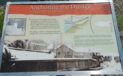
Caption: (right center) By loosening or tightening the bow lines at the front of the dredge, the operator could make "sweeps: in and arc, taking 110-foot "bites" out of the land with the bucket line. The spud stabilized the dredge and acted as a pivot point of the back end as the from end swung from side to sided and the bucket line scooped up material. When the dredge was ready to move to the nest location, the operator hoisted the spud and dragged the dredge forward with cables. Then he dropped the spud, burying it once again in the pond bottom.
The dredge "anchor" at the back end of the dredge was a 42-ton steel I-beam called a spud.
Erected by Oregon State Parks.
Topics. This historical marker is listed in this topic list: Waterways & Vessels.
Location. 44° 44.551′ N, 118° 12.287′ W. Marker is near Sumpter, Oregon, in Baker County. It can be reached from Austin Street near Mill Street (County Route 410), on the right when traveling south. Touch for map. Marker is at or near this postal address: 211 Austin Street, Sumpter OR 97877, United States of America. Touch for directions.

Regionally, this marker is in Eastern Oregon. It is also in the American Mountain West and in the Lewis & Clark Corridor. Globally, it is in North America, on the Pacific Rim, in the Western Hemisphere, in the Western World, and in the Anglosphere.
Other nearby markers. At
this page online
More about this marker. The marker is located on the trail that circles the dredge pond.
Photographed by Barry Swackhamer, June 29, 2017
2. Anchoring the Dredge Marker
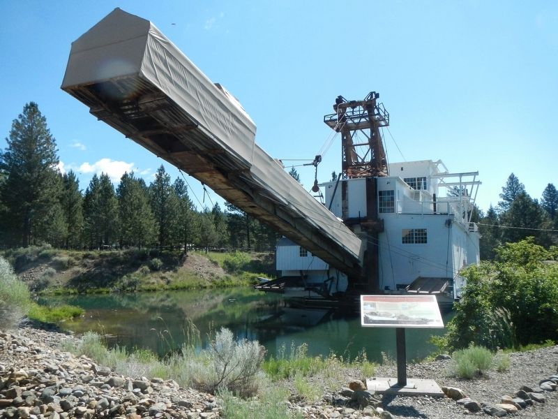
The spud is located at the back (stern) of the dredge, above the marker.
Credits. This page was last revised on December 9, 2017. It was originally submitted on December 9, 2017, by Barry Swackhamer of Brentwood, California. This page has been viewed 393 times since then and 21 times this year. Photos: 1, 2. submitted on December 9, 2017, by Barry Swackhamer of Brentwood, California.
