Near Joseph in Wallowa County, Oregon — The American West (Northwest)
Iwetemlaykin State Heritage Site
Welcome

Photographed by Barry Swackhamer, June 29, 2017
1. Iwetemlaykin State Heritage Site Marker
Map of Iwetemlaykin State Heritage Site at the right.
Erected by Oregon State Parks, U.S. Forest Service and Nez Perce Reservation.
Topics and series. This historical marker is listed in this topic list: Indigenous Peoples and Communities. In addition, it is included in the The Nez Perce Trail series list.
Location. 45° 20.562′ N, 117° 13.47′ W. Marker is near Joseph, Oregon, in Wallowa County. It is on Wallowa Lake Highway (Oregon Route 351) near South East Street, on the right when traveling south. Touch for map. Marker is in this post office area: Joseph OR 97846, United States of America. Touch for directions.

Regionally, this marker is in Eastern Oregon. It is also in the American Mountain West and in the
this page online
Other nearby markers. At least 8 other markers are within 7 miles of this marker, measured as the crow flies: Putting Down Roots (within shouting distance of this marker); Salmon for Trade (within shouting distance of this marker); "Only the sounds of the horses..." (within shouting distance of this marker); tiwi∙teqis (Old Chief Joseph) (approx. 0.4 miles away); Chief "Old" Joseph (approx. half a mile away); Wallowa Lake (approx. half a mile away); 19 Dr. J.W. Barnard Drugs 08 (approx. 0.7 miles away); Nez Perce (approx. 6.6 miles away). Touch for a list and map of all markers in Joseph.
Another marker is no longer nearby. Benson Bubbler (was approx. 6.3 miles away but has been permanently removed).
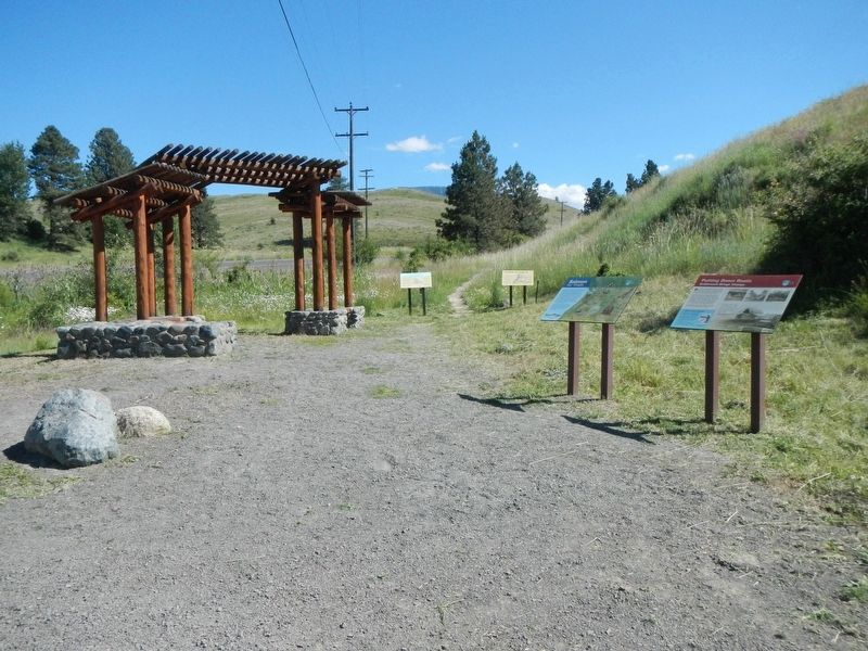
Photographed by Barry Swackhamer, June 29, 2017
2. Iwetemlaykin State Heritage Site Marker
The marker is in the back, on the left.
Credits. This page was last revised on December 11, 2017. It was originally submitted on December 11, 2017, by Barry Swackhamer of Brentwood, California. This page has been viewed 599 times since then and 31 times this year. Photos: 1, 2. submitted on December 11, 2017, by Barry Swackhamer of Brentwood, California.
