Near Joseph in Wallowa County, Oregon — The American West (Northwest)
tiwi∙teqis (Old Chief Joseph)
Photographed by Barry Swackhamer, June 29, 2017
1. tiwi∙teqis (Old Chief Joseph) Marker
[Captions:]
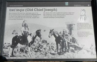
Old Joseph was a key player in the 1855 treaty negotiations. In 1863 he refused to sign the "Steal Treaty" which reduced the 1855 reservation by 90% and ceded all the Wallowa country to the United States.
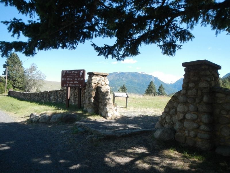
After his original grave near the present town of Wallowa was robbed twice, Old Chief Joseph was reburied at this cemetery on September 26, 1926.
Old Joseph was a key player in the 1855 treaty negotiations. In 1863 he refused to sign the "Steal Treaty" which reduced the 1855 reservation by 90% and ceded all the Wallowa country to the United States.
After his original grave near the present town of Wallowa was robbed twice, Old Chief Joseph was reburied at this cemetery on September 26, 1926.
Born between 1785 and 1790, tiwi∙teqis came to be the principal leader of the walwá∙ma (Wallowa Band), In 1839 he was baptized and christened "Joseph," a name he carried of the rest of his life, despite later renouncing Christianity.
He died in 1871 at the traditional summer camp near the confluence of the Wallowa and Lostine Rivers. The leadership of the band passed to hinmató∙wyalahiqit (Young Joseph).
Erected by National Park Service, U.S. Department of the Interior.
Topics and series. This historical marker is listed in this topic list: Indigenous Peoples and Communities. In addition, it is included in the The Nez Perce Trail series list.
Location. 45° 20.191′ N, 117° 13.32′ W. Marker is near Joseph, Oregon, in Wallowa County. It is on Wallowa Lake Highway (Oregon Route 351), on the right when traveling south. Touch for map. Marker is at or near this postal address: 62309 Wallowa Lake Highway, Joseph OR 97846, United States of America. Touch for directions.

Regionally, this marker is in Eastern Oregon. It is also in the American Mountain
this page online
Other nearby markers. At least 8 other markers are within 7 miles of this marker, measured as the crow flies: Chief "Old" Joseph (within shouting distance of this marker); Wallowa Lake (about 400 feet away, measured in a direct line); "Only the sounds of the horses..." (approx. 0.4 miles away); Salmon for Trade (approx. 0.4 miles away); Putting Down Roots (approx. 0.4 miles away); Iwetemlaykin State Heritage Site (approx. 0.4 miles away); 19 Dr. J.W. Barnard Drugs 08 (approx. 1.1 miles away); Nez Perce (approx. 7 miles away). Touch for a list and map of all markers in Joseph.
Another marker is no longer nearby. Benson Bubbler (was approx. 6.7 miles away but has been permanently removed).
Photographed by Barry Swackhamer, June 29, 2017
2. tiwi∙teqis (Old Chief Joseph) Marker
Credits. This page was last revised on July 21, 2022. It was originally submitted on December 12, 2017, by Barry Swackhamer of Brentwood, California. This page has been viewed 593 times since then and 29 times this year. Photos: 1, 2. submitted on December 12, 2017, by Barry Swackhamer of Brentwood, California.
