Globa in Phoenix in Maricopa County, Arizona — The American Mountains (Southwest)
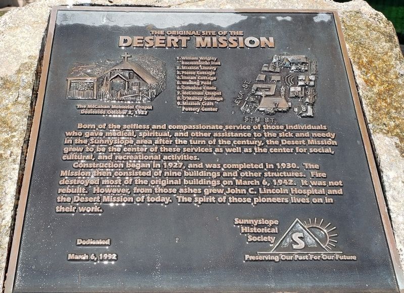
The Original Site of the Desert Mission
Beginnings of John C. Lincoln Hospital
Photographed by Peter Fischer
1. The Original Site of the Desert Mission Marker
Construction began in 1927 and was completed in 1930. The
Mission then consisted of nine buildings and other structures. Fire
destroyed most of the original buildings on March 6 1942. It was not
rebuilt. However, from those ashes grew John C. Lincoln Hospital and
the Desert Mission of today. The spirit of those pioneers lives on in
their work.
Erected 1992 by Sunnyslope Historical Society.
Topics. This historical marker is listed in these topic lists: Charity & Public Work • Science & Medicine.
Location. 33° 34.184′ N, 112° 4.085′ W. Marker is in Phoenix, Arizona, in Maricopa County. It is in Globa. It is at the intersection of Eva Street and North 5th, on the right when traveling west on Eva Street. Marker is in the parking
this page online

Regionally, this marker is in the Sonoran Desert and in the Tohono O’odham Nation. It is also in the American Southwest. Globally, it is in North America, the Western Hemisphere, the Western World, and the Anglosphere. Historically, it finds itself in what was once New Spain, the Gadsden Purchase, and Mexico’s Alta California.
Other nearby markers. At least 8 other markers are within 7 miles of this marker, measured as the crow flies: In Memory of the Students of this School who Enlisted in the Army and Navy during the World War (approx. 5 miles away); United States Indian Vocational Training School (approx. 5 miles away); Manistee Ranch (approx. 6 miles away); Tribute to Navajo Code Talkers (approx. 6.2 miles away); Chief Washakie (approx. 6.4 miles away); Glendale Woman's Club Clubhouse (approx. 6.8 miles away); Sahuaro Ranch (approx. 6.8 miles away); City of Glendale Veterans Memorial (approx. 6.9 miles away). Touch for a list and map of all
Photographed by Rev. Ronald Irick, December 3, 2017
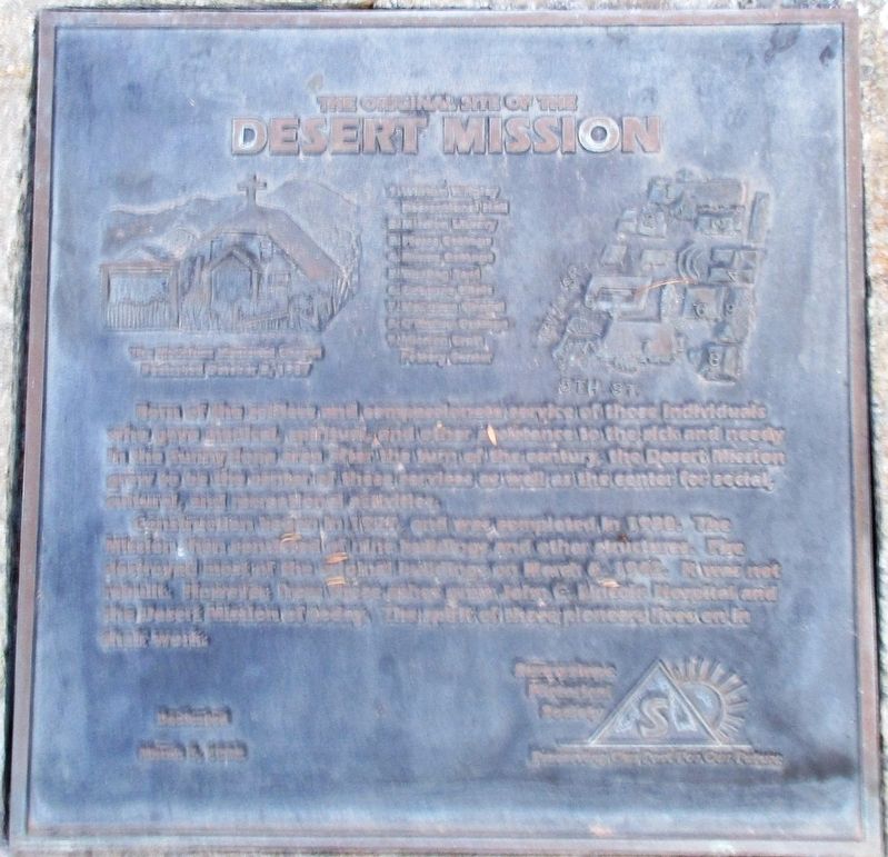
2. The Original Site of the Desert Mission Marker
Photographed by Rev. Ronald Irick, December 3, 2017
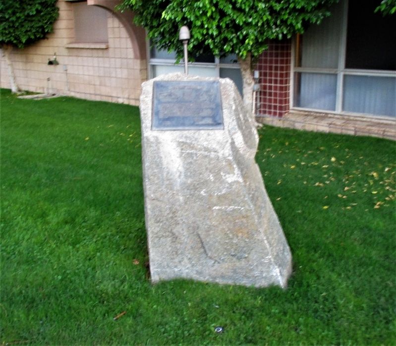
3. The Original Site of the Desert Mission Marker
Photographed by Rev. Ronald Irick, December 3, 2017
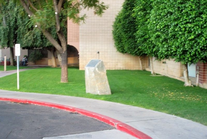
4. The Original Site of the Desert Mission Marker
Credits. This page was last revised on February 2, 2023. It was originally submitted on December 14, 2017, by Rev. Ronald Irick of West Liberty, Ohio. This page has been viewed 911 times since then and 78 times this year. Photos: 1. submitted on September 9, 2020, by Peter Fischer of Phoenix, Arizona. 2, 3, 4. submitted on December 14, 2017, by Rev. Ronald Irick of West Liberty, Ohio. • Andrew Ruppenstein was the editor who published this page.
