Near La Grande in Union County, Oregon — The American West (Northwest)
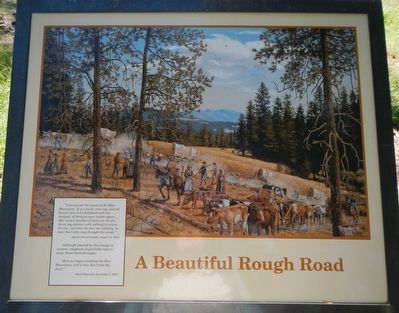
A Beautiful Rough Road
Although pleased by the change in scenery, emigrants found little time to enjoy these forested slopes.
Here we began climbing the Blue Mountains, and if they don't beat the devil." -- David Maynard, September 2, 1850
Erected by Wallow Whitman National Forest.
Topics and series. This historical marker is listed in these topic lists: Roads & Vehicles • Settlements & Settlers. In addition, it is included in the Oregon Trail series list. A significant historical date for this entry is August 18, 1853.
Location. 45° 23.921′ N, 118° 18.774′ W. Marker is near La Grande, Oregon, in Union County. Marker can be reached from Unnamed Road (possibly Oregon Trail Road 1843) near Old Emigrant Hill Scenic Frontage Road. Touch for map. Marker is in this post office area: La Grande OR 97850, United States of America. Touch for directions.
Other nearby markers. At least 8 other markers are within 8 miles of this marker, measured as the crow flies. A Native American Trail (about 500 feet away, measured in a direct line); Parade of Survivors (about 500 feet away); On This Ridge... (about 500 feet away); Wagon Wheels to Automobiles (about 600 feet away); Hilgard Junction Oregon Trail Kiosk (approx. 5˝ miles away); "Wagons East " 1975-1976 (approx. 5˝ miles away); Highway US30 and Perry, Oregon (approx. 7.6 miles away); Conde B. McCullough and Upper Perry Arch Bridge (approx. 7.7 miles away). Touch for a list and map of all markers in La Grande.
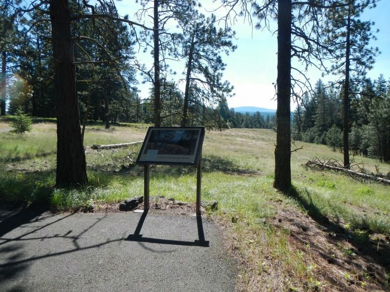
More about this marker. This marker is on the Blue Mountain Crossing Interpretive Trail at Blue Mountain Interpretive Park. To reach the park leave Interstate 84 at Exit 248 and take Old Emigrant Hill Scenic Frontage Road for about 3/4 mile, passing under the freeway, then turn right on the unnamed road. Proceed about 2.5 miles to the parking lot at the end of the road.
Credits. This page was last revised on July 21, 2023. It was originally submitted on December 14, 2017, by Barry Swackhamer of Brentwood, California. This page has been viewed 212 times since then and 16 times this year. Photos: 1, 2. submitted on December 14, 2017, by Barry Swackhamer of Brentwood, California.

