Near Meacham in Umatilla County, Oregon — The American West (Northwest)
Emigrant Springs State Park
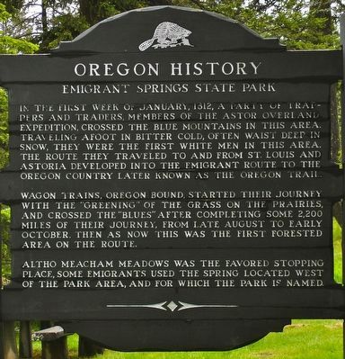
Photographed by Barry Swackhamer, June 30, 2017
1. Emigrant Springs State Park Marker
Wagon trains, Oregon bound, started their journey with the "greening" of the grass on the prairies, and crossed the Blues after completing some 2,200 miles of their journey, from late August to early October. Then as now this was the first forested area on the route. Altho Meacham Meadows was the favored stopping place, some emigrants used the spring located west of the park area, and for which the park is named.
Erected by Old Oregon Trail Association.
Topics and series. This historical marker is listed in these topic lists: Exploration • Roads & Vehicles • Settlements & Settlers. In addition, it is included in the Oregon Beaver Boards, and the Oregon Trail series lists. A significant historical month for this entry is January 1812.
Location. 45° 32.437′ N,
this page online

Regionally, this marker is in Eastern Oregon. It is also in the American Mountain West and in the Lewis & Clark Corridor. Globally, it is in North America, on the Pacific Rim, in the Western Hemisphere, in the Western World, and in the Anglosphere.
Other nearby markers. At least 8 other markers are within 12 miles of this marker, measured as the crow flies: Emigrant Springs Oregon Trail Kiosk (about 700 feet away, measured in a direct line); The Intrepid Pioneers (about 800 feet away); Meacham (approx. 2.9 miles away); Oregon Trail Memorial (approx. 3.1 miles away); Deadman Pass Oregon Trail Kiosk (approx. 4.8 miles away); Oregon Scenic Highways (approx. 8.3 miles away); Parade of Survivors (approx. 12.1 miles away); On This Ridge... (approx. 12.1 miles away). Touch for a list and map of all markers
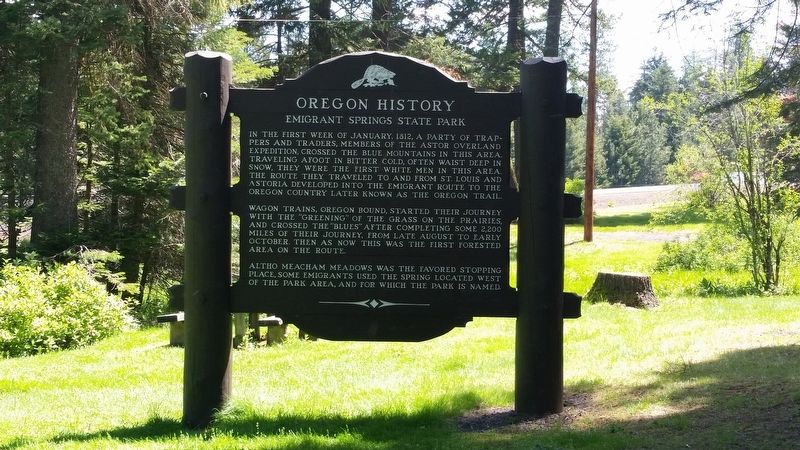
Photographed by Barry Swackhamer, June 30, 2017
2. Emigrant Springs State Park Marker
More about this marker. This marker is located in Emigrant Springs State Heritage Area.
Credits. This page was last revised on December 28, 2020. It was originally submitted on December 15, 2017, by Barry Swackhamer of Brentwood, California. This page has been viewed 779 times since then and 28 times this year. Photos: 1, 2. submitted on December 15, 2017, by Barry Swackhamer of Brentwood, California.
