Farmington in Hartford County, Connecticut — The American Northeast (New England)
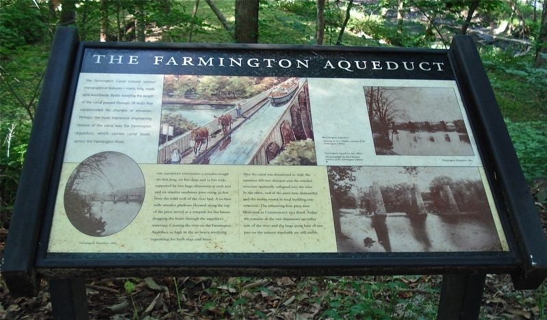
The Farmington Aqueduct
The Farmington Canal crossed various topographic features- rivers, hills, roads and woodlands. Boats traveling the length of the canal passed through 28 locks that compensated for changes in elevation. Perhaps the most impressive engineering feature of the canal was the Farmington Aqueduct, which carried canal boats across the Farmington River.
The Aqueduct contained a wooden trough 280 feet long, six feet deep and 14 feet wide, supported by two huge abutments at each end and six massive sandstone piers rising 40 feet from the solid rock of the river bed. A six foot wide wooden platform elevated along the top of the piers served as a towpath for the horses dragging the boats through the aqueduct’s waterway. Crossing the river on the Farmington Aqueduct so high in the air was a terrifying experience for both man and beast.
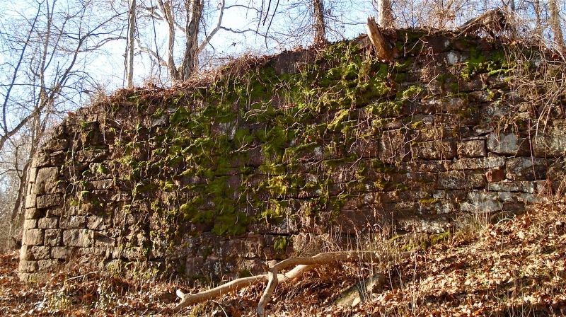
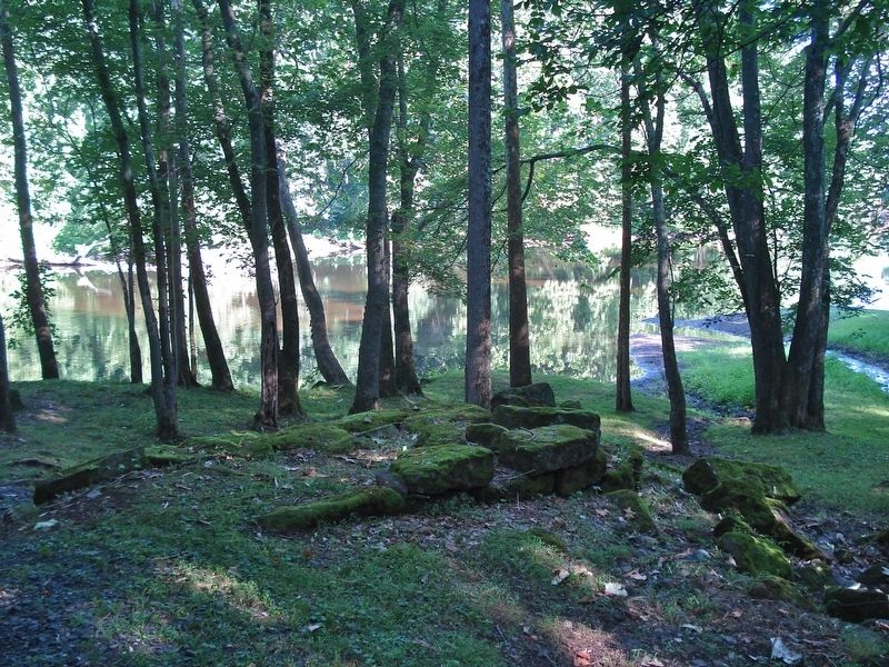
After the canal was abandoned in 1848, the aqueduct fell into disrepair and the wooden structure eventually collapsed into the river. In the 1880’s, two of the piers were dismantled and the stones reused in local building construction. The remaining four piers were destroyed in Connecticut’s 1955 flood. Today, the remains of the two abutments on either side of the river and the large stone base of one pier on the eastern riverbank are still visible.
Topics. This historical marker is listed in these topic lists: Bridges & Viaducts • Waterways & Vessels. A significant historical year for this entry is 1828.
Location. 41° 45.328′ N, 72° 49.249′ W. Marker is in Farmington, Connecticut, in Hartford County. Marker can be reached from Waterville Road. The marker is located on the Canal Aqueduct Trail. Walk 0.1 miles west from the parking lot found at the junction of Waterville Road (route 10) and Aqueduct Lane. Touch for map. Marker is in this post office area: Farmington CT 06032, United States of America. Touch for directions.
Other nearby markers. At least 8 other markers are within 3 miles of this marker, measured as the crow flies. The Farmington Canal (about 700 feet away, measured in a direct line); Canal Aqueduct (about 700 feet away); Canal Junction (about 700 feet away); Birthplace of Wilford Woodruff (approx. 1.3 miles away); Farmington (approx. 1.7 miles away); Lest We Forget (approx. 2 miles away); Farmington and the Freedom Trail (approx. 2.4 miles away); Farmington Veterans Memorial (approx. 2½ miles away). Touch for a list and map of all markers in Farmington.
More about this marker. A map of the Canal Aqueduct Trail is found in the first link.
Also see . . . The Canal Aqueduct Trail. (Submitted on December 17, 2017, by Alan M. Perrie of Unionville, Connecticut.)
Credits. This page was last revised on November 10, 2020. It was originally submitted on December 17, 2017, by Alan M. Perrie of Unionville, Connecticut. This page has been viewed 763 times since then and 103 times this year. Photos: 1, 2, 3. submitted on December 17, 2017, by Alan M. Perrie of Unionville, Connecticut. • Bill Pfingsten was the editor who published this page.


