Eastham in Barnstable County, Massachusetts — The American Northeast (New England)
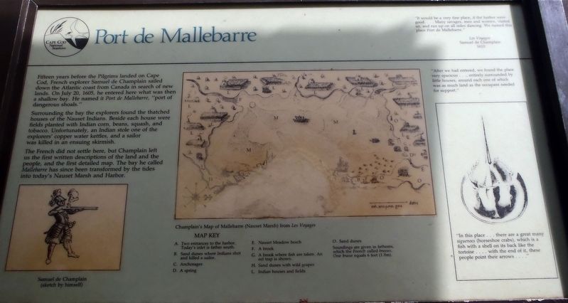
Port de Mallebarre
Surrounding the bay the explorers found the thatched houses of the Nauset Indians. Besides each house were fields planted with Indian corn, beans, squash, and tobacco. Unfortunately, an Indian stole one of the explorers’ copper water kettles, and a sailor was killed in an ensuing skirmish.
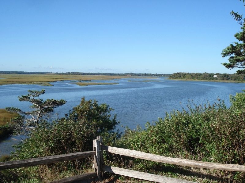
The French did not settle here, but Champlain left us the first written descriptions of the land and people, and the first detailed map. The bay he called Mallebarre has since been transformed by the tides into today’s Nauset Marsh and Harbor.
Erected by Cape Cod National Seashore.
Topics. This historical marker is listed in these topic lists: Exploration • Native Americans. A significant historical date for this entry is July 20, 1605.
Location. 41° 49.336′ N, 69° 57.798′ W. Marker is in Eastham, Massachusetts, in Barnstable County. Marker can be reached from Hemenway Road. The marker is located on a paved trail that starts at the Eastham Boat Launch found at the end of Hemenway Road. Walk a little more than 0.1 mile on this trail. The marker has a roof protecting it. Touch for map. Marker is in this post office area: Eastham MA 02642, United States of America. Touch for directions.
Other nearby markers. At least 8 other markers are within walking distance of this marker. Indian Rock (here, next to this marker); A Whale Bone Welcome (approx. 0.3 miles away); There’s No Place Like Home (approx. 0.3 miles away); Eastham Town Hall (approx. ¾ mile away); First Encounter (approx. ¾ mile away); Eastham Windmill (approx. 0.8 miles away); Cove Burying Ground (approx. 0.8 miles away); Bridge Road Cemetery (approx. 0.9 miles away). Touch for a list and map of all markers in Eastham.
Also see . . . Samuel de Champlain. (Submitted on December 17, 2017, by Alan M. Perrie of Unionville, Connecticut.)
Credits. This page was last revised on December 18, 2017. It was originally submitted on December 17, 2017, by Alan M. Perrie of Unionville, Connecticut. This page has been viewed 534 times since then and 53 times this year. Photos: 1, 2. submitted on December 17, 2017, by Alan M. Perrie of Unionville, Connecticut. • Bill Pfingsten was the editor who published this page.

