Pineville in Rapides Parish, Louisiana — The American South (West South Central)
Intersection of Main and Reagan streets
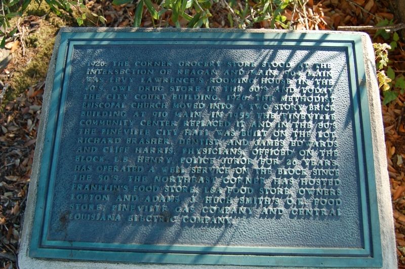
November 24, 2017
1. Intersection of Main and Reagan streets Marker
1926: The Corner Grocery Store stood at the intersection of Reagan and Main. 904 Main was Levy Lawrence's Rooming House in the 40's. Owl Drug Store in the 60's and today the City Court building. 1926: The Methodist Episcopal Church moved into a two story brick building at 910 Main. In 1955 the Pineville Community Center replaced it and in the 80's the Pineville City Hall was built on the lot. Richard Brashear, dentist and James Edwards and Cliff Harris, physicians, officed on the block. L.B. Henry, police juror for 20 years, has operated a well service on the block since the 50's. The northeast corner has hosted Franklin's Food Store, L&A Food Store, owners Lofton and Adams. J. Hugh Smith's O.K. Food Store, Pineville Gas Company and Central Louisiana Electric Company.
Erected by City of Pineville.
Topics. This historical marker is listed in these topic lists: Industry & Commerce • Roads & Vehicles. A significant historical year for this entry is 1926.
Location. 31° 19.5′ N, 92° 25.903′ W. Marker is in Pineville, Louisiana, in Rapides Parish. It is on Main Street (Business U.S. 165) north of Reagan Street, on the
this page online

Regionally, this marker is in Central Louisiana and in Acadiana — Cajun Country. It is also in the American South and specifically in the Deep South. Globally, it is in North America, a Gulf of Mexico state, the Western Hemisphere, the Western World, and the Anglosphere. Historically, it finds itself in what was once New Spain, the Viceroyalty of New France, the territory of the Mississippian Culture, the Louisiana Purchase, one of the Confederate States of America, and the Antebellum South.
Other nearby markers. At least 8 other markers are within walking distance of this marker: 900 Block of Main Street (within shouting distance of this marker); First Baptist Church (within shouting distance of this marker); 1000 Block Main Street (about 400 feet away, measured in a direct line); 1101 Main Street (about 600 feet away); 1100 Block Main Street (about 700 feet away); 800 Block Main Street (about 700 feet away); 835 Main Street (approx. 0.2 miles away);
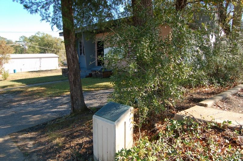
November 24, 2017
2. Intersection of Main and Reagan streets Marker
Credits. This page was last revised on December 17, 2017. It was originally submitted on December 17, 2017, by Cajun Scrambler of Assumption, Louisiana. This page has been viewed 312 times since then and 21 times this year. Photos: 1, 2. submitted on December 17, 2017.
