Teotihuacán de Arista in Teotihuacán, Mexico State, Mexico — The Central Highlands (North America)
Plaza B of the Avenue of the Dead Complex
Inscription.
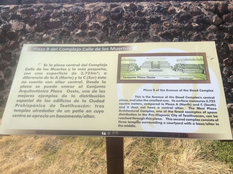
Plaza B del Complejo Calle de los Muertos
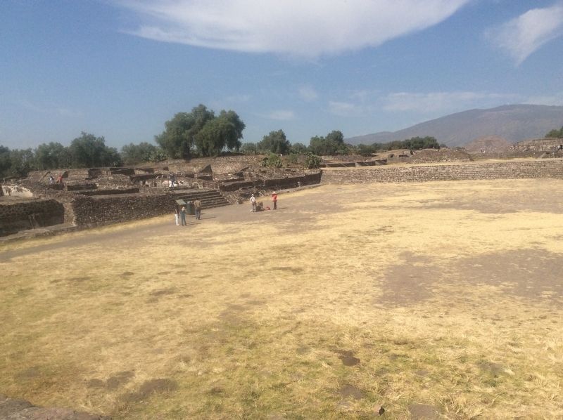
Es la plaza central del Complejo Calle de los Muertos y la más pequeña, con una superficie de 3,723 m2: a diferencia de la A (Norte) y la C (Sur) ésta no cuenta con altar central. Desde la plaza se puede entrar al Conjunto Arquitectónico Plaza Oeste, uno de los mejores ejemplos de la distribución espacial de los edificios de la Ciudad Prehispánica de Teotihuacán: tres templos alrededor de un patio en cuyo centro se aprecia un basamento/altar.
Pie de dibujo: Conjunto Plaza Oeste
Plaza B of the Avenue of the Dead Complex
This is the Avenue of the Dead Complex's central plaza, and also the smallest one. Its surface measures 3,723 square meters, compared to Plaza A (North) and C (South) and it does not have a central altar. The West Plaza Architectural Complex, one of the finest examples of space distribution in the Pre-Hispanic City of Teotihuacan, can be reached through this plaza. This second complex consists of three temples surrounding a courtyard with a base/altar in the middle.
Caption translation:
Western Plaza Complex
Erected by Instituto Nacional de Antropología e Historia (INAH).
Topics. This historical marker is listed in these topic lists: Architecture • Man-Made Features • Native Americans.
Location. 19° 41.295′ N, 98° 50.842′ W. Marker is in Teotihuacán de Arista, Estado de Mexico (Mexico State), in Teotihuacán. Marker can be reached from Calle Paloma just west of Calle Tuxpan. Touch for map. Marker is in this post office area: Teotihuacán de Arista MEX 55880, Mexico. Touch for directions.
Other nearby markers. At least 8 other markers are within walking distance of this marker. West Plaza Complex (a few steps from this marker); Avenue of the Dead Complex (within shouting distance of this marker); Jaguar and Serpent Heads (within shouting distance of this marker); Plaza A of the Avenue of the Dead Complex (about 90 meters away, measured in a direct line); Plaza C of the Avenue of the Dead Complex (about 120 meters away); Northwest San Juan River Complex (approx. 0.2 kilometers away); Teotihuacan After Its Abandonment (approx. half a kilometer away); Teotihuacan (approx. half a kilometer away). Touch for a list and map of all markers in Teotihuacán de Arista.
Credits. This page was last revised on December 18, 2017. It was originally submitted on December 18, 2017, by J. Makali Bruton of Accra, Ghana. This page has been viewed 152 times since then and 11 times this year. Photos: 1, 2. submitted on December 18, 2017, by J. Makali Bruton of Accra, Ghana.

