Ellicott City in Howard County, Maryland — The American Northeast (Mid-Atlantic)
Old Court House, 1840:
National Park Service Underground Railroad
| — | Network to Freedom | — |
Photographed by Allen C. Browne, December 18, 2017
1. Old Court House, 1840: Marker
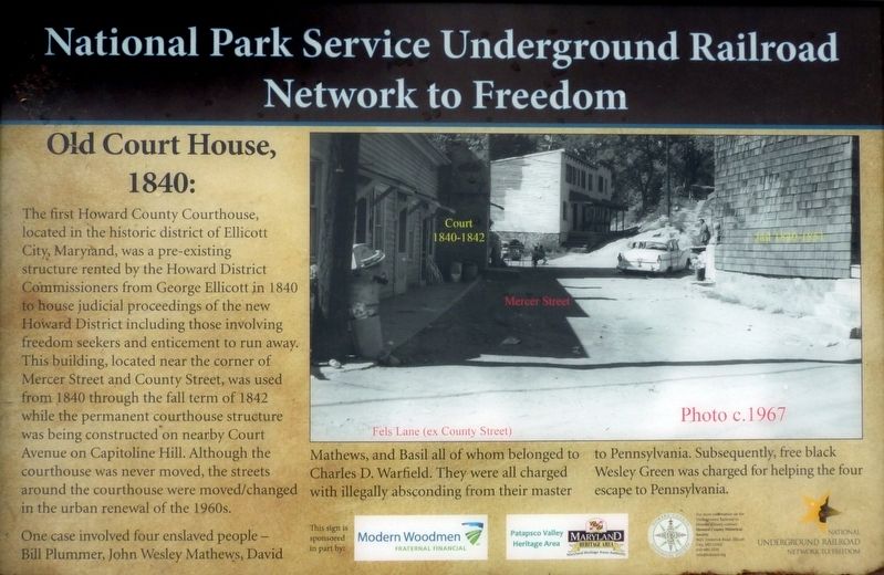
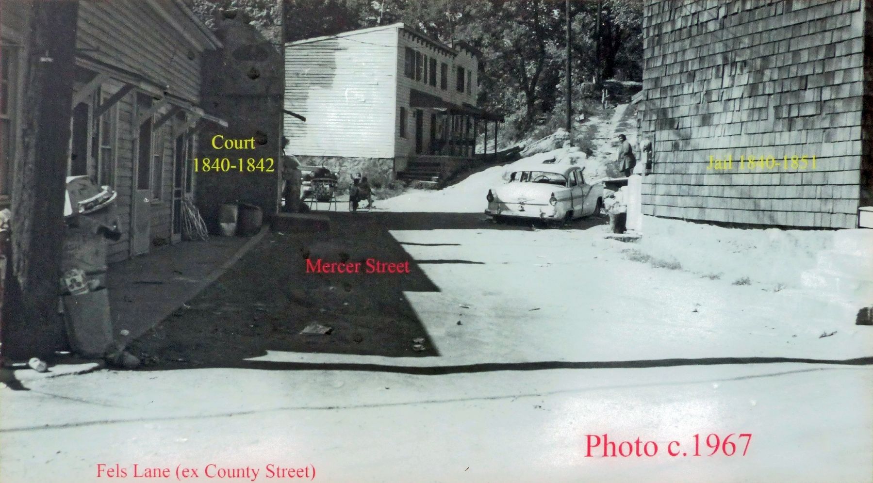
The first Howard County Courthouse, located in the historic district of Ellicott City Maryland, was a pre-existing structure rented by the Howard District Commissioners from George Ellicott in 1840 to house judicial proceedings of the new Howard District including those involving freedom seekers and enticement to run away. This building, located near the corner of Mercer Street and County Street, was used from 1840 through the fall term of 1842 while the permanent courthouse structure was being constructed on nearby Court Avenue on Capitoline Hill. Although the courthouse was never moved, the streets around the courthouse were moved/changed in the urban renewal of the 1960s. One case involved four enslaved people Bill Plummer, John Wesley Mathews, David Mathews and Basil all of whom belonged to Charles W. Warfield. They were all charged with illegally absconding from their master to Pennsylvania. Subsequently, free black Wesley Green was charged for helping the four escape to Pennsylvania.
Topics and series. This historical marker is listed in these topic lists: Abolition & Underground RR • African Americans
this page online
Location. Marker is missing. It was located near 39° 16.141′ N, 76° 48.054′ W. Marker was in Ellicott City, Maryland, in Howard County. It could be reached from the intersection of Main Street (Maryland Route 144) and Ellicott Mills Drive. Touch for map. Marker was at or near this postal address: 8398 Main Street, Ellicott City MD 21043, United States of America. Touch for directions.

Regionally, this marker was in the Baltimore Metro Region and in Central Maryland. It was also in the American Mid-Atlantic and on the Eastern Seaboard. Globally, it was in the North Atlantic Region, North America, the Western Hemisphere, the Western World, and the Anglosphere. Historically, it found itself in what was once one of the original Thirteen Colonies and also the Antebellum South.
Other nearby markers. At least 8 other markers are within walking distance of this location: Fells Lane Community (a few steps from this marker); The National Road (within shouting distance
Photographed by Allen C. Browne, December 18, 2017
2. Old Court House, 1840: Marker
Other markers no longer nearby. Fells Lane Community (was a few steps from this marker but has been replaced with another marker now near it); The Road to Prosperity (was within shouting distance of this marker but has been confirmed missing); MaryLandscapes (was within shouting distance of this marker but has been permanently removed).
Also see . . . Old Howard County Courthouse. Maryland Historic Trust Architectural Survey File:
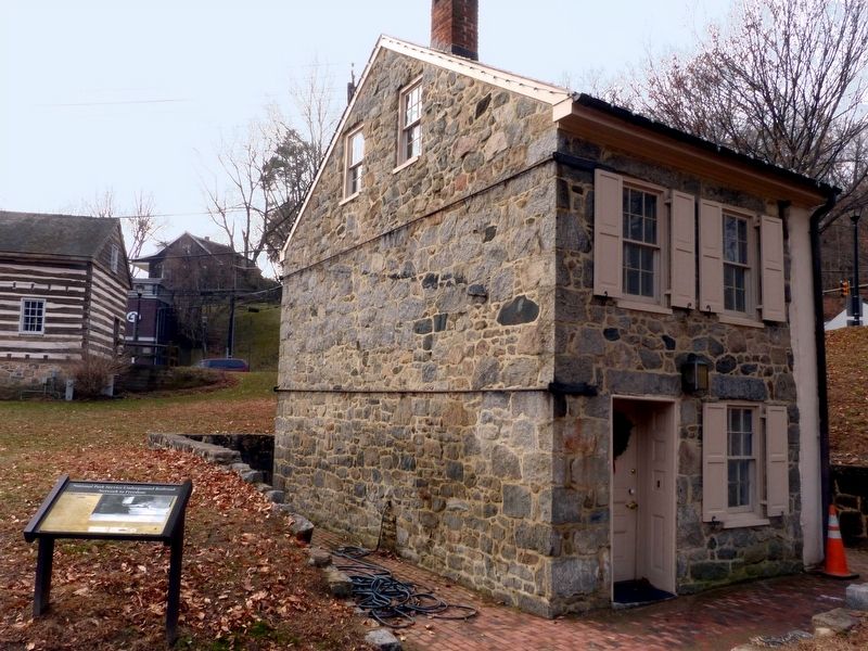
“Standing on the northeast corner of Main Street and Ellicott Mills Drive, the Old Howard County Courthouse was moved to this location between 1969 and 1971. It formerly stood on Mercer Street, which
Photographed by Allen C. Browne, December 18, 2017
3. Fels lane (ex County Street) Photo c. 1967
Additional commentary.
1. Ellicott City Flood 2018
A recent visit to Ellicott City shows this building and marker are missing, resulting from the May 2018 floods.
— Submitted June 25, 2018, by Andy P of Ellicott City, Maryland.
Photographed by Allen C. Browne, December 18, 2017
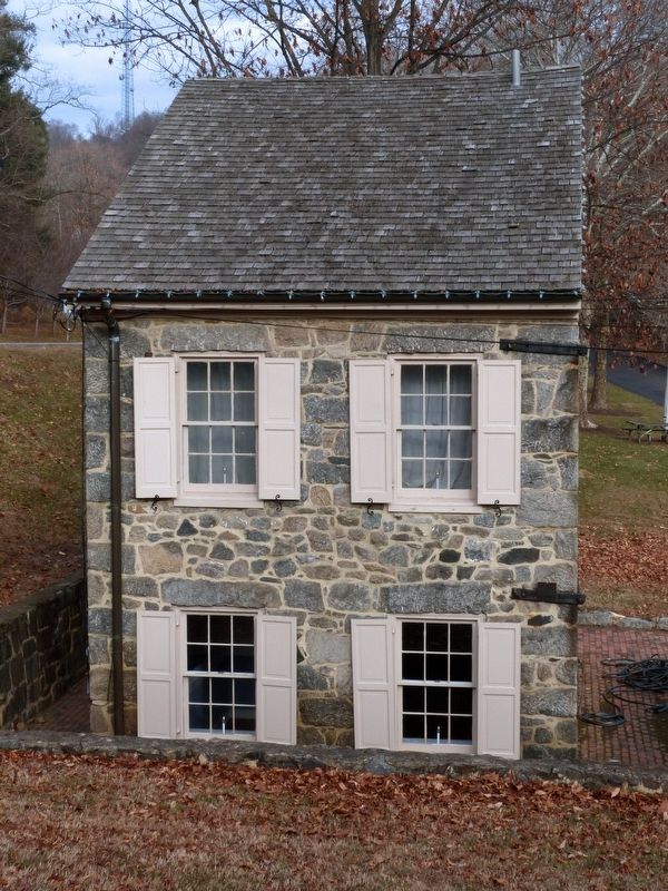
4. Old Court House
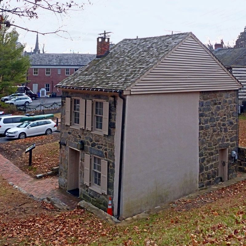
Photographed by Allen C. Browne, December 18, 2017
5. Old Court House
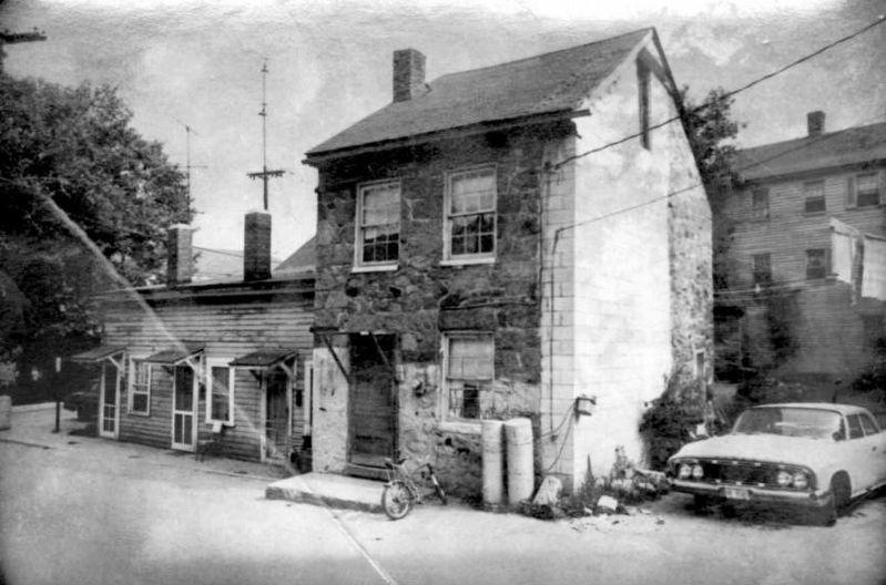
MD Historical Trust
6. Old Court House, 1969
off Fels Lane
off Fels Lane
From the MD Historic Trust Form.
Credits. This page was last revised on July 18, 2026. It was originally submitted on December 22, 2017, by Allen C. Browne of Silver Spring, Maryland. This page has been viewed 911 times since then and 57 times this year. Photos: 1, 2, 3, 4, 5, 6. submitted on December 22, 2017, by Allen C. Browne of Silver Spring, Maryland. • Bill Pfingsten was the editor who published this page.
