Morgan City in St. Mary Parish, Louisiana — The American South (West South Central)
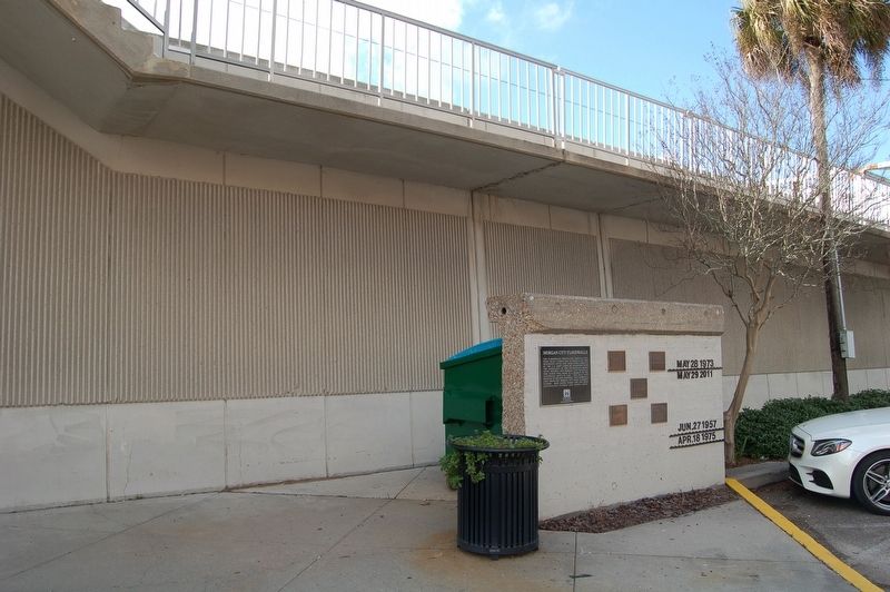
Morgan City Floodwalls

Photographed by Cajun Scrambler, December 21, 2017
1. Morgan City Floodwalls Marker
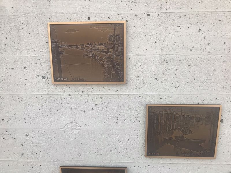
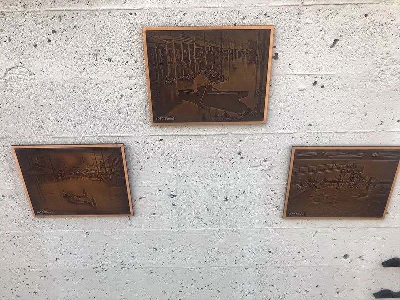
The floodwalls protecting Morgan City were built under the authority of the Mississippi River and Tributaries Project by the U.S. Army Corps of Engineers with the assistance of the Atchafalaya Basin Levee District and Morgan City officials. This 10-foot wall panel is a segment of the floodwall built in 1948. This wall ran parallel to the new floodwall. The floodwalls have protected Morgan City from numerous floods. High water marks for the most significant floods are shown here.
Erected by US Army Corps of Engineers New Orleans District.
Topics. This historical marker is listed in these topic lists: Government & Politics • Waterways & Vessels.
Location. 29° 41.743′ N, 91° 12.63′ W. Marker is in Morgan City, Louisiana, in St. Mary Parish. It is at the intersection of Front Street and Freret Street, on the left when traveling north on Front Street. Touch for map. Marker is in this post office area: Morgan City LA 70380, United States of America. Touch for directions.

Regionally, this marker is in one of the River Parishes, in Acadiana — Cajun Country, and specifically
this page online
Other nearby markers. At least 8 other markers are within walking distance of this marker: Atchafalaya River (a few steps from this marker); Charles Morgan (about 700 feet away, measured in a direct line); The Governor Jared Young Sanders Memorial Monument (approx. 0.2 miles away); Civil War Years (approx. 0.3 miles away); Sacred Heart Of Jesus Church (approx. 0.3 miles away); a different marker also named Atchafalaya River (approx. 0.3 miles away); Southwest Reef Lighthouse (approx. 0.4 miles away); Welcome to Berwick (approx. 0.4 miles away). Touch for a list and map of all markers in Morgan City.
Also see . . . Louisiana 1927. Video of the Flood
Photographed by Cajun Scrambler, December 21, 2017
2. Morgan City Floodwalls Marker
December 22, 2017
3. Morgan City Floodwalls Marker
December 22, 2017
4. Morgan City Floodwalls Marker
Credits. This page was last revised on June 2, 2024. It was originally submitted on December 22, 2017, by Cajun Scrambler of Assumption, Louisiana. This page has been viewed 850 times since then and 70 times this year. Photos: 1, 2, 3, 4. submitted on December 22, 2017.
