Tolland in Capitol Region, Connecticut — The American Northeast (New England)
Tolland
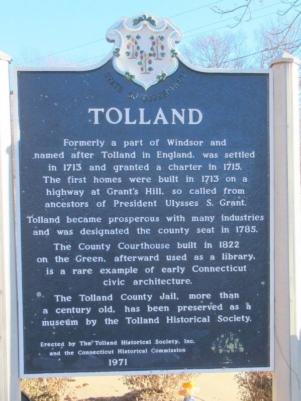
Photographed by Michael Herrick, December 21, 2017
1. Tolland Marker
and the Connecticut Historical Commission
1971
Erected 1971.
Topics. This historical marker is listed in these topic lists: Colonial Era • Settlements & Settlers.
Location. 41° 52.169′ N, 72° 22.155′ W. Marker is in Tolland in Capitol Region, Connecticut. It is at the intersection of Old Post Road and Tolland Green, on the right when traveling west on Old Post Road. Located in front of the Tolland Public Works Office. Touch for map.
this page online

Regionally, this marker is in the American Northeast and in New England. Globally, it is in North America, the Western Hemisphere, the Western World, and the Anglosphere. Historically, it finds itself in what was once Tolland County and also one of the original Thirteen Colonies.
Other nearby markers. At least 8 other markers are within walking distance of this marker: Tolland Veterans Monument (about 500 feet away, measured in a direct line); United Congregational Church of Tolland (about 700 feet away); 46 Tolland Green (about 800 feet away); Tolland County Courthouse (about 800 feet away); Lafayette's Tour (approx. 0.2 miles away); 55 Tolland Green (approx. 0.2 miles away); Tolland Inn (approx. 0.2 miles away); 714 Tolland Stage Road (approx. ¼ mile away). Touch for a list and map of all markers in Tolland.
Also see . . .
1. Town of Tolland, Connecticut. (Submitted on December 26, 2017, by Michael Herrick of Southbury, Connecticut.)
2. Tolland, Connecticut on Wikipedia. (Submitted on December 26, 2017, by Michael Herrick of Southbury, Connecticut.)
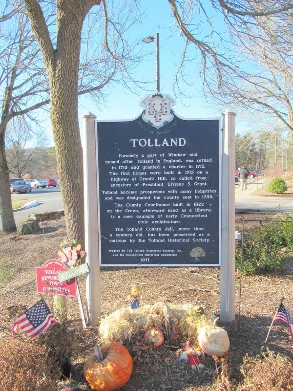
Photographed by Michael Herrick, December 21, 2017
2. Tolland Marker
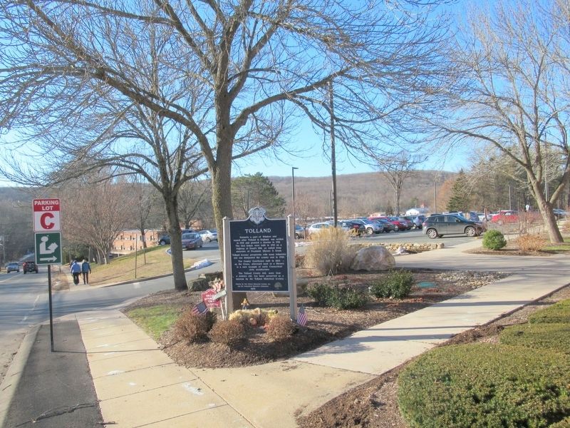
Photographed by Michael Herrick, December 21, 2017
3. Tolland Marker
Credits. This page was last revised on May 19, 2026. It was originally submitted on December 26, 2017, by Michael Herrick of Southbury, Connecticut. This page has been viewed 927 times since then and 119 times this year. Photos: 1, 2, 3. submitted on December 26, 2017, by Michael Herrick of Southbury, Connecticut.
