Mobridge in Walworth County, South Dakota — The American Midwest (Upper Plains)
"MO.Bridge"
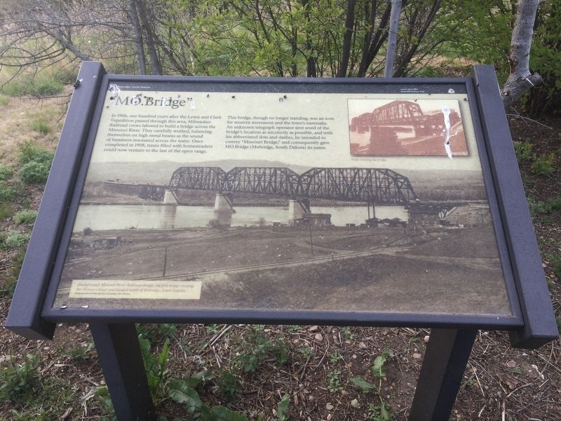
In 1906, one hundred years after the Lewis and Clark Expedition passed through this area, Milwaukee Railroad crews labored to build a bridge across the Missouri River. They carefully worked, balancing themselves on high metal beams as the sound of hammers resonated across the water. Once completed in 1905, trains filled with homesteaders could now venture to the last of the open range.
This bridge, though no longer standing, was an icon for western movement and the town's namesake. An unknown telegraph operator sent word of the bridge's location as succinctly as possible, and with his abbreviated dots and dashes, he intended to convey "Missouri Bridge," and consequently gave MO.Bridge (Mobridge, South Dakota) its name.
Background picture caption.
(background) Missouri River Railroad Bridge, the first bridge crossing the Missouri River was located north of Mobridge, South Dakota.
Inset picture caption.
Tram crossing the bridge.
Topics. This historical marker is listed in these topic lists: Bridges & Viaducts • Settlements & Settlers • Waterways & Vessels. A significant historical year for this entry is 1906.
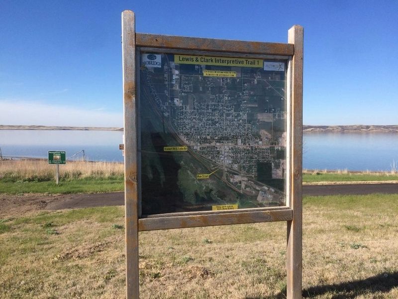
Location. 45° 33.022′ N, 100° 27.534′ W. Marker is in Mobridge, South Dakota, in Walworth County. Marker is on Lewis & Clark Interpretive Trail 1, 0.1 miles south of 20th Street W. Park at the corner of 20th Street W. and W. Railway Street. Walk down the trail .1 miles to the markers. Touch for map. Marker is in this post office area: Mobridge SD 57601, United States of America. Touch for directions.
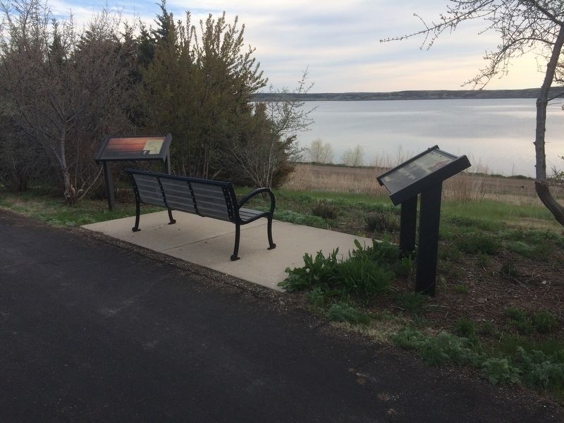
Other nearby markers. At least 8 other markers are within walking distance of this marker. History Beneath the Waters (here, next to this marker); "Fool Soldier Band" (approx. 0.4 miles away); Mobridge Bridge (approx. 0.4 miles away); Lewis & Clark (approx. 0.4 miles away); Pierre Choteau (approx. 0.4 miles away); Ensign Nathaniel Pryor (approx. 0.4 miles away); River of Hardship (approx. 0.4 miles away); Lewis & Clark meet the Arikaras (approx. 0.4 miles away). Touch for a list and map of all markers in Mobridge.
Credits. This page was last revised on January 1, 2018. It was originally submitted on January 1, 2018, by Ruth VanSteenwyk of Aberdeen, South Dakota. This page has been viewed 353 times since then and 23 times this year. Photos: 1, 2, 3. submitted on January 1, 2018, by Ruth VanSteenwyk of Aberdeen, South Dakota. • Bill Pfingsten was the editor who published this page.


