Mobridge in Walworth County, South Dakota — The American Midwest (Upper Plains)
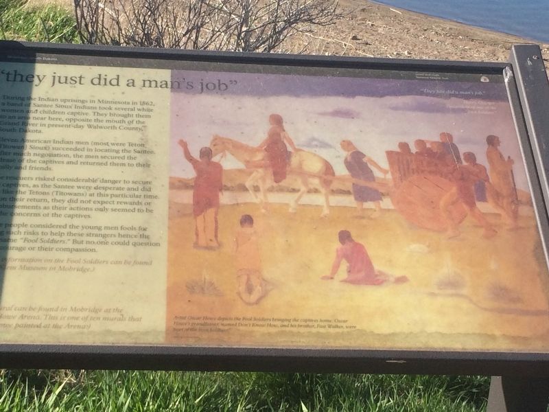
"they just did a man's job"
During the Indian uprisings in Minnesota in 1862, a band of Santee Sioux Indians took several white women and children captive. They brought them to an area near here, opposite the mouth of the Grand River in present-day Walworth County, South Dakota.
Eleven American Indian men (most were Teton [Tetowan] Sioux) succeeded in locating the Santee. After much negotiation, the men secured the release of the captives and returned them to their family and friends.
The rescuers risked considerable danger to secure the captives, as the Santee were desperate and did not like the Tetons (Titowans) at this particular time. Upon their return, they did not expect rewards or reimbursements as their actions only seemed to be the concerns of the captives.
Most people considered the young men fools for taking such risks to help these strangers hence the name "Fool Soldiers." But no one could question their courage or their compassion.
Picture Caption
Information on the Fool Soldiers can be found in Klein Museum in Mobridge.
This mural can be found in Mobridge at the Scherr-Howe Arena. This is one of ten murals that Oscar Howe painted at the Arena.
Artist Oscar Howe depicts the Fool Soldiers bringing the captives home. Oscar Howe's grandfather named Don't Know How, and his brother, Fast Walker, were part of the Fool Soldiers.
Erected by Lewis and Clark National Historic Trail.
Topics. This historical marker is listed in this topic list: Native Americans. A significant historical year for this entry is 1862.
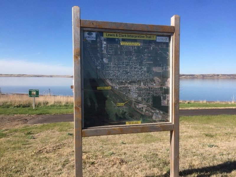
Location. 45° 32.102′ N, 100° 26.592′ W. Marker is in Mobridge, South Dakota, in Walworth County. Marker can be reached from Lewis & Clark Interpretive Trail 1, 0.6 miles north of Park Blvd.. Park in lot off Park Blvd. and walk .6 miles north on trail. Touch for map. Marker is in this post office area: Mobridge SD 57601, United States of America. Touch for directions.
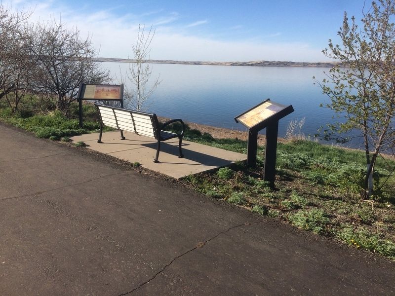
Other nearby markers. At least 8 other markers are within walking distance of this marker. "Sakakawea and Lewis & Clark" (here, next to this marker); Lewis and Clark Expedition (approx. 0.2 miles away); Honored Leaders (approx. 0.3 miles away); A Final Resting Place (approx. 0.3 miles away); Lewis and Clark/Mobridge (approx. half a mile away); "the track of the white bear" (approx. half a mile away); A Valuable Member of the Team (approx. half a mile away); Lewis & Clark meet the Arikaras (approx. 0.9 miles away). Touch for a list and map of all markers in Mobridge.
Additional keywords. Fool Soldiers
Credits. This page was last revised on January 2, 2018. It was originally submitted on January 1, 2018, by Ruth VanSteenwyk of Aberdeen, South Dakota. This page has been viewed 205 times since then and 10 times this year. Photos: 1, 2, 3. submitted on January 1, 2018, by Ruth VanSteenwyk of Aberdeen, South Dakota. • Bill Pfingsten was the editor who published this page.


