
American University Park in Northwest Washington in Washington, District of Columbia — The American Northeast (Mid-Atlantic)
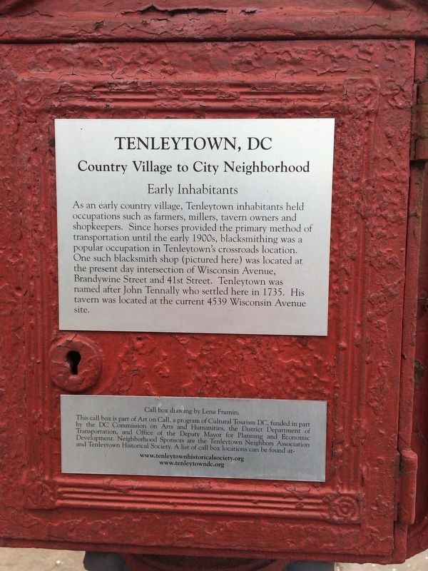
Early Inhabitants
Tenleytown, DC
| — | Country Village to City Neighborhood | — |
Erected by Cultural Tourism DC.
Topics and series. This historical marker is listed in these topic lists: Colonial Era • Industry & Commerce • Settlements & Settlers. In addition, it is included in the DC, Art on Call series list. A significant historical year for this entry is 1735.
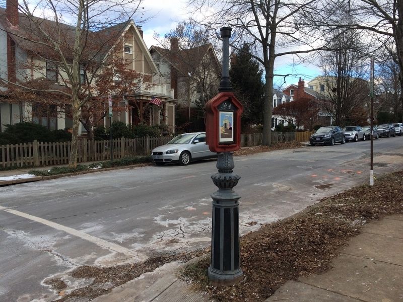
Location. 38° 56.978′ N, 77° 5.096′ W. Marker has been reported damaged. Marker is in Northwest Washington in Washington, District of Columbia. It is in American University Park. It is at the intersection of Brandywine Street Northwest and 43rd Place Northwest on Brandywine Street
this page online

Regionally, this marker is in the Washington Metropolitan Area. It is also in the American Northeast, in the Upper South, in the Mid-Atlantic, in the Tidewater, and in the Chesapeake Bay Region. Globally, it is in North America, the Western Hemisphere, the Western World, and the Anglosphere.
Other nearby markers. At least 8 other markers are within walking distance of this location: Early Commerce (about 300 feet away, measured in a direct line); Harry Country (about 700 feet away); Set in Stone (approx. 0.2 miles away); St. Columba's Episcopal Church Enslaved Labor Acknowledgement (approx. 0.2 miles away); A Spirit of Community (approx. 0.2 miles away); And the Church Goes on (approx. ¼ mile away); In Touch with the World (approx. ¼ mile away); Luis Alves de Lima e Silva (approx. ¼ mile away). Touch for a list and map of all markers in Northwest Washington.
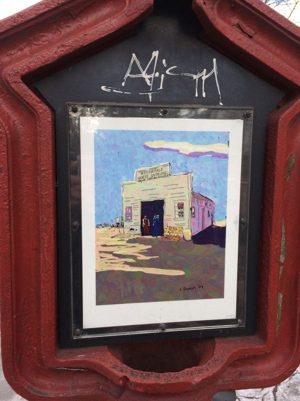
More about this marker. Image side of marker has graffiti damage
Credits. This page was last revised on January 30, 2023. It was originally submitted on January 1, 2018, by Devry Becker Jones of Washington, District of Columbia. This page has been viewed 605 times since then and 12 times this year. Photos: 1, 2, 3. submitted on January 1, 2018, by Devry Becker Jones of Washington, District of Columbia. • Bill Pfingsten was the editor who published this page.
