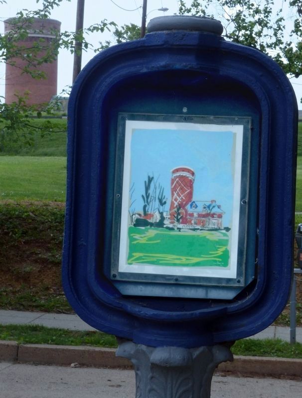
Tenleytown in Northwest Washington in Washington, District of Columbia — The American Northeast (Mid-Atlantic)
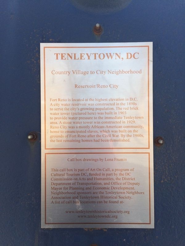
Reservoir / Reno City
Tenleytown, DC
— Country Village to City Neighborhood —
Erected by Cultural Tourism DC.
Topics and series. This historical marker is listed in these topic lists: African Americans • Charity & Public Work • Forts and Castles • Settlements & Settlers • War, US Civil. In addition, it is included in the DC, Art on Call, and the Defenses of Washington series lists. A significant historical year for this entry is 1890.
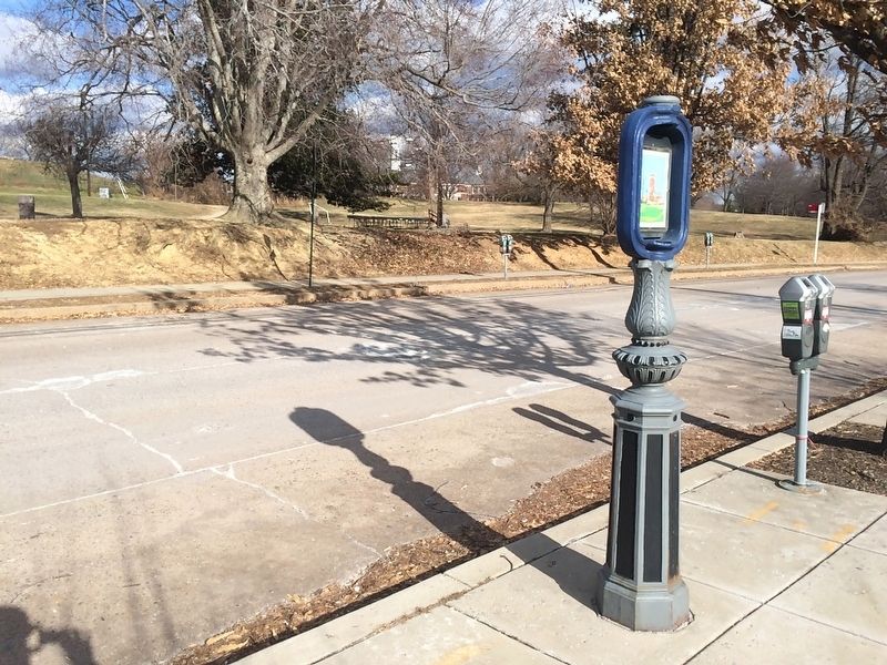
Location. 38° 57.041′ N, 77° 4.651′ W. Marker is in Northwest Washington in Washington, District of Columbia. It is in Tenleytown. Marker is on Chesapeake Street Northwest east of Fort Drive Northwest, on the right when traveling east. Touch for map. Marker is at or near this postal address: 3815 Chesapeake Street Northwest, Washington DC 20016, United States of America. Touch for directions.
Other nearby markers. At least 8 other markers are within walking distance of this marker. The Civil War Defenses of Washington (a few steps from this marker); Fort Reno (a few steps from this marker); a different marker also named Fort Reno (within shouting distance of this marker); Reno City (about 400 feet away, measured in a direct line); a different marker also named Fort Reno (about 500 feet away); a different marker also named Fort Reno (about 600 feet away); a different marker also named Fort Reno (about 700 feet away); Schools (about 800 feet away). Touch for a list and map of all markers in Northwest Washington.
Also see . . . Tenleytown Historical Society. (Submitted on January 2, 2018.)
Credits. This page was last revised on January 30, 2023. It was originally submitted on January 1, 2018, by Devry Becker Jones of Washington, District of Columbia. This page has been viewed 385 times since then and 26 times this year. Photos: 1. submitted on May 18, 2019, by Allen C. Browne of Silver Spring, Maryland. 2, 3. submitted on January 1, 2018, by Devry Becker Jones of Washington, District of Columbia. 4. submitted on May 18, 2019, by Allen C. Browne of Silver Spring, Maryland. • Bernard Fisher was the editor who published this page.


