
Palm Coast in Flagler County, Florida — The American South (South Atlantic)
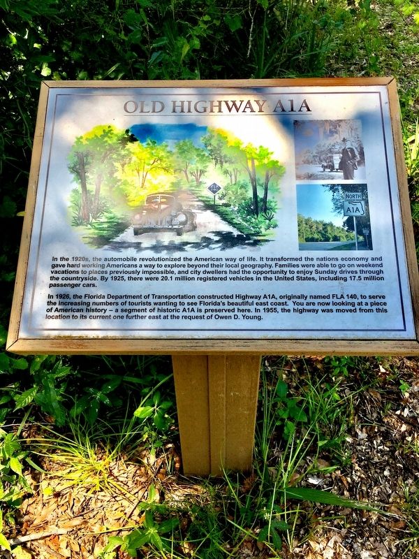
Old Highway A1A
Photographed by Brandon D Cross, August 16, 2017
1. Old Highway A1A Marker
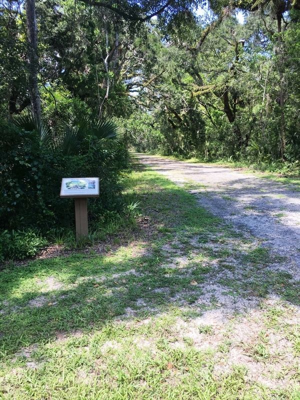
In 1926, the Florida Department of Transportation constructed Highway A1A, originally named FLA 140, to serve the increasing numbers of tourists wanting to see Florida’s beautiful east coast. You are now looking at a place of American history — a segment of historic A1A is preserved here. In 1955, the highway was moved from this location to its current one further east at the request of Owen D. Young.
Topics. This historical marker is listed in these topic lists: Industry & Commerce • Roads & Vehicles. A significant historical year for this entry is 1926.
Location. 29° 38.047′ N, 81° 12.501′ W. Marker is in Palm Coast, Florida, in Flagler County. It can be
this page online

Regionally, this marker is in Florida’s First Coast. It is also in the American South and on the Eastern Seaboard. Globally, it is in the North Atlantic Region, North America, a Gulf of Mexico state, the Western Hemisphere, the Western World, and the Anglosphere. Historically, it finds itself in what was once New Spain, the territory of the Mississippian Culture, one of the Confederate States of America, and the Antebellum South.
Other nearby markers. At least 8 other markers are within walking distance of this marker: The Citrus Groves (about 800 feet away, measured in a direct line); The Studio (approx. 0.2 miles away); Formal Gardens (approx. 0.2 miles away); Greenhouse (approx. 0.2 miles away); Mr. Young’s Office (approx. 0.2 miles away); Caretaker’s Residence (approx. 0.2 miles away); Coquina Columns (approx. ¼ mile away); Young Home (approx.
Photographed by Brandon D Cross, August 16, 2017
2. Old Highway A1A Marker
Photographed by Brandon D Cross
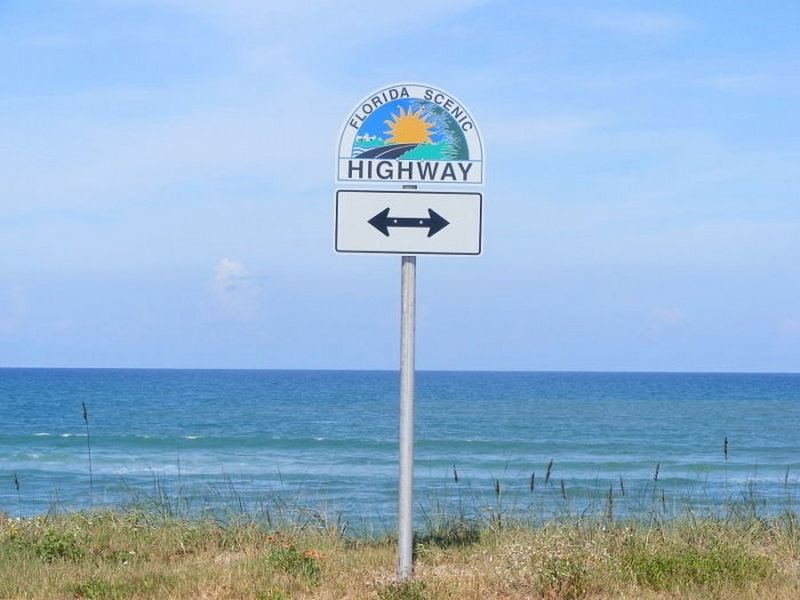
3. A1A Florida Scenic & Historic Byway
This designated section of State Road A1A begins at the northern boundary of St. Johns County then travels south 72 mies to the southern end of Flagler Beach in Flagler County.
Photographed by Brandon D Cross
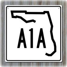
4. Florida A1A
Florida SR A1A, traveling north to south begins in Fernandina Beach and continues to Key West a, distance of over 500 miles
Credits. This page was last revised on January 3, 2018. It was originally submitted on January 2, 2018, by Brandon D Cross of Flagler Beach, Florida. This page has been viewed 1,935 times since then and 83 times this year. Photos: 1, 2, 3, 4. submitted on January 2, 2018, by Brandon D Cross of Flagler Beach, Florida. • Bernard Fisher was the editor who published this page.
