Columbus in Muscogee County, Georgia — The American South (South Atlantic)
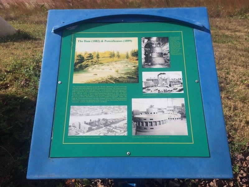
The Dam (1882) & Powerhouses (1899)
The Dam (1882) & Powerhouses (1899)
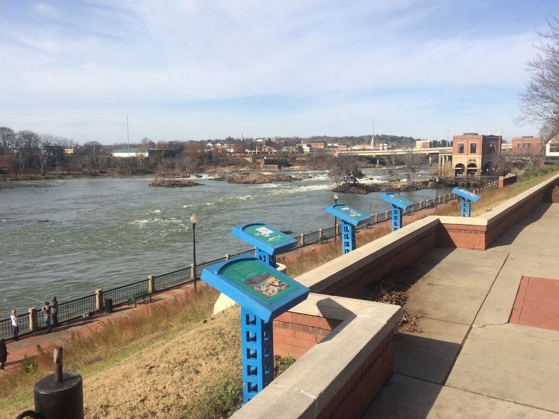
The Chattahoochee thunders across the fall line, dropping 125 feet in two and one half miles and producing 99,000 horsepower of energy, the largest potential waterpower site in the South until 1900. Local entrepeneurs built four textile mills, a gristmill, and a sawmill along the river between 12th and 14th Streets in the 1840s & 1850s. Union troops burned these factories in 1865. By 1876, William Young’s Eagle & Phenix Mills (the large buildings at the dam) dominated the city’s economy and ranked as the South’s largest textile mill. Today, the Eagle & Phenix powerhouses with their original turbines (1899) and generators (1908-1920) located just upstream of the River Club are functioning hydropower “museums” and are a National Historic Landmark.
Captions:
River water usually enters this turbine (1899) in the upper powerhouse. Water enters the turbine at the vents on the side, and the weight of the water as it falls through the turbine moves propeller-like vanes connected to the shaft that rotates the generator. (Historic American Engineering Records)
View of the Columbus riverfront looking north from the Dillingham Bridge, circa 1857, by an unknown artist.
Eagle and Phenix Mills No. 1 & No. 2, circa 1872
Eagle and Phenix Mills, 1943, before air conditioning
Electrical generators (1907 & 1914) in the upper powerhouse.
Topics. This historical marker is listed in these topic lists: Industry & Commerce • War, US Civil. A significant historical year for this entry is 1900.
Location. 32° 28.025′ N, 84° 59.762′ W. Marker is in Columbus, Georgia, in Muscogee County. Marker is on Bay Avenue north of 11th Street, on the left when traveling north. Touch for map. Marker is in this post office area: Columbus GA 31901, United States of America. Touch for directions.
Other nearby markers. At least 8 other markers are within walking distance of this marker. The Fall Line (here, next to this marker); Cotton Warehouses (here, next to this marker); The Creek Indians and the Falls (a few steps from this marker); The Ledger-Enquirer Newspapers (about 800 feet away, measured in a direct line); W. C. Bradley and Coca-Cola (approx. 0.2 miles away); City of Columbus (approx. 0.2 miles away); The Tie-Snake (approx. 0.2 miles away in Alabama); Nehi and Royal Crown Cola (approx. 0.2 miles away). Touch for a list and map of all markers in Columbus.
Credits. This page was last revised on January 4, 2018. It was originally submitted on January 4, 2018, by J. Makali Bruton of Accra, Ghana. This page has been viewed 217 times since then and 8 times this year. Photos: 1, 2. submitted on January 4, 2018, by J. Makali Bruton of Accra, Ghana.

