Fredericksburg, Virginia — The American South (Mid-Atlantic)
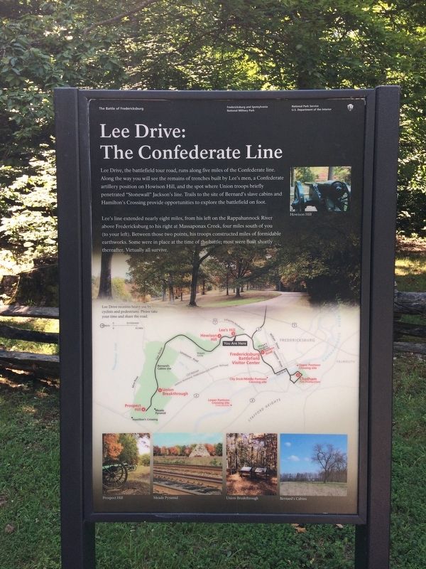
Lee Drive: The Confederate Line
The Battle of Fredericksburg
— Fredericksburg and Spotsylvania National Military Park —
Lee Drive, the battlefield tour road, runs along five miles of the Confederate line. Along the way you will see the remains of trenches built by Lee's men, a Confederate artillery position on Howison Hill, and the spot where union troops briefly penetrated "Stonewall" Jackson's line. Trails to the site of Bernard's slave cabins and Hamilton's Crossing provide opportunities to explore the battlefield on foot.
Lee's line extended nearly eight miles, from his left on the Rappahannock River above Fredericksburg to his right at Massaponax Creek, four miles south of you (to your left). Between those two points, his troops constructed miles of formidable earthworks. Some were in place at the time of the battle; most were built shortly thereafter. Virtually all survive.
(captions)
(map) Lee drive receives heavy use by cyclists and pedestrians. Please take your time and share the road.
(top) Howison Hill
(bottom) Prospect Hill
Meade Pyramid
Union Breakthrough
Bernard's Cabins
Erected by National Park Service, U.S. Department of the Interior.
Topics. This historical marker is listed in these topic lists: Military • War, US Civil.
Location. 38° 17.137′ N, 77° 28.498′ W. Marker is in Fredericksburg, Virginia. Marker is on Lee Drive, 0.2 miles south of Lafayette Boulevard, on the right when traveling south. Marker is located at Lee's Hill - Auto Tour Stop 2 on the Fredericksburg Battlefield Driving Tour Route. Touch for map. Marker is in this post office area: Fredericksburg VA 22401, United States of America. Touch for directions.
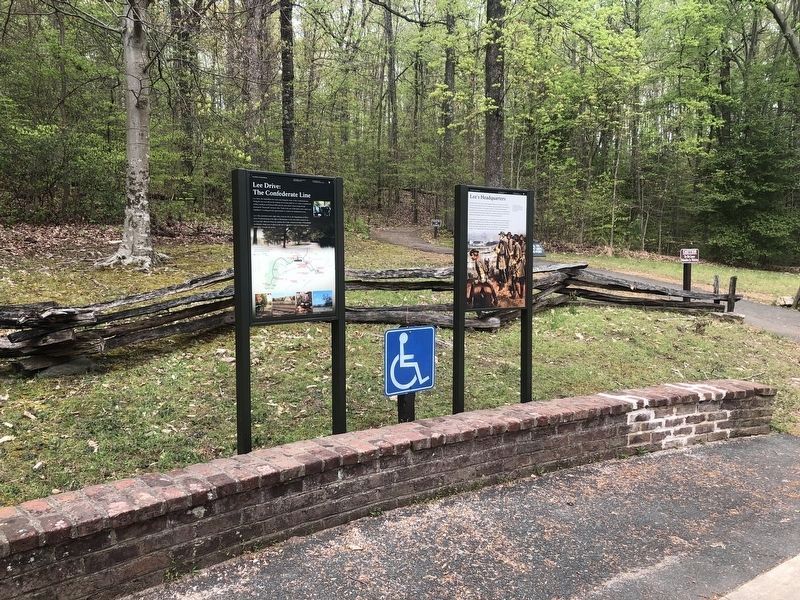
Other nearby markers. At least 8 other markers are within walking distance of this marker. Lee's Headquarters (a few steps from this marker); Lee's Command Post (about 400 feet away, measured in a direct line); Near Disaster (about 400 feet away); The Battle of Fredericksburg from Lee's Hill, December, 1862 (about 400 feet away); The Pioneers (about 400 feet away); The Second Battle of Fredericksburg (about 400 feet away); Artillery on Lee's Hill (about 400 feet away); Lee's Hill, the commander's lookout (about 500 feet away). Touch for a list and map of all markers in Fredericksburg.
Also see . . . Fredericksburg & Spotsylvania National Military Park. National Park Service (Submitted on January 6, 2018.)
Credits. This page was last revised on February 2, 2023. It was originally submitted on January 5, 2018, by Shane Oliver of Richmond, Virginia. This page has been viewed 442 times since then and 77 times this year. Photos: 1. submitted on January 5, 2018, by Shane Oliver of Richmond, Virginia. 2. submitted on April 12, 2020, by Devry Becker Jones of Washington, District of Columbia. • Bernard Fisher was the editor who published this page.

