Near Rhododendron in Clackamas County, Oregon — The American West (Northwest)
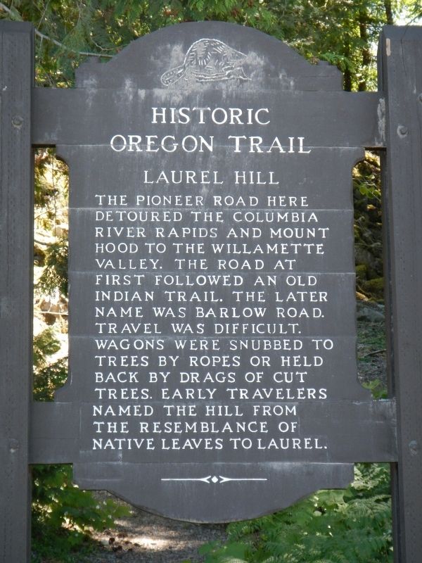
Laurel Hill
Historic Oregon Trail.
Erected by Oregon Department of Transportation.
Topics and series. This historical marker is listed in these topic lists: Roads & Vehicles • Settlements & Settlers. In addition, it is included in the Oregon Beaver Boards, and the Oregon Trail series lists.
Location. 45° 18.677′ N, 121° 48.074′ W. Marker is near Rhododendron, Oregon, in Clackamas County. Marker is on Mt. Hood Highway (U.S. 26), on the left when traveling west. Touch for map. Marker is in this post office area: Rhododendron OR 97049, United States of America. Touch for directions.
Other nearby markers. At least 8 other markers are within 6 miles of this marker, measured as the crow flies. Government Camp (approx. 2.2 miles away); a different marker also named Government Camp (approx. 2.4 miles away); Samuel Kimbrough Barlow (approx. 2.4 miles away); "Sumate Prairie" (approx. 3.6 miles away); Timberline Lodge (approx. 4.6 miles away); A Final Rest (approx. 5.3 miles away); The Oregon Trail (approx. 5˝ miles away); "Disparite Bad Beyond Discription" (approx. 6 miles away).
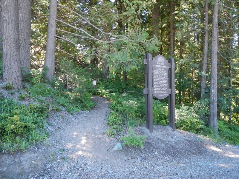
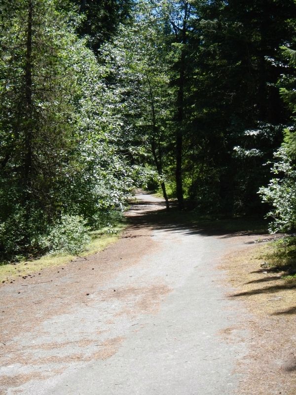
Regarding Laurel Hill. A trail behind the marker leads to a section of the old Barlow Road.
Credits. This page was last revised on January 14, 2021. It was originally submitted on January 7, 2018, by Barry Swackhamer of Brentwood, California. This page has been viewed 1,028 times since then and 509 times this year. Photos: 1, 2, 3. submitted on January 7, 2018, by Barry Swackhamer of Brentwood, California.


