White Hall in Lowndes County, Alabama — The American South (East South Central)
Day Two
Selma to Montgomery National Historic Trail
| — | National Park Service, U.S. Department of the Interior | — |
Photographed by Mark Hilton, January 6, 2018
1. Day Two Marker
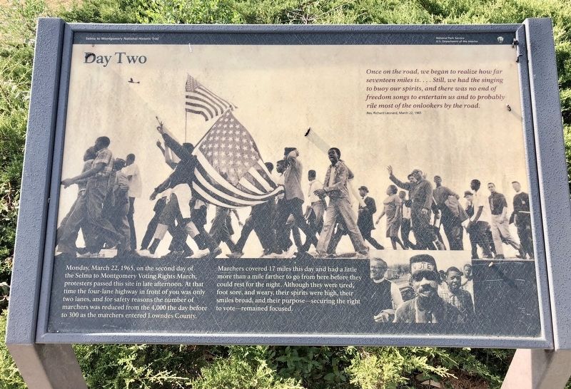
Monday, March 22, 1965, on the second day of the Selma to Montgomery Voting Rights March, protesters passed this site in late afternoon. At that time the four-lane highway in front of you was only two lanes, and for safety reasons the number of marchers was reduced from 4,000 the day before to 300 as the marchers entered Lowndes County.
Marchers covered 17 miles this day and had a little more than a mile farther to go from here before they could rest for the night. Although they were tired, foot sore, and weary, their spirits were high, their smiles broad, and their purpose—securing the right to vote—remained focused.
Once on the road, we began to realize how far seventeen miles is.... Still, we had the singing to buoy our spirits, and there was no end of freedom songs to entertain us and to probably rile most of the onlookers by the road.
Rev. Richard Leonard, March 22, 1965
Erected 2015 by National Park Service, U.S. Department of the Interior.
Topics. This historical marker is listed in these topic lists: African Americans • Civil Rights. A significant historical date for this entry is March 22, 1965.
Location. 32° 16.204′ N, 86° 43.628′ W.
this page online

Regionally, this marker is in the Tri-Counties River Region. It is also in the American South, specifically in the Deep South, and in the Black Belt. Globally, it is in North America, a Gulf of Mexico state, the Western Hemisphere, the Western World, and the Anglosphere. Historically, it finds itself in what was once the territory of the Mississippian Culture, one of the Confederate States of America, and the Antebellum South.
Other nearby markers. At least 8 other markers are within 2 miles of this marker, measured as the crow flies: Marchers, Supporters, Hecklers (a few steps from this marker); You Gotta Move (within shouting distance of this marker); No Isolated Incident (within shouting distance of this marker); A Price Paid (within shouting distance of this marker); After the March—Tent City (about 300
Photographed by Mark Hilton, January 6, 2018
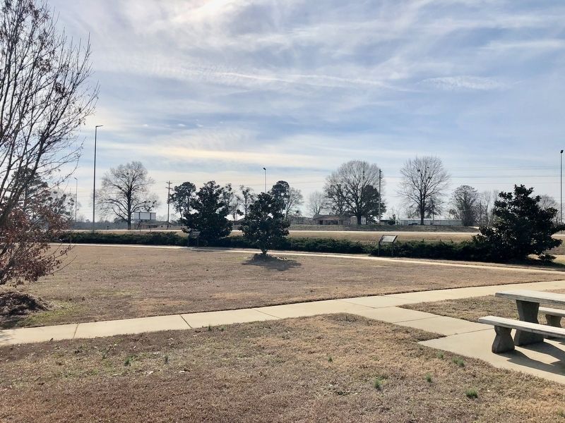
2. Marker can be seen on right along row of bushes.
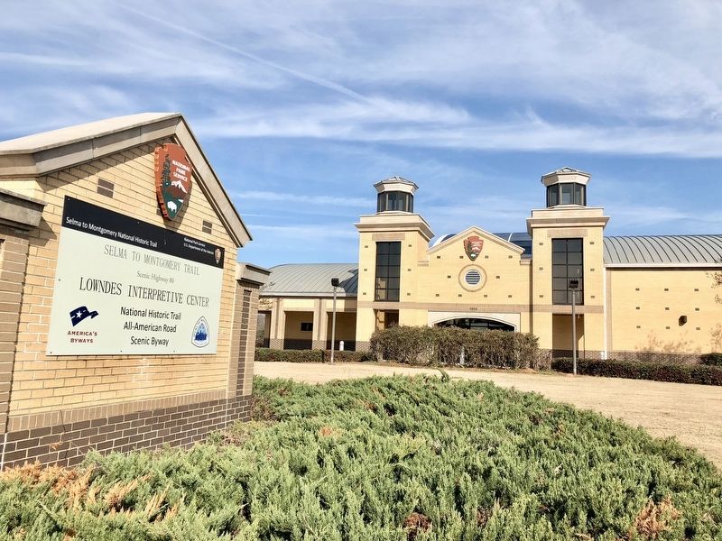
Regarding Day Two. This National Park Service site is dedicated to those who peacefully marched 54 miles from Selma to the state capitol of Montgomery in order to gain the right to vote. This significant contribution to the trail serves as a reservoir of information about the unfortunate, yet significant, events that occurred in Lowndes County during the march. The museum exhibits interpret various events, including the confrontation of seminarian Jonathan Daniels; the slaying of Viola Liuzzo, a white woman who assisted the marchers by transporting them to Selma; and the establishment of Tent City, made up of temporary dwellings filled with cots, heaters, food and water that benefited families dislodged by white landowners in Lowndes County.
The $10 million structure was made possible through collaborative efforts between the National Park Service, the Federal Highway Administration and the
Photographed by Mark Hilton, January 6, 2018
3. The National Park Service Lowndes Interpretive Center.
Photographed by Mark Hilton, January 6, 2018
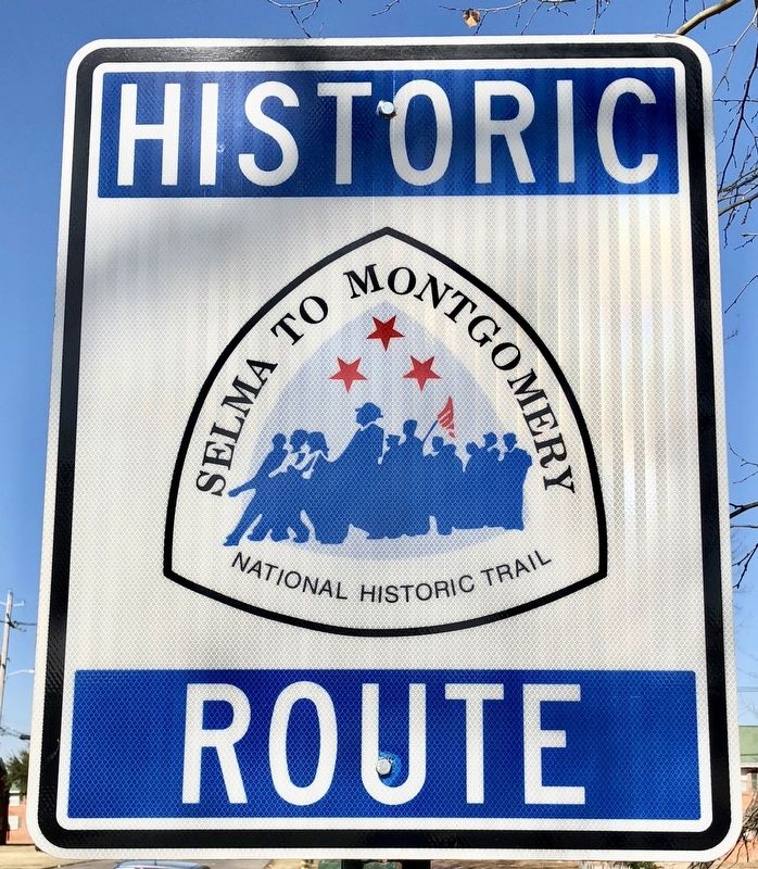
4. One of many trail signs marking the route of the march.
Credits. This page was last revised on May 10, 2026. It was originally submitted on January 7, 2018, by Mark Hilton of Montgomery, Alabama. This page has been viewed 691 times since then and 27 times this year. Photos: 1, 2, 3, 4. submitted on January 7, 2018, by Mark Hilton of Montgomery, Alabama.
