Cleveland Park in Northwest Washington in Washington, District of Columbia — The American Northeast (Mid-Atlantic)
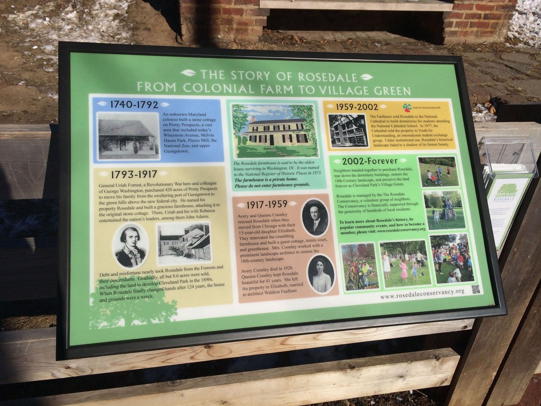
The Story of Rosedale
From Colonial Farm to Village Green
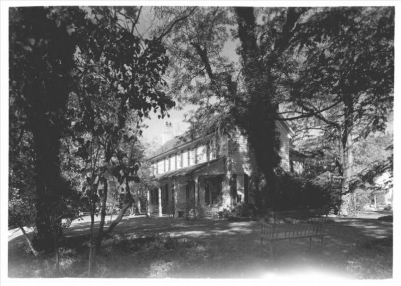
The Rosedale farmhouse is said to be the oldest house surviving in Washington, DC. It was named to the National Register of Historic Places in 1973.
The farmhouse is a private home.
Please do not enter farmhouse grounds.
1740-1792
An unknown Maryland colonist built a stone cottage on Pretty Prospects, a vast area that included today's Wisconsin Avenue, Melvin Hazen Park, Pierce Mill, the National Zoo, and upper Georgetown.
1793-1917
General Uriah Forrest, a Revolutionary War hero and colleague of George Washington, purchased 420 acres of Pretty Prospects to move his family from the sweltering port of Georgetown to the green hills above the new federal city. He named his property Rosedale and built a gracious farmhouse, attaching it to the original stone cottage. There, Uriah and his wife Rebecca entertained the nation's leaders, among them John Adams.
Debt and misfortune nearly took Rosedale from the Forrests and their descendants. Gradually, all but 8.6 acres were sold, including the land to develop Cleveland Park in the 1890s. When Rosedale finally changed hands after 124 years, the house and grounds were a wreck.
1917-1959
Avery and Queene Coonley rescued Rosedale when they moved from Chicago with their 15-year-old daughter Elizabeth. They renovated the crumbling farmhouse and built a guest cottage, tennis court, and greenhouse. Mrs. Coonley worked with a prominent landscape architect to restore the 18th-century landscape.
Avery Coonley died in 1920. Queene Coonley kept Rosedale beautiful for 41 years. She left the property to Elizabeth, married to architect Waldron Faulkner.
1959-2002 Youth for Understanding USA
The Faulkners sold Rosedale to the National Cathedral to build dormitories for students attending the National Cathedral School. In 1977, the Cathedral sold the property to Youth for Understanding, and international student exchange group. Under institutional use, Rosedale's historical landscape faded to a shadow of its former beauty.
2002-Forever
Neighbors banded together to purchase Rosedale, tear down the dormitory buildings, restore the 18th-Century landscape, preserve the land forever as Cleveland Park's Village Green.
Rosedale is managed by The Rosedale Conservancy, a volunteer group of neighbors. The Conservancy is financially supported through the generosity of hundreds of local residents.
Erected by The Rosedale Conservancy.
Topics and series. This historical marker is listed in these topic lists: Architecture • Churches & Religion
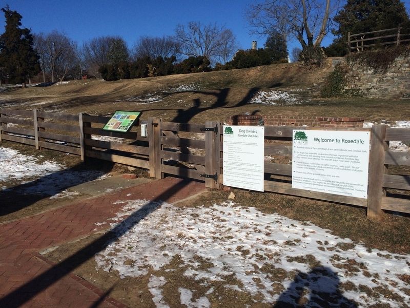
Location. 38° 56.083′ N, 77° 4.123′ W. Marker is in Northwest Washington in Washington, District of Columbia. It is in Cleveland Park. Marker is at the intersection of Newark Street Northwest and 35th Street Northwest, on the right when traveling west on Newark Street Northwest. Touch for map. Marker is at or near this postal address: 3501 Newark Street Northwest, Washington DC 20016, United States of America. Touch for directions.
Other nearby markers. At least 8 other markers are within walking distance of this marker. Site of Red Top (about 400 feet away, measured in a direct line); Rosedale (about 700 feet away); Map (approx. 0.2 miles away); Early Fire Fighting (approx. 0.2 miles away); Washington National Cathedral (approx. ¼ mile away); Cathedral Heights Business District (approx. ¼ mile away); Landscape (approx. ¼ mile away); Flower (approx. ¼ mile away). Touch for a list and map of all markers in Northwest Washington.
Also see . . .
1. The Rosedale Conservancy. Conservancy website homepage (Submitted on January 7, 2018, by Devry Becker Jones of Washington, District of Columbia.)

via NPS, unknown
3. Rosedale
NPGallery Digital Asset Management System website entry
Click for more information.
Click for more information.
2. Rosedale (Washington, D.C.). Wikipedia entry (Submitted on February 12, 2018, by Devry Becker Jones of Washington, District of Columbia.)
Credits. This page was last revised on January 30, 2023. It was originally submitted on January 7, 2018, by Devry Becker Jones of Washington, District of Columbia. This page has been viewed 610 times since then and 76 times this year. Photos: 1, 2. submitted on January 7, 2018, by Devry Becker Jones of Washington, District of Columbia. 3. submitted on January 12, 2022, by Larry Gertner of New York, New York. • Bill Pfingsten was the editor who published this page.

