Oak Ridge in Anderson County, Tennessee — The American South (East South Central)
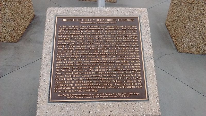
The Birth of the City of Oak Ridge, Tennessee
Transformation of Municipal Services
Inscription.
In 1948, the Atomic Energy Commission (AEC) assigned the task of transforming the “Secret City” into an incorporated city to Frederick W. “Fred” Ford, the AEC’s new Community Affairs Director. In addition to managing the city’s day-to-day operations, Fred was responsible for the “steps involved in the eventual transfer of Oak Ridge from a government-owned to a normal, self-governed municipality”. To develop a Master Plan he contracted with the Corps of Engineers, Skidmore, Owings, & Merrill, and the Tennessee Valley Authority. Over the next 12 years, he and his staff sponsored 48 consulting contracts for planning the various municipal services and functions of the future city. In 1948, the utility departments initiated programs to annually upgrade the wartime electrical, water, and sewer systems. Street lighting, automatic fire-alarm circuits, and sprinkler systems for major buildings were installed. Gas and heating oil were brought in to eliminate the sooty, soft-coal inversion layers that hung over the town on winter mornings. Despite some protests from renters, water and electric meters were installed in each home. Perhaps most welcome to residents tired of all the mud, were the annual improvements of paving and widening the streets and roads, and adding curbs, gutters, and sidewalks. The first new
road project, in 1950, called for by the Master Plan was Lafayette Drive, a divided highway linking the Turnpike and Kerr Hollow Road. The second was South Illinois Avenue connecting the Turnpike to Scarboro Road. The third and fourth were new Tulane and Rutgers Avenues. In 1958, the AEC completed its last building project – the Municipal Building, to house all new city departments. These farsighted actions spanning 13 years provided the municipal services that together with new housing, schools, and the hospital, paved the way for the new City of Oak Ridge.
This fourth marker was produced, in part, with funding from the City of Oak Ridge and the Preserve American Grant Program, National Park Service.
Erected by The City of Oak Ridge and The National Park Service.
Topics. This historical marker is listed in these topic lists: Charity & Public Work • Roads & Vehicles. A significant historical year for this entry is 1948.
Location. 36° 0.741′ N, 84° 15.478′ W. Marker is in Oak Ridge, Tennessee, in Anderson County. Marker is on South Tulane Avenue, on the right when traveling south. Marker is in front of the City of Oak Ridge Municipal Building. Touch for map. Marker is at or near this postal address: 200 South Tulane Avenue, Oak Ridge TN 37830, United States of America. Touch for directions.
Other nearby markers. At least 8 other markers are within walking distance of this marker. A different marker also named The Birth of the City of Oak Ridge, Tennessee
(here, next to this marker); a different marker also named The Birth of the City of Oak Ridge, Tennessee (here, next to this marker); a different marker also named The Birth of the City of Oak Ridge, Tennessee (here, next to this marker); Dedicated to the Memory of Those from Oak Ridge Who Gave Their Lives That Freedom Might Live (here, next to this marker); Violent Clashes (within shouting distance of this marker); 1944 (about 500 feet away, measured in a direct line); K-25 – The Gaseous Diffusion Plant (about 500 feet away); Oak Ridge Hospital (about 500 feet away). Touch for a list and map of all markers in Oak Ridge.
Related markers. Click here for a list of markers that are related to this marker.
Credits. This page was last revised on January 10, 2018. It was originally submitted on January 10, 2018, by Tom Bosse of Jefferson City, Tennessee. This page has been viewed 337 times since then and 32 times this year. Photos: 1, 2. submitted on January 10, 2018, by Tom Bosse of Jefferson City, Tennessee. • Bill Pfingsten was the editor who published this page.

