
Cahaba in Dallas County, Alabama — The American South (East South Central)
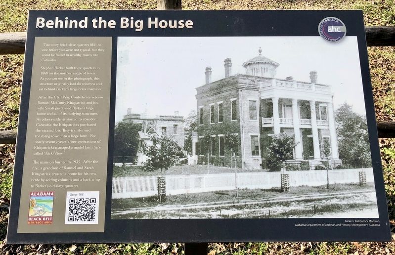
Behind the Big House
Photographed by Mark Hilton, January 6, 2018
1. Behind the Big House Marker
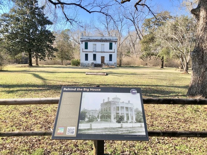
Stephen Barker built these quarters in 1860 on the northern edge of town. As you can see in the photograph, this structure originally had no columns and sat behind Barker's large brick mansion.
After the Civil War, Confederate veteran Samuel McCurdy Kirkpatrick and his wife Sarah purchased Barker's large home and all of its outlying structures. As other residents started to abandon Cahawba, the Kirkpatricks purchased the vacated lots. They transformed the dying town into a large farm. For nearly seventy years, three generations of Kirkpatricks managed a model farm here called "Kirk-View."
The mansion burned in 1935. After the fire, a grandson of Samuel and Sarah Kirkpatrick created a home for his new bride by adding columns and a back wing to Barker's old slave quarters.
Erected 2015 by the Alabama Historical Commission.
Topics and series. This historical marker is listed in these topic lists: Notable Buildings • War, US Civil.
this page online
Location. This marker has been replaced by another marker nearby. It was located near 32° 19.427′ N, 87° 5.875′ W. Marker was in Cahaba, Alabama, in Dallas County. It was on Oak Street north of Fifth North Street, on the left when traveling north. Located within the Cahawba Archaeological Park (nominal fee required). Touch for map. Marker was at or near this postal address: Oak Street, Orrville AL 36767, United States of America. Touch for directions.

Regionally, this marker was in the American South, specifically in the Deep South, and in the Black Belt. Globally, it was in North America, a Gulf of Mexico state, the Western Hemisphere, the Western World, and the Anglosphere. Historically, it found itself in what was once New Spain, the territory of the Mississippian Culture, one of the Confederate States of America, and the Antebellum South.
Other nearby markers. At least 8 other markers are within walking distance of this location: A different marker also named Behind the Big House (here, next
Photographed by Mark Hilton, January 6, 2018
2. Former slave quarters.
Other markers no longer nearby. The Duke of Cahaba (was a few steps from this marker but has been replaced with another marker now near it); Kirk-View Farm (was within shouting distance of this marker but has been permanently removed); The Old Brick Store (was approx. 0.3 miles away but has been permanently removed); Crocheron's Row (was approx. 0.3 miles away but has been permanently removed).
More about this marker. This marker was replaced by a newer marker, with the same title and some of the same text.
Regarding Behind the Big House. In 1866, shortly after the Civil War and a severe flood, the county seat was moved from Cahaba to Selma. Residents
Photographed by Mark Hilton, January 6, 2018
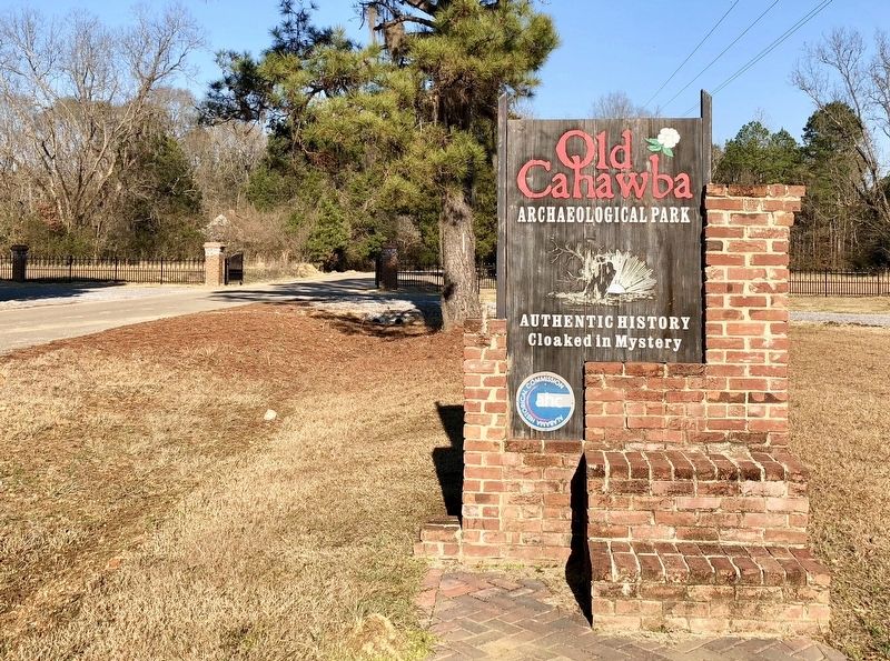
3. Entrance sign to the Cahawba Archaeological Park.
Despite this trend, returning Confederate veteran Samuel McCurdy Kirkpatrick and his wife Sarah purchased a large brick house and outlying structures here on the northern edge of town. They acquired many of the vacated town lots and consolidated them into a large farm. For nearly seventy years, three generations of Kirkpatricks managed a model farm here called "Kirk-View."
The Kirkpatrick home burned in 1935. The structure you see today was one of two located behind the house and was originally constructed as slave quarters.
Credits. This page was last revised on June 2, 2020. It was originally submitted on January 10, 2018, by Mark Hilton of Montgomery, Alabama. This page has been viewed 1,036 times since then and 36 times this year. Photos: 1, 2, 3. submitted on January 10, 2018, by Mark Hilton of Montgomery, Alabama.
