
Tygh Valley in Wasco County, Oregon — The American West (Northwest)
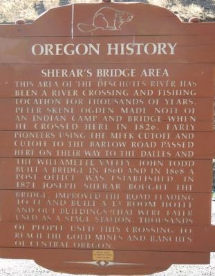
Sherar's Bridge Area
Photographed by Barry Swackhamer, July 3, 2017
1. Sherar's Bridge Area Marker
Erected by Oregon Department of Transportation.
Topics and series. This historical marker is listed in these topic lists: Industry & Commerce • Roads & Vehicles • Settlements & Settlers. In addition, it is included in the Oregon Beaver Boards series list.
Location. 45° 15.648′ N, 121° 2.238′ W. Marker is in Tygh Valley, Oregon, in Wasco County. It is on Sherar's Bridge Highway (Oregon Route 216) near U.S. 197, on the right when traveling east.
this page online

Regionally, this marker is in Oregon’s Columbia River Gorge. It is also on the American Pacific Coast, in the Pacific Northwest, and in the Lewis & Clark Corridor. Globally, it is in North America, the Cascade Range, the Pacific Rim, the Western Hemisphere, the Western World, and the Anglosphere.
Other nearby markers. At least 2 other markers are within 14 miles of this marker, measured as the crow flies: Tygh Valley (approx. 7.4 miles away); Schreiber Log House (approx. 14 miles away).
More about this marker. The Sherar's Bridge is about 8 miles east of Tygh Valley.
Photographed by Barry Swackhamer, July 3, 2017
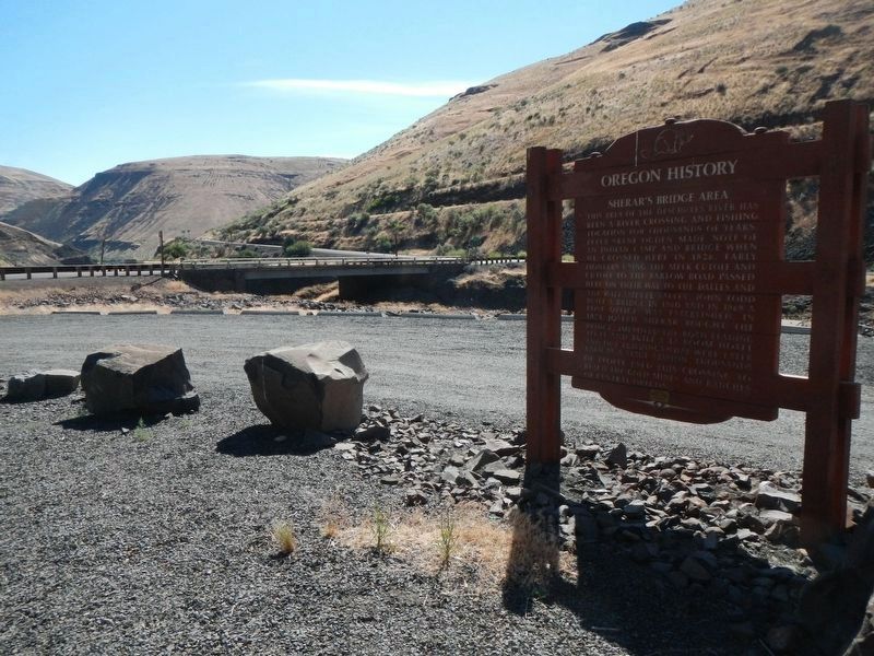
2. Sherar's Bridge and Marker
Photographed by Barry Swackhamer, July 3, 2017
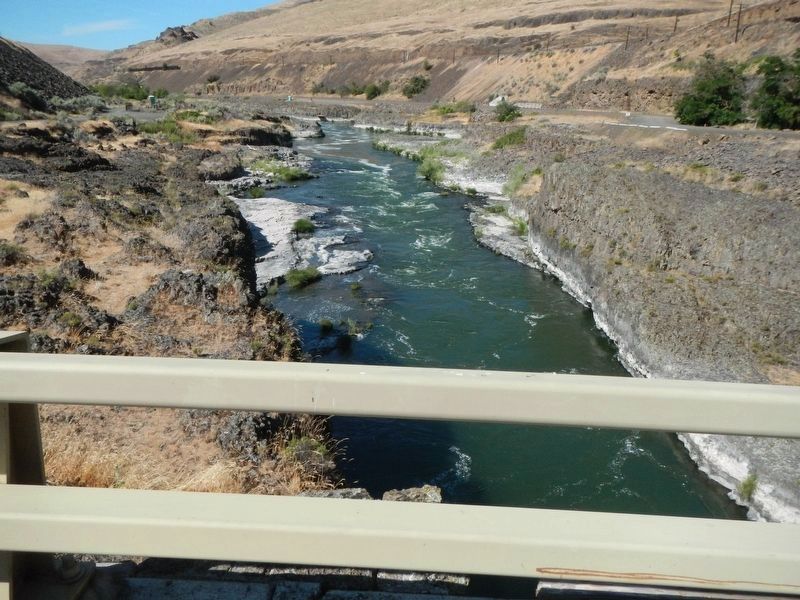
3. The Deschutes River from Sherar's Bridge
Photographed by Barry Swackhamer, July 3, 2017
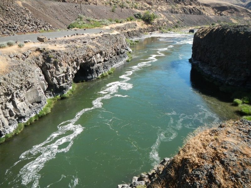
4. Deschutes River
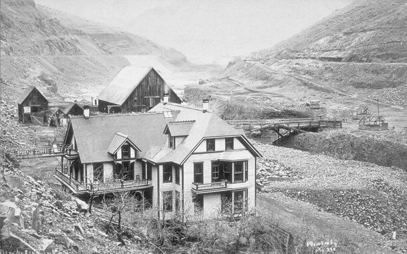
Oregon Historical Society
5. Sherar's Hotel and Toll-bridge
Credits. This page was last revised on October 20, 2020. It was originally submitted on January 11, 2018, by Barry Swackhamer of Brentwood, California. This page has been viewed 1,052 times since then and 72 times this year. Photos: 1, 2, 3, 4, 5. submitted on January 11, 2018, by Barry Swackhamer of Brentwood, California.
