Ashland Creek
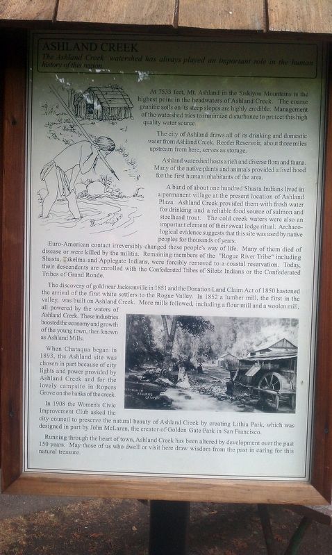
The Ashland Creek watershed has always played and important role in the human history of this region
The city of Ashland draws all of its drinking and domestic water from Ashland Creek. Reeder Reservoir, about three miles upstream from here, serves as storage.
Ashland watershed hosts a rich and diverse flora and fauna. Many of the native plants and animals provided a livelihood for the first human inhabitants of the area.
A band of about one hundred Shasta Indians lived in a permanent village at the present location of Ashland Plaza. Ashland Creek provided them with fresh water for drinking and a reliable food source of salmon and steelhead trout. The cold creek water were also an important element of their sweat lodge ritual. Archaeological evidence suggests that this site was used by native peoples for thousands of years.
Euro-American contact irreversibly changed these people's way of life. Many of them died of disease or were killed by the militia. Remaining members of the "Rogue River Tribe" including Shasta, Takelma, and Applegate Indians, were forcibly removed to a coastal reservation. Today, their descendants are enrolled with
the Confederated Tribes of Siletz Indians or the Confederated Tribes of Grand Ronde.The discovery of gold near Jacksonville in 1851 and the Donation Land Claim Act of 1850 hastened the arrival of the first white settlers to the Rogue Valley. In 1852 a lumber mill, the first in the valley, was built in Ashland Creek. More mills followed, including a flour mill and a woolen mill, all powered by the waters of Ashland Creek. These industries boosted the economy and growth of the young town, then known as Ashland Mills.
When Chataqua began in 1893, the Ashland site was chosen in part because of city lights and power provided Ashland Creek and for the lovely campsite in Ropers Grove on the banks of the creek.
In 1908 the Women's Civic Improvement Club asked the city council to preserve the natural beauty of Ashland Creek by creating Lithia Park, which was designed in part by John McLaren, the creator of Golden Gate Park in San Francisco.
Running through the heart of town, Ashland Creek has been altered by development over the past 150 years. May those of us who dwell or visit here draw wisdom from the past in caring for this natural treasure.
Erected by City of Ashland.
Topics. This historical marker is listed in these topic lists: Charity & Public Work • Native Americans
Location. 42° 11.857′ N, 122° 42.973′ W. Marker is in Ashland, Oregon, in Jackson County. Marker can be reached from Granite Street. Touch for map. Marker is in this post office area: Ashland OR 97520, United States of America. Touch for directions.
Other nearby markers. At least 8 other markers are within walking distance of this marker. Ashland Lithia Water (about 300 feet away, measured in a direct line); Site of Old Ashland Mill (about 500 feet away); Welcome to Lithia Park (about 500 feet away); The Whittle Garage (about 500 feet away); McCall Magnolia (about 600 feet away); Citizens Banking and Trust Company (approx. ¼ mile away); Enders Building No. 1, 1914 (approx. ¼ mile away); Applegate Trail - Ashland Creek (approx. 0.4 miles away). Touch for a list and map of all markers in Ashland.
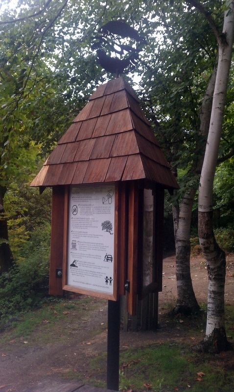
More about this marker. Marker is located in a kiosk along a dirt trail along Ashland Creek.
Credits. This page was last revised on January 15, 2018. It was originally submitted on January 11, 2018, by Douglass Halvorsen of Klamath Falls, Oregon. This page has been viewed 215 times since then and 7 times this year. Photos: 1, 2. submitted on January 11, 2018, by Douglass Halvorsen of Klamath Falls, Oregon. • Bill Pfingsten was the editor who published this page.

