Near Gold Hill in Jackson County, Oregon — The American West (Northwest)
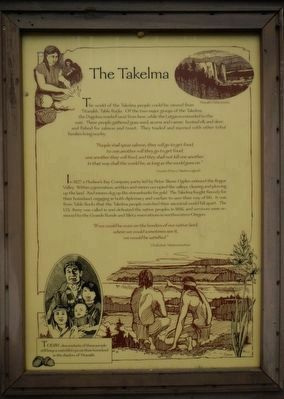
The Takelma
Inscription.
The world of the Takelma people could be viewed from Titanakh, Table Rocks. Of the two major groups of the Takelma, the Dagelma resided west from here, while the Latgawa extended to the east. These people gathered grass seed, acorns and camas; hunted elk and deer; and fished for salmon and trout. They traded and married with other tribal families living nearby.
“People shall spear salmon, they will go to get food, to one another will they go to get food; one another they will feed, and they shall not kill one another. In that way shall the world be, as long as the world goes on.” Coyote (From a Takelma Legend)
In 1827 a Hudson’s Bay Company party led by Peter Skene Ogden entered the Rogue Valley. Within a generation, settlers and miners occupied the valleys, clearing and plowing up the land. And miners dug up the streambanks for gold. The Takelma fought fiercely for their homeland, engaging in both diplomacy and warfare to save their way of life. It was from Table Rocks that Takelama people watched their ancestral world fall apart. The U.S. Army was called in and defeated the native peoples in 1856, and survivors were removed to the Grande Ronde and Siletz reservations in northwestern Oregon.
“If we could be even on the borders of our native land, where we could sometimes see it, we would be satisfied.” Cholcultah, Takelma headman
Today, descendants of these people still keep a watchful eye on their homeland in the shadow of Titanakh.
Topics. This historical marker is listed in this topic list: Native Americans.
Location. 42° 27.408′ N, 123° 1.788′ W. Marker is near Gold Hill, Oregon, in Jackson County. Marker is on Rogue-Umpqua Scenic Highway (Oregon Route 234), on the left when traveling west. Touch for map. Marker is at or near this postal address: 12822 Rogue-Umpqua Scenic Highway, Gold Hill OR 97525, United States of America. Touch for directions.
Other nearby markers. At least 8 other markers are within 4 miles of this marker, measured as the crow flies. The Lure of Gold (a few steps from this marker); The Salmon Ceremony at Ti'lomikh Falls (approx. 1.1 miles away); a different marker also named The Salmon Ceremony at Ti'lomikh Falls (approx. 1.1 miles away); City of Gold Hill (approx. 2 miles away); Dardanelles (approx. 2.4 miles away); Safety Follows Wisdom (approx. 3.2 miles away); Rock Point Bridge (approx. 3˝ miles away); Rock Point Hotel (approx. 3.6 miles away). Touch for a list and map of all markers in Gold Hill.
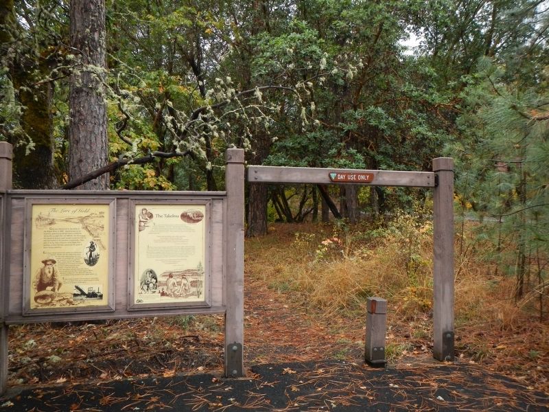
More about this marker. The marker is at the Gold Nugget Recreation Area parking lot.
Credits. This page was last revised on January 13, 2018. It was originally submitted on January 13, 2018, by Barry Swackhamer of Brentwood, California. This page has been viewed 263 times since then and 20 times this year. Photos: 1, 2. submitted on January 13, 2018, by Barry Swackhamer of Brentwood, California.

