Sheridan-Kalorama in Northwest Washington in Washington, District of Columbia — The American Northeast (Mid-Atlantic)
History of Sheridan-Kalorama
Sheridan Kalorama
— Call Box Restoration Project —
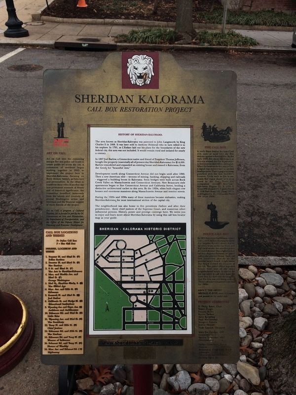
The area known as Sheridan-Kalorama was patented to John Langsworth by King Charles II in 1668. It was later sold to Anthony Holmead who in turn willed it to his nephew. in 1791, as L'Enfant laid out his plans for the boundaries of the new federal city, this area was not included. It would remain rural and isolated for nearly a century.
In 1807 Joel Barlow, a Connecticut native and friend of President Thomas Jefferson, bought the property (essentially all of present-day Sheridan-Kalorama) for $14,000 Barlow remodeled and expanded an existing house and named it Kalorama, from the Greek for "beautiful view."
Development north along Connecticut Avenue did not begin until after 1890. Then a new American elite — tycoons of mining, banking, shipping and railroads - triggered a building boom in Kalorama. Soon bridges were built across Rock Creek Valley on Massachusetts and Connecticut Avenues. New Beaux-arts style apartments began to line Connecticut Avenue and California Street, lending a distinctive architectural cachet to this area. By the 1920s, elites built elegant row houses and enormous mansions along Massachusetts Avenue and interior streets.
During the 1920s and 1930s many of these mansions became embassies, making Sheridan-Kalorama the most international section of the capital city.
The neighborhood was also home to five presidents (before and after their presidencies), three chief justices of the Supreme Court, and numerous other influential persons. History, power and prestige converge here. We invite you to enjoy and learn more about Sheridan-Kalorama by using this call box locator map as your guide.
Erected by Cultural Tourism DC. (Marker Number 1 & 2.)
Topics and series. This historical marker is listed in these topic lists: Architecture • Colonial Era • Government & Politics • Industry & Commerce. In addition, it is included in the DC, Art on Call, and the Former U.S. Presidents: #03 Thomas Jefferson series lists. A significant historical year for this entry is 1668.
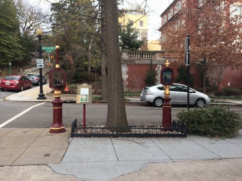
Location. 38° 54.798′ N, 77° 2.92′ W. Marker is in Northwest Washington in Washington, District of Columbia. It is in Sheridan-Kalorama. Marker is at the intersection of Decatur Place Northwest and 22nd Street Northwest, on the right when traveling east on Decatur Place Northwest. Touch for map. Marker is at or near this postal address: 2122 Decatur Place Northwest, Washington DC 20008, United States of America. Touch for directions.
Other nearby markers. At least 8 other markers are within walking distance of this marker. Alberto Santos-Dumont (within shouting distance of this marker); The Arts in Sheridan-Kalorama (within shouting distance of this marker); Vassil Levsky / Васил Левски
Credits. This page was last revised on January 30, 2023. It was originally submitted on January 13, 2018, by Devry Becker Jones of Washington, District of Columbia. This page has been viewed 277 times since then and 39 times this year. Photos: 1, 2, 3, 4. submitted on January 13, 2018, by Devry Becker Jones of Washington, District of Columbia. • Bill Pfingsten was the editor who published this page.


