Congress Heights in Southeast Washington in Washington, District of Columbia — The American Northeast (Mid-Atlantic)
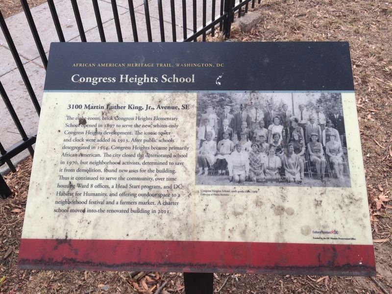
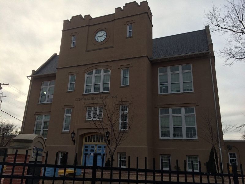
Congress Heights School
3100 Martin Luther King, Jr., Avenue, SE
| — | African American Heritage Trail, Washington DC | — |
Erected by Cultural Tourism DC.
Topics and series. This historical marker is listed in these topic lists: African Americans • Charity & Public Work • Civil Rights • Education. In addition, it is included in the African American Heritage Trail series list. A significant historical year for this entry is 1897.
Location. 38° 50.648′ N, 76° 59.881′ W. Marker is in Southeast Washington in Washington, District of Columbia. It is in
this page online

Regionally, this marker is in the Washington Metropolitan Area. It is also in the American Northeast, in the Upper South, in the Mid-Atlantic, in the Tidewater, and in the Chesapeake Bay Region. Globally, it is in North America, the Western Hemisphere, the Western World, and the Anglosphere.
Other nearby markers. At least 8 other markers are within walking distance of this marker: Welcome to St. Elizabeths East (approx. 0.3 miles away); History of St. Elizabeths Hospital (approx. 0.6 miles away); Redevelopment of St. Elizabeths (approx. 0.6 miles away); Fort Carroll (approx. 0.7 miles away); Defending the Capital (approx. 0.7 miles away); Republic F-105D Thunderchief (approx. ¾ mile away); St. Elizabeths Hospital (approx. ¾ mile away); St. Elizabeths Hospital Civil War Cemetery
More about this marker. Caption:
Congress Heights School, sixth grade class, 1969
Collection of Florine Batchelor
Credits. This page was last revised on August 3, 2025. It was originally submitted on January 15, 2018, by Devry Becker Jones of Washington, District of Columbia. This page has been viewed 1,871 times since then and 196 times this year. Photos: 1, 2, 3. submitted on January 15, 2018, by Devry Becker Jones of Washington, District of Columbia. • Bill Pfingsten was the editor who published this page.
