Darien in McIntosh County, Georgia — The American South (South Atlantic)
General's Island
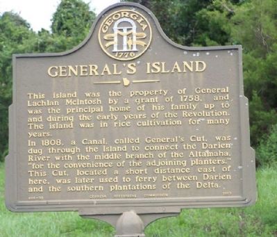
This island was the property of General Lachlan McIntosh by a grant of 1758, and was the principal home of his family up to and during the early years of the Revolution. The island was in rice cultivation for many years.
In 1808, a Canal, called General's Cut, was dug through the island to connect the Darien River with the middle branch of the Altamaha, "for the convenience of the adjoining planters." This Cut, located a short distance east of here, was later used to ferry between Darien and the southern plantations of the Delta.
Erected 1957 by Georgia Historical Commission. (Marker Number 095-23.)
Topics and series. This historical marker is listed in these topic lists: Colonial Era • Horticulture & Forestry • Notable Places • Settlements & Settlers • Waterways & Vessels. In addition, it is included in the Georgia Historical Society series list. A significant historical year for this entry is 1758.
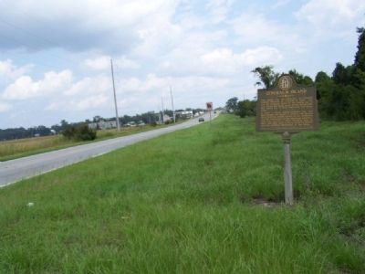
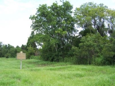
Location. 31° 21.746′ N, 81° 26.376′ W. Marker is in Darien, Georgia, in McIntosh County. Marker is on Ocean Highway (U.S. 17) 0.8 miles south of Darien, on the right when traveling north. Touch for map. Marker is in this post office area: Darien GA 31305, United States of America. Touch for directions.
Other nearby markers. At least 8 other markers are within walking distance of this marker. Darien Waterfront (approx. 0.4 miles away); Fort Darien (approx. half a mile away); Port of Darien (approx. half a mile away); Fort King George (approx. half a mile away); Saint Cyprian's Episcopal Church (approx. half a mile away); The Burning of Darien (approx. 0.6 miles away); Vernon Square (approx. 0.6 miles away); Methodists at Darien (approx. 0.6 miles away). Touch for a list and map of all markers in Darien.
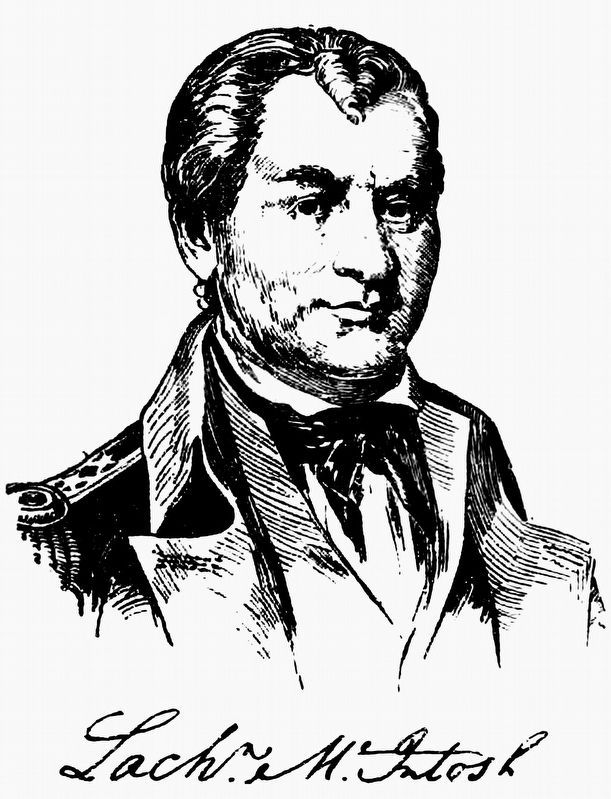
Also see . . . Lachlan McIntosh, Wikipedia entry. By 1770, McIntosh had become a leader in the independence movement in Georgia. In January 1775 he helped organize delegates to the Provincial Congress from the Darien District of St. Andrew Parish. (Submitted on September 9, 2008, by Mike Stroud of Bluffton, South Carolina.)
Credits. This page was last revised on December 15, 2020. It was originally submitted on September 9, 2008, by Mike Stroud of Bluffton, South Carolina. This page has been viewed 1,673 times since then and 49 times this year. Photos: 1, 2, 3. submitted on September 9, 2008, by Mike Stroud of Bluffton, South Carolina. 4. submitted on December 13, 2020, by Allen C. Browne of Silver Spring, Maryland. • Kevin W. was the editor who published this page.


