North End East in Sioux Falls in Minnehaha County, South Dakota — The American Midwest (Upper Plains)
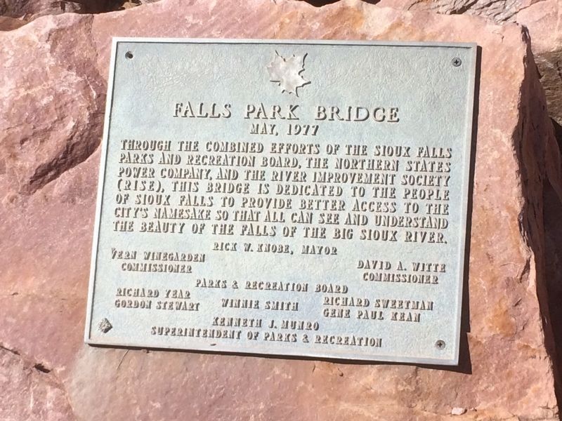
Falls Park Bridge
May, 1977
Photographed by Ruth VanSteenwyk, June 27, 2017
1. Falls Park Bridge Marker
Through the combined efforts of the Sioux Falls Parks and Recreation Board, the Northern States Power company, and the River Improvement Society (Rise). This bridge is dedicated to the people of Sioux Falls to provide better access to the city's namesake so that all can see and understand the beauty of the falls of the Big Sioux River.
Vern Winegarden, Commissioner
David A. Witte, Commissioner
Parks & Recreation Board
Richard Year
Richard Sweetman
Winnie Smith
Gordon Stewart
Gene Paul Kean
Kenneth J. Munro
Superintendent of Parks & Recreation
Erected 1977.
Topics. This historical marker is listed in these topic lists: Bridges & Viaducts • Parks & Recreational Areas.
Location. 43° 33.448′ N, 96° 43.336′ W. Marker is in Sioux Falls, South Dakota, in Minnehaha County. It is in North End East. It can be reached from North Weber Avenue. Marker is located in Falls Park. Touch for map. Marker is in this post office area: Sioux Falls SD 57104, United States of America. Touch for directions.

Regionally, this marker is in East
this page online
Other nearby markers. At least 8 other markers are within walking distance of this marker: Monarch of the Plains (within shouting distance of this marker); The Promise of Electricity (within shouting distance of this marker); Legacy of Ice and Rock (about 300 feet away, measured in a direct line); Hazel O'Connor (about 300 feet away); In the Name of Progress (about 300 feet away); Artisans at the Falls (about 300 feet away); Prison Quarry (about 300 feet away); Philander Prescott (about 400 feet away). Touch for a list and map of all markers in Sioux Falls.
Photographed by Ruth VanSteenwyk, June 27, 2017
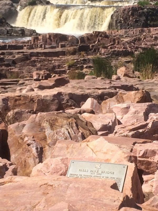
2. Falls Park Bridge Marker
Photographed by Ruth VanSteenwyk, June 27, 2017
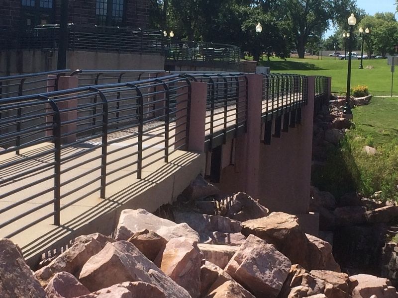
3. Falls Park Bridge
Credits. This page was last revised on February 16, 2023. It was originally submitted on January 16, 2018, by Ruth VanSteenwyk of Aberdeen, South Dakota. This page has been viewed 784 times since then and 33 times this year. Photos: 1, 2, 3. submitted on January 16, 2018, by Ruth VanSteenwyk of Aberdeen, South Dakota. • Bill Pfingsten was the editor who published this page.
