Near Wolf Creek in Josephine County, Oregon — The American West (Northwest)
Canyon Creek
Oregon History
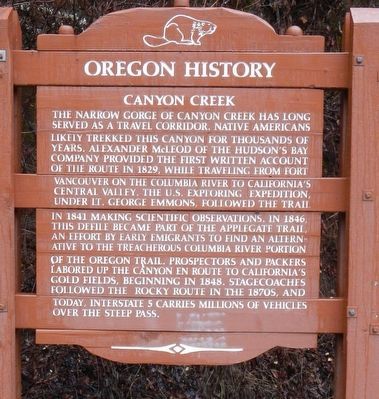
Photographed by Barry Swackhamer, September 21, 2017
1. Canyon Creek Marker
Erected by Oregon Department of Transportation.
Topics and series. This historical marker is listed in these topic lists: Exploration • Roads & Vehicles • Settlements & Settlers. In addition, it is included in the Applegate Trail, and the Oregon Beaver Boards series lists.
Location. 42° 53.898′ N,
this page online

Regionally, this marker is in Southern Oregon. It is also on the American Pacific Coast, in the Pacific Northwest, and in the Lewis & Clark Corridor. Globally, it is in North America, on the Ring of Fire, on the Pacific Rim, in the Western Hemisphere, in the Western World, and in the Anglosphere. Historically, it finds itself in what was once New Spain.
Other nearby markers. At least 8 other markers are within 16 miles of this marker, measured as the crow flies: Canyonville Applegate Trail Kiosk (approx. 2.4 miles away); United Methodist Church (approx. 2.6 miles away); Homeland of the Cow Creeks (approx. 3.9 miles away); History of the (grist) Wheel (approx. 9 miles away); City of Glendale (approx. 14.4 miles away); The Applegate Trail (approx. 15.9 miles away); Early Traveler Accommodations
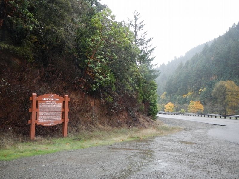
Photographed by Barry Swackhamer, September 21, 2017
2. Canyon Creek Marker
More about this marker. The marker is located on the Frontage Road at Interstate 5 Exit 95.
Credits. This page was last revised on January 17, 2018. It was originally submitted on January 17, 2018, by Barry Swackhamer of Brentwood, California. This page has been viewed 782 times since then and 82 times this year. Photos: 1, 2. submitted on January 17, 2018, by Barry Swackhamer of Brentwood, California.
