Canyonville in Douglas County, Oregon — The American West (Northwest)
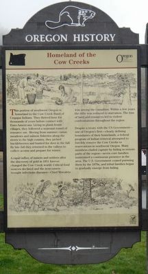
Homeland of the Cow Creeks
Photographed by Barry Swackhamer, September 21, 2017
1. Homeland of the Cow Creeks Marker
A rapid influx of miners and settlers after the discovery of gold in 1851 forever changed the Cow Creek world. Critical food sources declined and the newcomers brought infectious diseases – Chief Miwaleta was among the casualties. Within a few years the tribe was reduced to starvation. The loss of land and resources led to violent confrontations throughout the region.
Despite a treaty with the US Government – one of Oregon’s first – clearly defining boundaries of their homelands, a federal program of Indian removal attempted to forcibly remove the Cow Creeks to reservations in northwest Oregon. Many members eluded capture by hiding in remote parts of the region – seven core families maintained a continuous presence in the area. The U.S. Government ceased pursuing them by the 1870s, and tribal families began to gradually emerge from hiding.
Erected by Oregon Travel Information Council.
Topics and series. This historical marker is listed in this topic list: Indigenous Peoples and Communities. In addition, it is included in the Oregon Beaver Boards series list.
Location. 42° 56.58′ N, 123° 17.604′ W. Marker is in Canyonville, Oregon, in Douglas County. It can be reached from Creekside Road. Touch for map. Marker is in this post office area: Canyonville
this page online

Regionally, this marker is in Southern Oregon. It is also on the American Pacific Coast, in the Pacific Northwest, and in the Lewis & Clark Corridor. Globally, it is in North America, in the Cascade Range, on the Ring of Fire, on the Pacific Rim, in the Western Hemisphere, in the Western World, and in the Anglosphere.
Other nearby markers. At least 4 other markers are within 6 miles of this marker, measured as the crow flies: United Methodist Church (approx. 1.3 miles away); Canyonville Applegate Trail Kiosk (approx. 1.4 miles away); Canyon Creek (approx. 3.9 miles away); History of the (grist) Wheel (approx. 5.7 miles away).
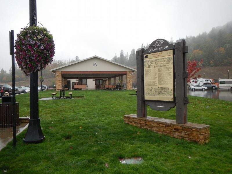
More about this marker. This marker is at Jordan Creek Rest Area which is located on the west side of Interstate 5 at Exit 99.
Photographed by Barry Swackhamer, September 21, 2017
2. Homeland of the Cow Creeks Marker
Credits. This page was last revised on February 11, 2018. It was originally submitted on January 17, 2018, by Barry Swackhamer of Brentwood, California. This page has been viewed 383 times since then and 29 times this year. Photos: 1, 2. submitted on January 17, 2018, by Barry Swackhamer of Brentwood, California.
