Butte Falls in Jackson County, Oregon — The American West (Northwest)
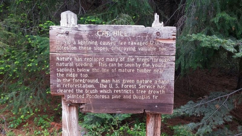
Cat Hill
Photographed by Douglass Halvorsen, May 31, 2015
1. Cat Hill Marker
Nature has replaced many of the trees through natural seeding. This can be seen by the young saplings below the line of mature timber near the ridge top.
In the foreground, man has given nature a hand in reforestation. The U.S. Forest Service has cleared the brush which restricts tree growth [with?] planted Ponderosa pine and Douglas fir saplings.
Topics. This historical marker is listed in this topic list: Environment. A significant historical year for this entry is 1910.
Location. 42° 32.758′ N, 122° 20.406′ W. Marker is in Butte Falls, Oregon, in Jackson County. It is on Park Meadows Rd (Forest Road 37). Touch for map. Marker is in this post office area: Butte Falls OR 97522, United States of America. Touch for directions.

Regionally, this marker is in Southern Oregon. It is also on the American Pacific Coast, in the Pacific Northwest, and in the Lewis & Clark Corridor. Globally, it is in North America, in the Cascade Range, on the Ring of Fire, on the Pacific Rim, in the Western Hemisphere, in the Western
this page online
Other nearby markers. At least 3 other markers are within 7 miles of this marker, measured as the crow flies: Douglas C. Ingram Memorial Tree (approx. 4.4 miles away); Whiskey Spring and Mt. McLoughlin (approx. 5.6 miles away); Butte Springs Watershed (approx. 7 miles away).
Regarding Cat Hill. It's interesting to note that this sign is most likely 40-plus years in age because the 'young saplings' mentioned are now mature trees and the verbiage on the marker no longer reflects the current conditions on this ridge. I also am assuming that the name of this hill, 'Cat Hill' is derived from the Caterpillar logging equipment that was used to help clear brush for new Ponderosa and Douglas Fir trees to grow.
Photographed by Douglass Halvorsen, May 31, 2015
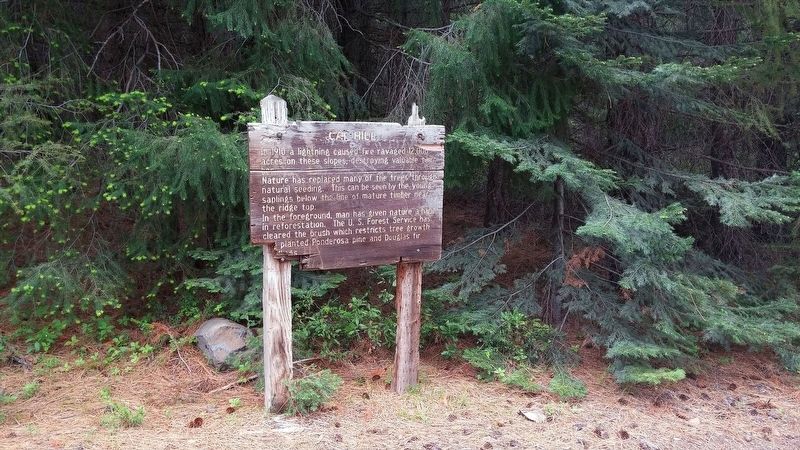
2. Cat Hill Marker
Photographed by Douglass Halvorsen, May 31, 2015
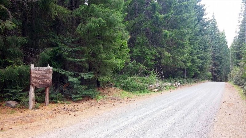
3. Cat Hill Marker
Photographed by Douglass Halvorsen, May 31, 2015
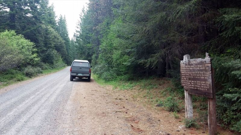
4. Cat Hill Marker
Credits. This page was last revised on January 20, 2018. It was originally submitted on January 17, 2018, by Douglass Halvorsen of Klamath Falls, Oregon. This page has been viewed 443 times since then and 31 times this year. Photos: 1, 2, 3, 4. submitted on January 17, 2018, by Douglass Halvorsen of Klamath Falls, Oregon. • Bill Pfingsten was the editor who published this page.
