Butte Falls in Jackson County, Oregon — The American West (Northwest)
Butte Springs Watershed
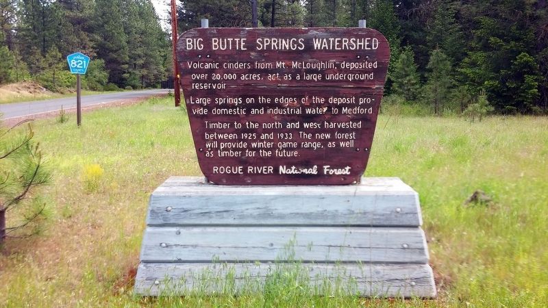
Large springs on the edges of the deposit provide domestic and industrial water to Medford.
Timber to the north and west harvested between 1925 and 1933. The new forest will provide winter game range, as well as timber for the future.
Erected by Rogue River National Forest.
Topics. This historical marker is listed in this topic list: Environment. A significant historical year for this entry is 1925.
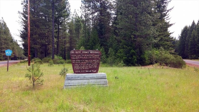
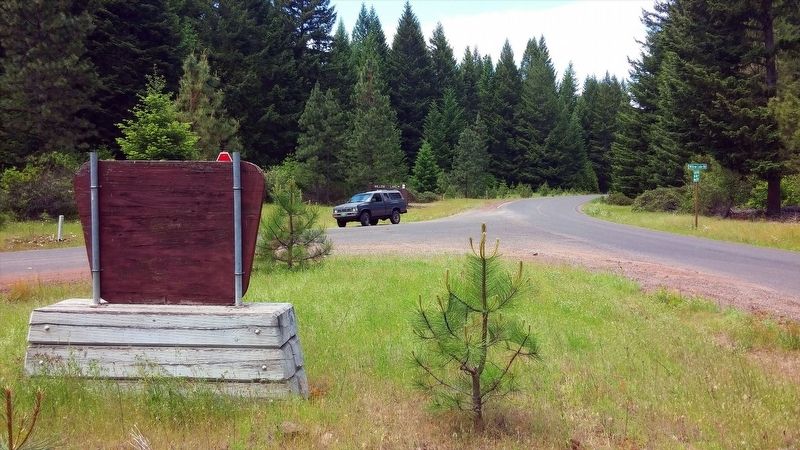
Location. 42° 29.488′ N, 122° 27.375′ W. Marker is in Butte Falls, Oregon, in Jackson County. Marker is at the intersection of Butte Falls Hwy and Willow Lake Rd, on the right when traveling east on Butte Falls Hwy. Touch for map. Marker is in this post office area: Butte Falls OR 97522, United States of America. Touch for directions.
Other nearby markers. At least 3 other markers are within 7 miles of this marker, measured as the crow flies. Whiskey Spring and Mt. McLoughlin (approx. 1.7 miles away); Douglas C. Ingram Memorial Tree (approx. 2.9 miles away); Cat Hill (approx. 7 miles away).
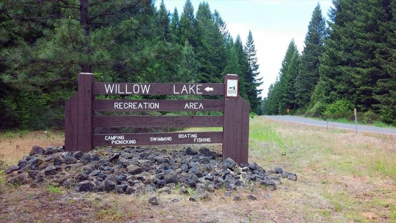
More about this marker. Marker is located at the entrance to Willow Lake Recreation Area.
Regarding Butte Springs Watershed. The Big Butte Springs Water Commission along with the Rogue River National Forest have blocked off many forest roads previously accessible to the public in order to protect the watershed territories. This is due mainly in response to drought conditions which have affected much of the Pacific Northwest the past number of years and the fear of man-made fires destroying precious lands.
Credits. This page was last revised on January 20, 2018. It was originally submitted on January 17, 2018, by Douglass Halvorsen of Klamath Falls, Oregon. This page has been viewed 167 times since then and 26 times this year. Photos: 1, 2, 3, 4. submitted on January 17, 2018, by Douglass Halvorsen of Klamath Falls, Oregon. • Bill Pfingsten was the editor who published this page.


