Vacaville in Solano County, California — The American West (Pacific Coastal)
"The Hospital"
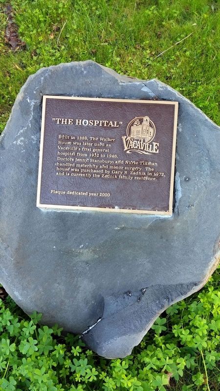
Photographed by Douglass Halvorsen, January 4, 2015
1. "The Hospital" Marker
Erected 2000 by Vacaville Heritage Council.
Topics. This historical marker is listed in this topic list: Science & Medicine. A significant historical year for this entry is 1886.
Location. 38° 21.342′ N, 121° 59.249′ W. Marker is in Vacaville, California, in Solano County. It is at the intersection of Elizabeth St and Catherine Street, on the right when traveling north on Elizabeth St. Touch for map. Marker is in this post office area: Vacaville CA 95688, United States of America. Touch for directions.

Regionally, this marker is in the San Francisco Bay Area, in the Sacramento Valley, and specifically in the Central Valley. It is also on the American Pacific Coast. Globally, it is in North America, on the Ring of Fire, on the Pacific Rim, in the Western Hemisphere, in the Western World, and in the Anglosphere. Historically, it finds itself in what was once New Spain and also Mexico’s Alta California.
Other nearby markers. At least 8 other markers are within walking distance of this marker: Built 1864 (about 300 feet away, measured in a direct line); Gillespie’s Store (about 300 feet away); Site of First Business Building of Record (about 300 feet away); The Odd Fellows Hall (about 400 feet away); Triangle Building (about 400 feet away); Walker Opera House (about 400 feet away); Old Town Hall (about 500 feet away); Barcar Building (about 600 feet away). Touch for a list and map of all markers in Vacaville.
this page online
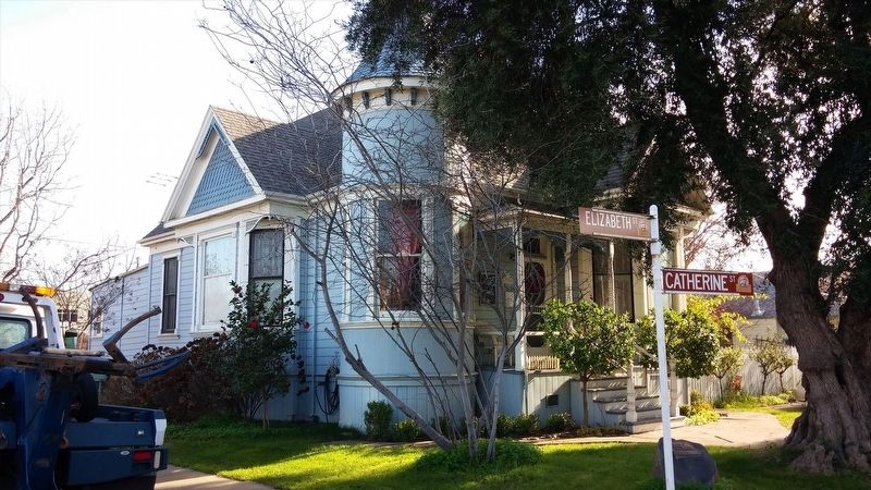
Photographed by Douglass Halvorsen, January 4, 2015
2. "The Hospital" Marker
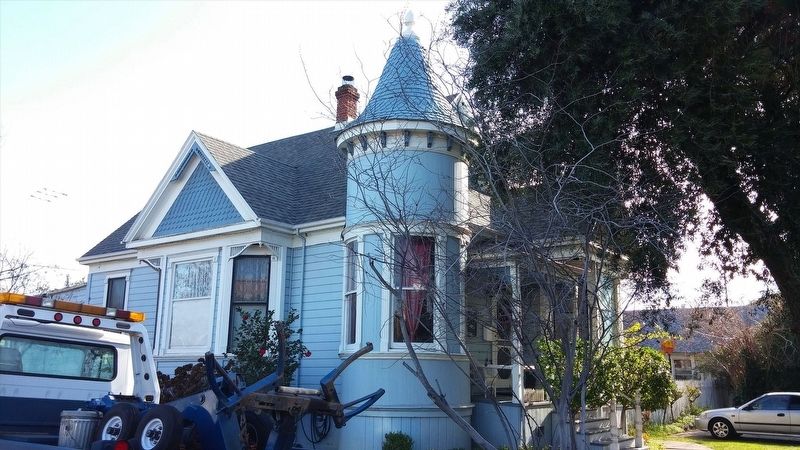
Photographed by Douglass Halvorsen, January 4, 2015
3. "The Hospital"
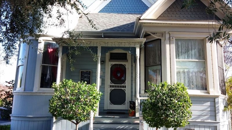
Photographed by Douglass Halvorsen, January 4, 2015
4. "The Hospital"
Credits. This page was last revised on January 22, 2018. It was originally submitted on January 19, 2018, by Douglass Halvorsen of Klamath Falls, Oregon. This page has been viewed 750 times since then and 54 times this year. Photos: 1, 2, 3, 4. submitted on January 19, 2018, by Douglass Halvorsen of Klamath Falls, Oregon. • Andrew Ruppenstein was the editor who published this page.
