Reno in Washoe County, Nevada — The American Mountains (Southwest)
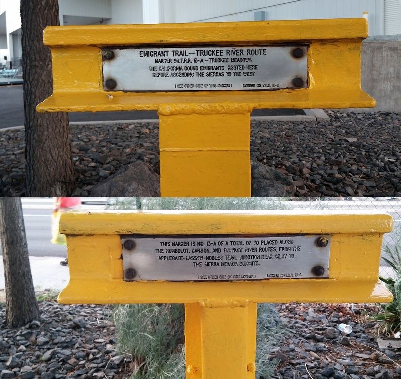
Emigrant Trail--Truckee River Route
Photographed by Douglass Halvorsen, May 25, 2014
1. Emigrant Trail--Truckee River Route Marker
Marker No.T.R.R. 13-A -- Truckee Meadows
the California bound emigrants rested here
before ascending the Sierras to the west
(back plaque)
This marker is No 13-A of a total of 70 placed along
the Humbolt, Carlson, and Truckee River routes. From the
Applegate-Lassen-Nobles Trail Junction near Imlay to
the Sierra Nevada summits.
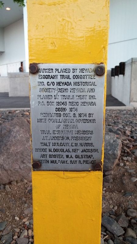
Erected 1974 by Nevada Emigrant Trail Committee, Nevada Historical Society, Trails West Inc. (Marker Number 13-A.)
Topics and series. This historical marker is listed in these topic lists: Exploration • Roads & Vehicles. In addition, it is included in the California Trail, and the Truckee Trail series lists. A significant historical date for this entry is August 27, 1854.
Location. 39° 29.234′ N, 119° 47.412′ W. Marker is in Reno, Nevada, in Washoe County. It is on East Peckham Lane east of Coliseum Way, on the right when traveling east. Touch for map. Marker is in this post office area: Reno NV 89502, United States of America. Touch for directions.

Regionally, this marker is in the Sierra Nevada and in the Lake Tahoe Basin. It is also in the American Mountain West. Globally,
this page online
Other nearby markers. At least 8 other markers are within 2 miles of this marker, measured as the crow flies: Junction House (approx. ¼ mile away); Veterans of Foreign Wars Historical Building (approx. half a mile away); Moana Springs (approx. 0.6 miles away); Historical Route - Emigrant Trail (approx. 1.4 miles away); Site of Reno Air Mail Field (approx. 1.4 miles away); Emigrant-Donner Camp (approx. 2.1 miles away); Emigrant Trail - Truckee River Route (approx. 2.1 miles away); Ioannis A. Lougaris VA Medical Center (approx. 2.1 miles away). Touch for a list and map of all markers in Reno.
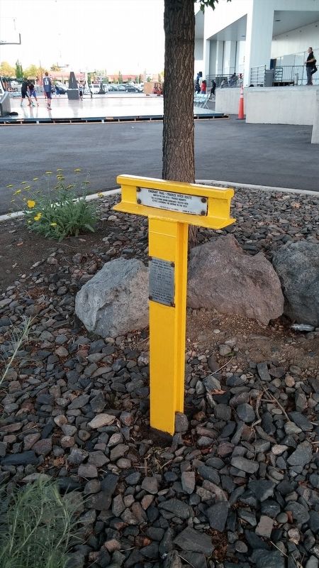
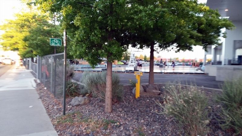
More about this marker. Marker is tucked under some trees next to the Reno Convention Center.
Regarding Emigrant Trail--Truckee River Route. Sometimes history needs to be rewritten when there is evidence to contradict prior, 'understood' knowledge of supposed historical 'facts'. Such is the case with this particular T-marker noting the emigration through
Photographed by Douglass Halvorsen, May 25, 2014
2. Emigrant Trail--Truckee River Route Marker
I discovered an online article written by Don Wiggins on the Trails West Inc. website that highlights the Truckee Trail that passed through Truckee Meadows as being made up of multiple trails, rather than a single trail for all emigrants (which was an understood assumption when this T-marker was erected here). Wiggins, a docent of the Nevada Historical Society in Reno, notes that depending on seasonal conditions and emigrant ingenuity, the Truckee Trail had as many as five different trail routes through Truckee Meadows, depending on the year. Wiggin's claim is based off of numerous emigrant diaries he read that give evidence to support this claim.
Photographed by Douglass Halvorsen, May 25, 2014
3. Emigrant Trail--Truckee River Route Marker
Photographed by Douglass Halvorsen, May 25, 2014
4. Emigrant Trail--Truckee River Route Marker
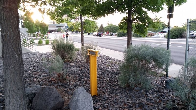
Photographed by Douglass Halvorsen, May 25, 2014
5. Emigrant Trail--Truckee River Route Marker
Credits. This page was last revised on February 21, 2018. It was originally submitted on January 19, 2018, by Douglass Halvorsen of Klamath Falls, Oregon. This page has been viewed 1,554 times since then and 82 times this year. Photos: 1, 2, 3, 4, 5. submitted on January 19, 2018, by Douglass Halvorsen of Klamath Falls, Oregon. • Andrew Ruppenstein was the editor who published this page.
