Lodi in San Joaquin County, California — The American West (Pacific Coastal)
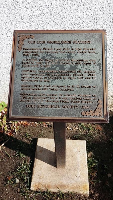
Old Lodi (Mokelumne Station)
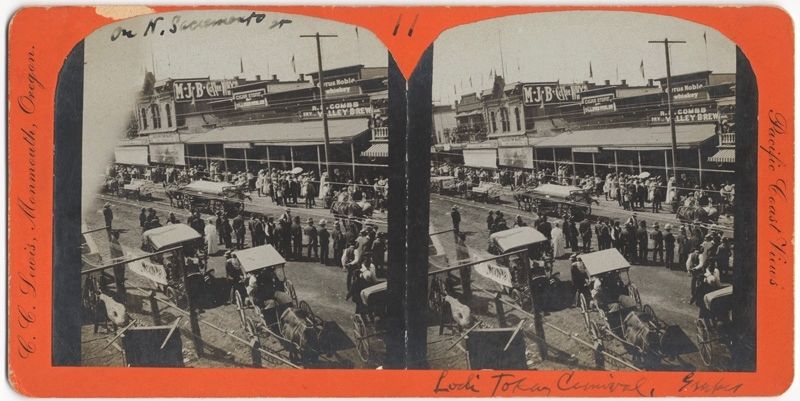
Sacramento Street from Oak to Elm Streets comprised the business and social center from 1869 - 1919.
A C.P.R.R. Co. Depot in Central Mokelumne was built in 1868. S.P.R.R. located a new depot 1/2 block north in 1907.
CENTRAL CALIFORNIA TRACTION CO. electric cars operated on Sacramento Street. This opened travel to Stockton in Sept. 1907 and to Sacramento in 1910.
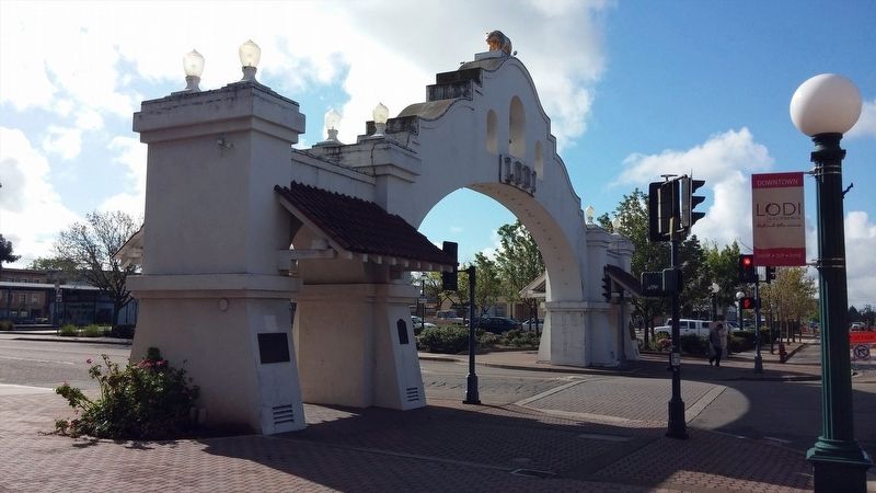
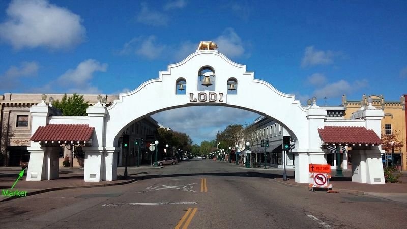
Mission Style Arch designed by E. B. Brown to commemorate 1907 Tokay Carnival.
September 1907 Bertha De Almado reigned as "Queen Zinfandel" for a 3 day carnival (idea of Charles Ray) to advertise Flame Tokay Grapes.
Erected 1994 by Lodi Historical Society.
Topics. This historical marker is listed in these topic lists: Industry & Commerce • Railroads & Streetcars • Roads & Vehicles. A significant historical month for this entry is September 1907.
Location. 38° 8.043′ N, 121° 16.328′ W. Marker is in Lodi, California, in San Joaquin County. Marker is at the intersection of West Pine Street and North Sacramento Street, on the right when traveling east on West Pine Street. Touch for map. Marker is in this post office area: Lodi CA 95240, United States of America. Touch for directions.
Other nearby markers. At least 8 other markers are within walking distance of this marker. Lodi Arch (here, next to this marker); Lodi Mission Arch (a few steps from this marker); The First A&W Root Beer (within shouting distance of this marker); Lodi Opera House (about 400 feet away, measured in a direct line); Hotel Lodi (about 500 feet away); City Hall, Fire House and Jail (approx. 0.2 miles away); Hale Park (approx. 0.2 miles away); The Valley Review (approx. 0.2 miles away). Touch for a list and map of all markers in Lodi.
Credits. This page was last revised on August 18, 2020. It was originally submitted on January 19, 2018, by Douglass Halvorsen of Klamath Falls, Oregon. This page has been viewed 272 times since then and 24 times this year. Photos: 1, 2, 3. submitted on January 19, 2018, by Douglass Halvorsen of Klamath Falls, Oregon. 4. submitted on January 23, 2018. • Andrew Ruppenstein was the editor who published this page.


