
Old Sacramento in Sacramento County, California — The American West (Pacific Coastal)
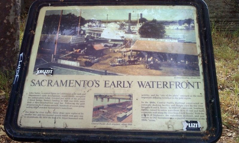
Sacramento's Early Waterfront
Photographed by Douglass Halvorsen, June 1, 2013
1. Sacramento's Early Waterfront Marker
Too large for river travel, these ships were replaced by smaller one- and two-masted vessels which soon gave way to steamboats. By 1854 the foot of K Street hummed with activity, and the "city of the plain" emerged as the most important shipping terminal in the gold region.
In the 1860s, Central Pacific Railroad constructed an extensive docking facility and freight yard by the river between H and K Streets. In 1910 CP's successor, Southern Pacific, raised its entire waterfront 10 to 15 feet and built a concrete wall along the river from I to R Streets. With the growth of highways, the waterfront declined, and now visitors to Old Sacramento see a partial restoration of the 1860s "scene."
Topics. This historical marker is listed
this page online
Location. 38° 35.033′ N, 121° 30.362′ W. Marker is in Sacramento, California, in Sacramento County. It is in Old Sacramento. It can be reached from Sacramento River Bike Trail north of J Street. Touch for map. Marker is in this post office area: Sacramento CA 95814, United States of America. Touch for directions.

Regionally, this marker is in the Sacramento Valley and specifically in the Central Valley. It is also on the American Pacific Coast. Globally, it is in North America, on the Ring of Fire, in the Pacific Rim, in the Western Hemisphere, in the Western World, and in the Anglosphere. Historically, it finds itself in what was once New Spain and also Mexico’s Alta California.
Other nearby markers. At least 8 other markers are within walking distance of this marker: Eagle Theatre (within shouting distance of this marker); Booth Building (about 300 feet away, measured in a direct line); New England Seed Store (about 400 feet away); Prisoner of the River (about 400 feet away); Vernon-Brannan House (about 400 feet away); Sacramento Water Works
Photographed by Douglass Halvorsen, June 1, 2013
2. Sacramento's Early Waterfront Marker
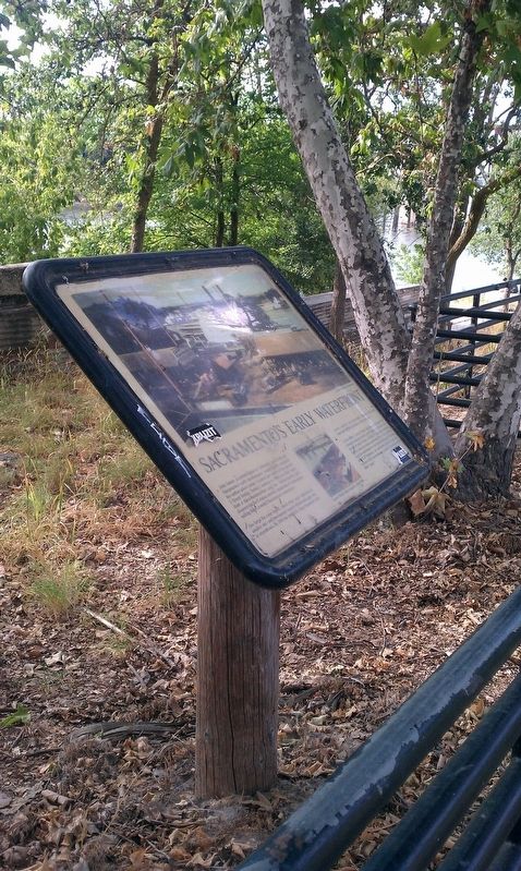
More about this marker. Marker is located in Old Sacramento River Park along the Sacramento River Bike Trail.
Credits. This page was last revised on February 7, 2023. It was originally submitted on January 20, 2018, by Douglass Halvorsen of Klamath Falls, Oregon. This page has been viewed 655 times since then and 56 times this year. Photos: 1, 2. submitted on January 20, 2018, by Douglass Halvorsen of Klamath Falls, Oregon. • Andrew Ruppenstein was the editor who published this page.
