Macdoel in Siskiyou County, California — The American West (Pacific Coastal)
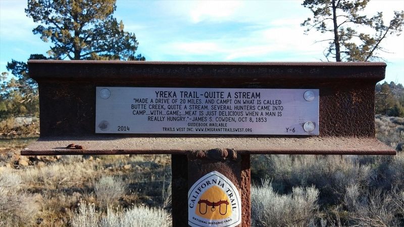
Yreka Trail - Quite a Stream
Butte Creek, quite a stream, several hunters came into
camp ... with ... game; ... meat is just delicious when a man is
really hungry.” James S. Cowden, Oct 8, 1853.
Erected 2008 by Trails West Inc. (Marker Number Y-6.)
Topics and series. This historical marker is listed in these topic lists: Exploration • Roads & Vehicles. In addition, it is included in the California Trail, the Trails West Inc., and the Yreka Trail series lists.
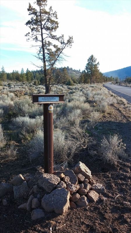
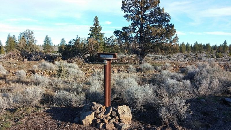
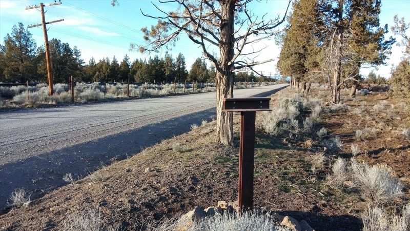
Location. 41° 45.054′ N, 121° 59.881′ W. Marker is in Macdoel, California, in Siskiyou County. Marker is on Old State Hwy, on the left when traveling north. Touch for map. Marker is in this post office area: Macdoel CA 96058, United States of America. Touch for directions.
Other nearby markers. At least 8 other markers are within 8 miles of this marker, measured as the crow flies. Yreka Trail - One Very Steep Stony Hill (approx. 2.6 miles away); Yreka Trail - Quite Stony Today (approx. 3.7 miles away); Yreka Trail - Up Butte Creek (approx. 3.9 miles away); Yreka Trail - Out of Danger (approx. 4.6 miles away); Yreka Trail - Near a Little Lake (approx. 5.8 miles away); Yreka Trail - No Water (approx. 7.1 miles away); Yreka Historic Trail (approx. 7.3 miles away); Yreka Trail - Are Yet On Butte Creek (approx. 7.7 miles away). Touch for a list and map of all markers in Macdoel.
Credits. This page was last revised on February 27, 2018. It was originally submitted on January 21, 2018, by Douglass Halvorsen of Klamath Falls, Oregon. This page has been viewed 230 times since then and 13 times this year. Photos: 1, 2, 3, 4. submitted on January 21, 2018, by Douglass Halvorsen of Klamath Falls, Oregon. • Andrew Ruppenstein was the editor who published this page.


