Fort Klamath in Klamath County, Oregon — The American West (Northwest)
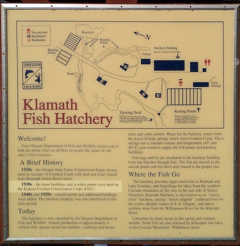
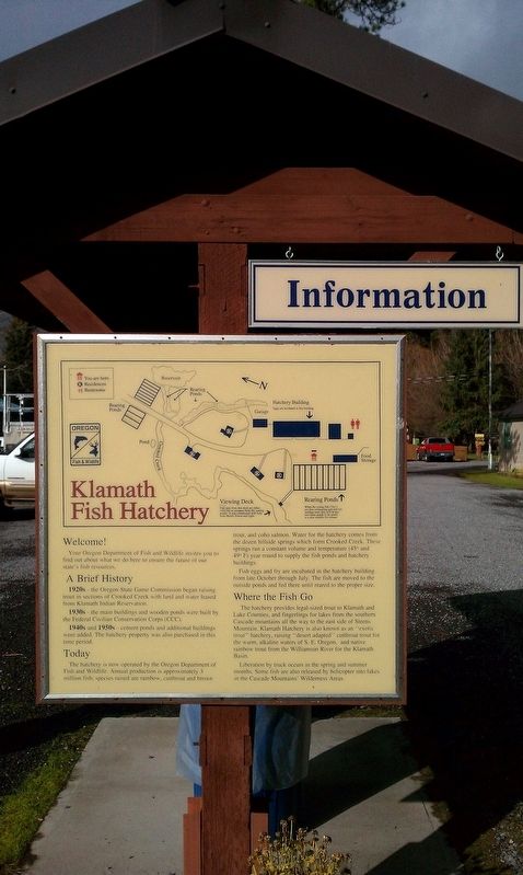
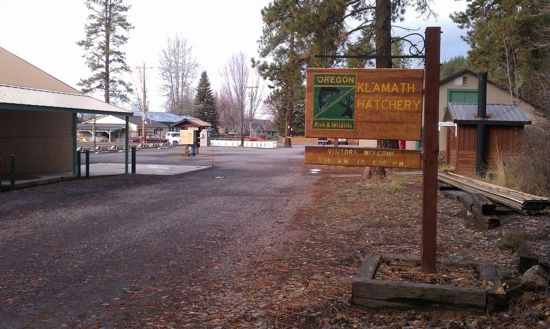
Klamath Fish Hatchery
Your Oregon Department of Fish and Wildlife invites you to find out about what we do here to ensure the future of our state's fish resources.
A Brief History
1920s - the Oregon State Game Commission began raising trout in sections of Crooked Creek with land and water leased from Klamath Indian Reservation.
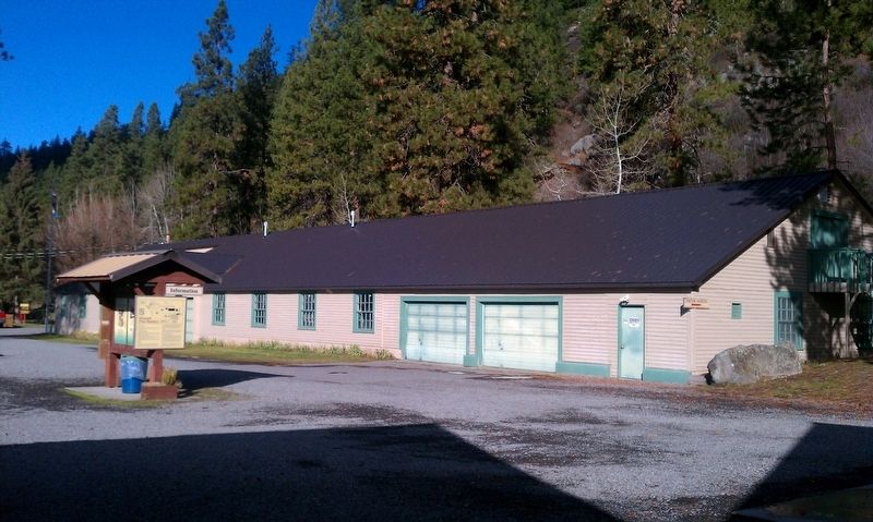
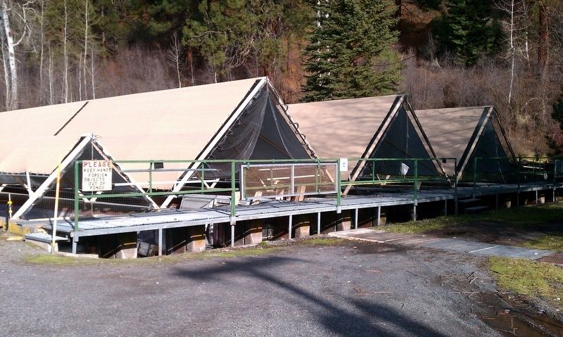
1930s - the main buildings and wooden ponds were built by the Federal Civilian Conservation Corps (CCC).
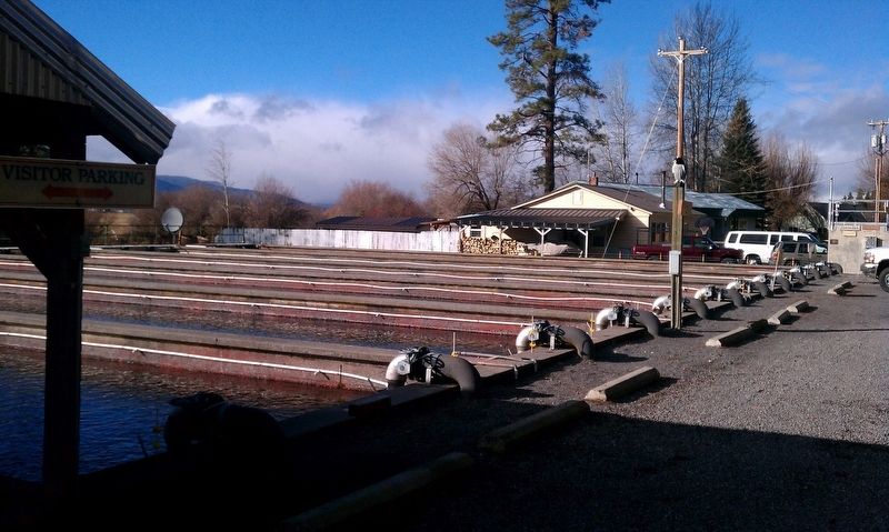
1940s and 1950s - cement ponds and additional buildings were added. The hatchery property was also purchased in this time period.
Today
The hatchery is now operated by the Oregon Department of Fish and Wildlife. Annual production is approximately 3 million fish; species raised are rainbow, cutthroat and brown trout, and coho salmon. Water for the hatchery comes from the dozen hillside springs which form Crooked Creek. These springs run a constant volume and temperature (45° and 49° F) year-round to supply the fish ponds and hatchery buildings.
Fish eggs and fry are incubated in the hatchery building from late October through July. The fish are moved to the outside ponds and fed there until reared to the proper size.
Where the Fish Go
The hatchery provides legal-sized trout to Klamath and Lake Counties, and fingerlings for lakes from the southern Cascade mountains all the way to the east side of Steens Mountain. Klamath Hatchery is also known as an “exotic trout” hatchery, raising “desert adapted” cutthroat trout for the warm, alkaline waters of S.E. Oregon, and native rainbow trout from the Willamette River for the Klamath Basin.
Liberation by truck occurs in the spring and summer months. Some fish are also released by helicopter into lakes in the Cascade Mountains' Wilderness Areas.
Erected by Oregon Fish and Wildlife.
Topics and series. This historical marker is listed in these topic lists: Animals • Environment. In addition, it is included in the Civilian Conservation Corps (CCC) series list.
Location. 42° 39.027′ N, 121° 56.836′ W. Marker is in Fort Klamath, Oregon, in Klamath County. Marker can be reached from Crater Lake Hwy (Oregon Route 62). Touch for map. Marker is in this post office area: Fort Klamath OR 97626, United States of America. Touch for directions.
Other nearby markers. At least 8 other markers are within 5 miles of this marker, measured as the crow flies. The First Sawmill (approx. 3.1 miles away); Ft. Klamath Frontier Post (approx. 3.1 miles away); Site of Fort Klamath (approx. 3.3 miles away); Collier Memorial Logging Museum (approx. 3.4 miles away); Stout Abner (approx. 3.4 miles away); Williamson River (approx. 3˝ miles away); Fort Klamath Military Cemetery Memorial (approx. 3˝ miles away); The Town of Fort Klamath (approx. 4.4 miles away). Touch for a list and map of all markers in Fort Klamath.
More about this marker. Marker is located in Klamath Fish Hatchery
Credits. This page was last revised on January 25, 2018. It was originally submitted on January 22, 2018, by Douglass Halvorsen of Klamath Falls, Oregon. This page has been viewed 198 times since then and 7 times this year. Photos: 1, 2, 3, 4, 5, 6. submitted on January 22, 2018, by Douglass Halvorsen of Klamath Falls, Oregon. • Bill Pfingsten was the editor who published this page.
